1571 Weatherstone Dr Unit 231 Ann Arbor, MI 48108
Estimated Value: $269,000 - $285,000
2
Beds
2
Baths
1,222
Sq Ft
$226/Sq Ft
Est. Value
About This Home
This home is located at 1571 Weatherstone Dr Unit 231, Ann Arbor, MI 48108 and is currently estimated at $276,070, approximately $225 per square foot. 1571 Weatherstone Dr Unit 231 is a home located in Washtenaw County with nearby schools including Bryant Elementary School, Pattengill Elementary School, and Tappan Middle School.
Ownership History
Date
Name
Owned For
Owner Type
Purchase Details
Closed on
Nov 22, 2019
Sold by
Espinoza Kelly A
Bought by
Espinoza Kelly A and Kelly A Espinoza Living Trust
Current Estimated Value
Purchase Details
Closed on
Aug 31, 2010
Sold by
Armstrong Sarah L
Bought by
Espinoza Kelly A
Home Financials for this Owner
Home Financials are based on the most recent Mortgage that was taken out on this home.
Original Mortgage
$105,578
Outstanding Balance
$69,468
Interest Rate
4.37%
Mortgage Type
FHA
Estimated Equity
$206,602
Purchase Details
Closed on
Feb 2, 1996
Sold by
Weatherstone Dev Corp
Bought by
Armstrong Sarah L
Home Financials for this Owner
Home Financials are based on the most recent Mortgage that was taken out on this home.
Original Mortgage
$77,500
Interest Rate
7.16%
Create a Home Valuation Report for This Property
The Home Valuation Report is an in-depth analysis detailing your home's value as well as a comparison with similar homes in the area
Home Values in the Area
Average Home Value in this Area
Purchase History
| Date | Buyer | Sale Price | Title Company |
|---|---|---|---|
| Espinoza Kelly A | -- | None Available | |
| Espinoza Kelly A | $107,000 | Cis | |
| Armstrong Sarah L | $105,090 | -- |
Source: Public Records
Mortgage History
| Date | Status | Borrower | Loan Amount |
|---|---|---|---|
| Open | Espinoza Kelly A | $105,578 | |
| Previous Owner | Armstrong Sarah L | $77,500 |
Source: Public Records
Tax History Compared to Growth
Tax History
| Year | Tax Paid | Tax Assessment Tax Assessment Total Assessment is a certain percentage of the fair market value that is determined by local assessors to be the total taxable value of land and additions on the property. | Land | Improvement |
|---|---|---|---|---|
| 2025 | $2,402 | $125,710 | $0 | $0 |
| 2024 | $1,607 | $120,895 | $0 | $0 |
| 2023 | $1,544 | $110,300 | $0 | $0 |
| 2022 | $2,333 | $101,100 | $0 | $0 |
| 2021 | $2,277 | $95,200 | $0 | $0 |
| 2020 | $2,234 | $93,400 | $0 | $0 |
| 2019 | $2,105 | $89,800 | $89,800 | $0 |
| 2018 | $2,072 | $84,300 | $0 | $0 |
| 2017 | $2,008 | $83,000 | $0 | $0 |
| 2016 | $1,283 | $50,463 | $0 | $0 |
| 2015 | -- | $50,313 | $0 | $0 |
| 2014 | -- | $48,742 | $0 | $0 |
| 2013 | -- | $48,742 | $0 | $0 |
Source: Public Records
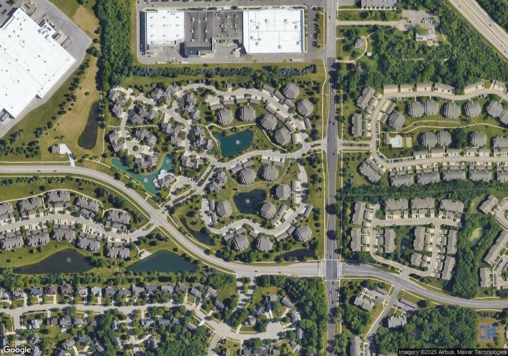
Map
Nearby Homes
- 1533 Weatherstone Dr
- 1573 Oakfield Dr Unit 120
- 1579 Oakfield Dr Unit 123
- 1468 Fox Pointe Cir
- 1623 Long Meadow Trail Unit 59
- 1452 Millbrook Trail Unit 178
- 1429 Millbrook Trail Unit 172
- 1631 Weatherstone Dr
- 5431 Poppydrew Ln Unit 58
- 1354 Fox Pointe Cir
- 1307 Millbrook Trail
- 1998 Bancroft Dr
- 3426 Breckland Ct Unit 59
- 2936 Signature Blvd Unit 24
- 2944 Signature Blvd
- 3956 Bridle Pass Unit 28
- 1670 W Ellsworth Rd
- 4107 Boulder Pond Dr Unit 33
- 2130 Park Dr Unit 1
- 2134 Park Dr Unit 2
- 1579 Weatherstone Dr
- 1575 Weatherstone Dr
- 1563 Weatherstone Dr Unit 236
- 1567 Weatherstone Dr
- 1581 Weatherstone Dr Unit 238
- 1573 Weatherstone Dr
- 1577 Weatherstone Dr
- 1565 Weatherstone Dr
- 1569 Weatherstone Dr
- 1541 Weatherstone Dr Unit 228
- 1537 Weatherstone Dr
- 1541 Weatherstone Dr
- 1537 Weatherstone Dr Unit 224
- 1533 Weatherstone Dr Unit 222
- 1529 Weatherstone Dr
- 1539 Weatherstone Dr Unit 227
- 1531 Weatherstone Dr
- 1535 Weatherstone Dr
- 1527 Weatherstone Dr Unit 230
- 1589 Weatherstone Dr Unit 241