15711 Cox Rd Wright City, MO 63390
Estimated Value: $246,688 - $383,000
Studio
--
Bath
988
Sq Ft
$301/Sq Ft
Est. Value
About This Home
This home is located at 15711 Cox Rd, Wright City, MO 63390 and is currently estimated at $297,172, approximately $300 per square foot. 15711 Cox Rd is a home with nearby schools including Wright City West Elementary School, Wright City East Elementary School, and Wright City Middle School.
Ownership History
Date
Name
Owned For
Owner Type
Purchase Details
Closed on
Apr 24, 2021
Sold by
Morris Michele N
Bought by
Morris Michele N
Current Estimated Value
Home Financials for this Owner
Home Financials are based on the most recent Mortgage that was taken out on this home.
Original Mortgage
$118,000
Interest Rate
2.3%
Mortgage Type
New Conventional
Purchase Details
Closed on
Nov 24, 2006
Sold by
Mobley Michael G and Mobley Paula A
Bought by
Staub Michele N
Home Financials for this Owner
Home Financials are based on the most recent Mortgage that was taken out on this home.
Original Mortgage
$116,800
Interest Rate
6.41%
Mortgage Type
New Conventional
Create a Home Valuation Report for This Property
The Home Valuation Report is an in-depth analysis detailing your home's value as well as a comparison with similar homes in the area
Purchase History
| Date | Buyer | Sale Price | Title Company |
|---|---|---|---|
| Morris Michele N | -- | None Available | |
| Morris Michele N | -- | None Listed On Document | |
| Staub Michele N | -- | None Available |
Source: Public Records
Mortgage History
| Date | Status | Borrower | Loan Amount |
|---|---|---|---|
| Previous Owner | Morris Michele N | $118,000 | |
| Previous Owner | Staub Michele N | $116,800 |
Source: Public Records
Tax History
| Year | Tax Paid | Tax Assessment Tax Assessment Total Assessment is a certain percentage of the fair market value that is determined by local assessors to be the total taxable value of land and additions on the property. | Land | Improvement |
|---|---|---|---|---|
| 2025 | $1,280 | $20,400 | $3,490 | $16,910 |
| 2024 | $1,280 | $18,053 | $3,088 | $14,965 |
| 2023 | $1,106 | $18,053 | $3,088 | $14,965 |
| 2022 | $1,029 | $16,717 | $2,860 | $13,857 |
| 2021 | $1,029 | $16,717 | $2,860 | $13,857 |
| 2020 | $1,031 | $16,717 | $2,860 | $13,857 |
| 2019 | $1,027 | $16,717 | $0 | $0 |
| 2017 | $992 | $16,717 | $0 | $0 |
| 2016 | $992 | $16,717 | $0 | $0 |
| 2015 | -- | $16,716 | $0 | $0 |
| 2011 | -- | $16,720 | $0 | $0 |
Source: Public Records
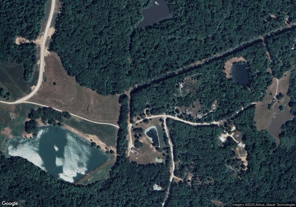
Map
Nearby Homes
- 2832 Morgan Lake Dr
- 2740 Tyrol View Ct
- 2813 Tyrol Ridge Dr
- 2692 Klor Lane Dr
- 2835 Tyrolean Way Dr
- 2834 Tyrolean Way Dr
- 2537 Alpine Woods Dr
- 23012 Abrolat Tract 7
- 23001 Abrolat Tract 2
- 23001 Abrolat Tract 6
- 23001 Abrolat Tract 5
- 23023 Abrolat Tract 4
- 23023 Abrolat Tract 3
- 22643 Abrolat Tract 1
- 2543 Alpine Woods Dr
- 2528 Alpine Trails Dr
- 13556 Rustic Valley Dr
- 0 Mark Peterson Dr
- 0-1 Mark Peterson Dr
- 2506 Alpine Woods Dr
- 22492 Peaceful Acres Dr
- 22484 Peaceful Acres Dr
- 22484 Peaceful Acres Dr
- 15774 Cox Rd
- 22132 Lakewood Dr
- 15600 Cox Rd
- 22117 Lakewood Dr
- 1 Cox Rd
- 9+/-Acres Cox Rd
- 9ACRES Cox Rd
- 18+/- Acre Cox Rd
- 22084 Lakewood Dr
- 15331 Cox Rd
- 22057 Lakewood Dr Unit 2807
- 15317 Cox Rd
- 15317 Cox Rd Unit 2607
- 1 Cox 13 71ac Rd Unit 13.71ac
- 1 Cox 13 71ac Rd
- 21935 Lakewood Dr Unit 2847
- 21846 Lakewood Dr
Your Personal Tour Guide
Ask me questions while you tour the home.