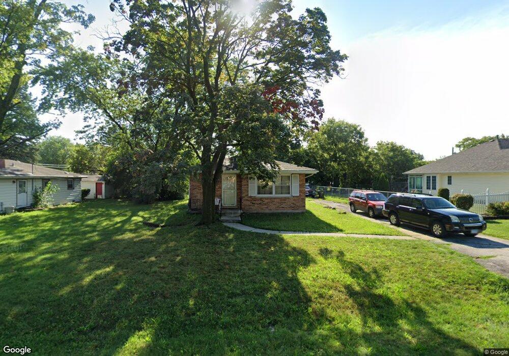
15713 Spaulding Ave Markham, IL 60428
Estimated Value: $129,087 - $182,000
3
Beds
1
Bath
1,105
Sq Ft
$138/Sq Ft
Est. Value
About This Home
This home is located at 15713 Spaulding Ave, Markham, IL 60428 and is currently estimated at $152,522, approximately $138 per square foot. 15713 Spaulding Ave is a home located in Cook County with nearby schools including Mae Jemison School, Prairie-Hills Junior High School, and Bremen High School.
Ownership History
Date
Name
Owned For
Owner Type
Purchase Details
Closed on
Jan 10, 2012
Sold by
Wells Fargo Bank Na
Bought by
Harris Rickima N
Current Estimated Value
Purchase Details
Closed on
Oct 19, 2011
Sold by
Dairo Ayodeji T
Bought by
Wells Fargo Bank Na
Purchase Details
Closed on
Feb 14, 2007
Sold by
Franklin Russell
Bought by
Dairo Ayodeji T
Home Financials for this Owner
Home Financials are based on the most recent Mortgage that was taken out on this home.
Original Mortgage
$109,250
Interest Rate
9.78%
Mortgage Type
Adjustable Rate Mortgage/ARM
Create a Home Valuation Report for This Property
The Home Valuation Report is an in-depth analysis detailing your home's value as well as a comparison with similar homes in the area
Home Values in the Area
Average Home Value in this Area
Purchase History
| Date | Buyer | Sale Price | Title Company |
|---|---|---|---|
| Harris Rickima N | $19,500 | None Available | |
| Wells Fargo Bank Na | -- | None Available | |
| Dairo Ayodeji T | $115,000 | None Available |
Source: Public Records
Mortgage History
| Date | Status | Borrower | Loan Amount |
|---|---|---|---|
| Previous Owner | Dairo Ayodeji T | $109,250 |
Source: Public Records
Tax History
| Year | Tax Paid | Tax Assessment Tax Assessment Total Assessment is a certain percentage of the fair market value that is determined by local assessors to be the total taxable value of land and additions on the property. | Land | Improvement |
|---|---|---|---|---|
| 2025 | $2,508 | $6,000 | $830 | $5,170 |
| 2024 | $2,508 | $6,000 | $830 | $5,170 |
| 2023 | $1,023 | $6,000 | $830 | $5,170 |
| 2022 | $1,023 | $2,963 | $738 | $2,225 |
| 2021 | $1,027 | $2,963 | $738 | $2,225 |
| 2020 | $1,092 | $2,963 | $738 | $2,225 |
| 2019 | $1,611 | $3,899 | $645 | $3,254 |
| 2018 | $1,557 | $3,899 | $645 | $3,254 |
| 2017 | $1,494 | $3,899 | $645 | $3,254 |
| 2016 | $1,781 | $3,854 | $553 | $3,301 |
| 2015 | $1,602 | $3,854 | $553 | $3,301 |
| 2014 | $1,623 | $3,854 | $553 | $3,301 |
| 2013 | $1,481 | $3,891 | $553 | $3,338 |
Source: Public Records
Map
Nearby Homes
- 15700 Turner Ave
- 15725 Kedzie Ave Unit 9
- 15525 Homan Ave
- 15515 Homan Ave
- 15511 Homan Ave
- 15503 Homan Ave
- 15516 Frontage Rd
- 15742 Central Park Ave
- 15826 Central Park Ave
- 3451 W 155th St
- 15433 Crocket Ln
- 3048 Sherwood Ave
- 16107 Spaulding Ave
- 3315 W 161st St
- 16030 Saint Louis Ave
- 16110 Homan Ave
- 15328 Parkside Dr
- 16155 Kedzie Pkwy
- 15531 Millard Ave
- 3120 Wilshire Ave
- 15713 Spaulding Ave
- 15721 Spaulding Ave
- 15721 Spaulding Ave
- 15701 Spaulding Ave
- 15701 Spaulding Ave
- 15710 Sawyer Ave
- 15710 Sawyer Ave
- 15731 Spaulding Ave
- 15731 Spaulding Ave
- 15716 Sawyer Ave
- 15716 Sawyer Ave
- 15714 Sawyer Ave
- 3235 W 157th St
- 3235 W 157th St
- 3235 W 157th St
- 3235 W 157th St
- 15720 Sawyer Ave
- 15720 Sawyer Ave
- 15710 Spaulding Ave
- 15726 Sawyer Ave
Your Personal Tour Guide
Ask me questions while you tour the home.