15715 N 55th West Ave Skiatook, OK 74070
Estimated Value: $322,000 - $351,000
4
Beds
3
Baths
2,576
Sq Ft
$131/Sq Ft
Est. Value
About This Home
This home is located at 15715 N 55th West Ave, Skiatook, OK 74070 and is currently estimated at $338,000, approximately $131 per square foot. 15715 N 55th West Ave is a home located in Osage County with nearby schools including Marrs Elementary School, Newman Middle School, and Skiatook High School.
Ownership History
Date
Name
Owned For
Owner Type
Purchase Details
Closed on
Jul 23, 2019
Sold by
Dunn Nikki J and Soule Nikki J
Bought by
Soule Dennis L
Current Estimated Value
Purchase Details
Closed on
Feb 6, 2004
Sold by
Nimmo John C and Nimmo Peggy J
Bought by
Soule Dennis L and Soule Nikki J
Purchase Details
Closed on
Mar 22, 1996
Sold by
Roberts Building Supply Inc
Bought by
Osage Oaks Inc
Create a Home Valuation Report for This Property
The Home Valuation Report is an in-depth analysis detailing your home's value as well as a comparison with similar homes in the area
Home Values in the Area
Average Home Value in this Area
Purchase History
| Date | Buyer | Sale Price | Title Company |
|---|---|---|---|
| Soule Dennis L | -- | None Available | |
| Soule Dennis L | $193,000 | -- | |
| Nimmo John C | $145,000 | -- | |
| Osage Oaks Inc | $20,000 | -- |
Source: Public Records
Tax History Compared to Growth
Tax History
| Year | Tax Paid | Tax Assessment Tax Assessment Total Assessment is a certain percentage of the fair market value that is determined by local assessors to be the total taxable value of land and additions on the property. | Land | Improvement |
|---|---|---|---|---|
| 2025 | $2,829 | $29,430 | $3,135 | $26,295 |
| 2024 | $2,661 | $27,659 | $3,044 | $24,615 |
| 2023 | $2,661 | $26,853 | $3,044 | $23,809 |
| 2022 | $2,483 | $25,312 | $3,044 | $22,268 |
| 2021 | $2,416 | $25,312 | $3,044 | $22,268 |
| 2020 | $2,357 | $24,575 | $3,044 | $21,531 |
| 2019 | $2,386 | $24,575 | $3,044 | $21,531 |
| 2018 | $2,377 | $24,575 | $3,044 | $21,531 |
| 2017 | $2,413 | $24,589 | $3,044 | $21,545 |
| 2016 | $2,451 | $23,873 | $3,044 | $20,829 |
| 2015 | $2,432 | $23,873 | $3,044 | $20,829 |
| 2014 | $2,312 | $23,873 | $3,044 | $20,829 |
| 2013 | $2,366 | $24,429 | $3,044 | $21,385 |
Source: Public Records
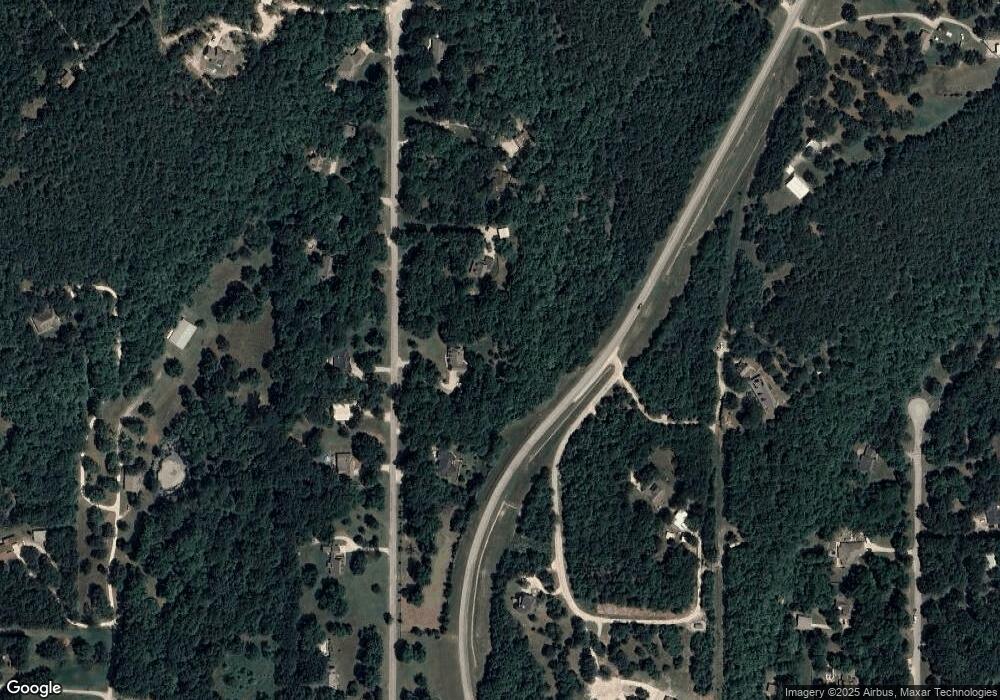
Map
Nearby Homes
- 15524 N 55th West Ave
- 15439 N 55th West Ave
- 5694 W 161st St N
- 15823 Colonial Ln
- 5117 Woodland Dr
- 15971 Munson Ct
- 16561 N 56th West Ave
- 101 N Castle St
- 4 N 52nd West Ave
- 8 N 52nd West Ave
- 3 N 52nd West Ave
- 5 N 52nd West Ave
- 2 N 52nd West Ave
- 5854 W 168th St N
- 0 W Rogers Blvd Unit 2543424
- 103 N Phillips St
- 401 S Buffalo
- 2 N Phillips St
- 1 N Phillips St
- 3 N Phillips St
- 15727 N 55th West Ave
- 15645 N 55th West Ave
- 15777 N 55th West Ave
- 15657 N 55th West Ave
- 15726 N 55th West Ave
- 15776 N 55th West Ave
- 15652 N 55th West Ave
- 15827 N 55th West Ave
- 2 Horizon Dr
- 0 N West Ave Unit 2511573
- 0 N 55th Ave W
- 15590 N 55th West Ave
- 15707 Horizon Dr
- 15822 N 55th West Ave
- 15608 Horizon Dr
- 15630 N 58th West Ave
- 15711 N Javine Hill Rd
- 15729 Horizon Dr
- 1755 55th W
- 2115 N 55th West Ave