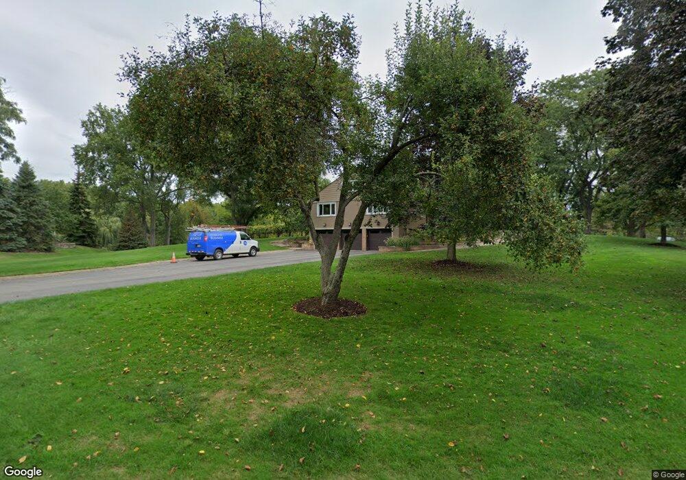
1572 Clarendon Rd Bloomfield Hills, MI 48302
Estimated Value: $986,000 - $1,238,000
3
Beds
4
Baths
3,338
Sq Ft
$321/Sq Ft
Est. Value
About This Home
This home is located at 1572 Clarendon Rd, Bloomfield Hills, MI 48302 and is currently estimated at $1,071,812, approximately $321 per square foot. 1572 Clarendon Rd is a home located in Oakland County with nearby schools including Conant Elementary School, South Hills Middle School, and Bloomfield Hills High School.
Ownership History
Date
Name
Owned For
Owner Type
Purchase Details
Closed on
Nov 28, 2003
Sold by
Mularoni Humbert A and Mularoni Mary Jo
Bought by
Mularoni Humbert A and Mularoni Karen
Current Estimated Value
Purchase Details
Closed on
Oct 23, 2003
Sold by
Mularoni Humbert A and Mularoni Mary Jo
Bought by
Mularoni Humbert A and Mularoni Karen
Purchase Details
Closed on
Dec 30, 2002
Sold by
Mularoni Humbert A and Mularoni Mary Jo
Bought by
Mularoni Humbert A and Mularoni Karen
Create a Home Valuation Report for This Property
The Home Valuation Report is an in-depth analysis detailing your home's value as well as a comparison with similar homes in the area
Home Values in the Area
Average Home Value in this Area
Purchase History
| Date | Buyer | Sale Price | Title Company |
|---|---|---|---|
| Mularoni Humbert A | $200,000 | None Available | |
| Mularoni Humbert A | -- | -- | |
| Mularoni Humbert A | -- | -- |
Source: Public Records
Tax History Compared to Growth
Tax History
| Year | Tax Paid | Tax Assessment Tax Assessment Total Assessment is a certain percentage of the fair market value that is determined by local assessors to be the total taxable value of land and additions on the property. | Land | Improvement |
|---|---|---|---|---|
| 2024 | $7,014 | $522,310 | $0 | $0 |
| 2023 | $6,788 | $498,190 | $0 | $0 |
| 2022 | $12,756 | $472,000 | $0 | $0 |
| 2021 | $12,665 | $472,340 | $0 | $0 |
| 2020 | $6,208 | $468,550 | $0 | $0 |
| 2019 | $11,917 | $457,720 | $0 | $0 |
| 2018 | $11,971 | $449,300 | $0 | $0 |
| 2017 | $11,885 | $437,290 | $0 | $0 |
| 2016 | $11,908 | $429,190 | $0 | $0 |
| 2015 | -- | $366,930 | $0 | $0 |
| 2014 | -- | $297,940 | $0 | $0 |
| 2011 | -- | $321,150 | $0 | $0 |
Source: Public Records
Map
Nearby Homes
- 5148 Crest Knolls Ct
- 5340 Franklin Rd
- 5190 Clarendon Crest St
- 1651 Hoit Tower Dr
- 1715 Lone Pine Rd
- 1462 Sodon Ct
- 5361 Echo Rd
- 4535 Grindley Ct
- 1732 Blair House Ct
- 5611 Priory Ln
- 5100 Kings Gate Way
- 4597 Broughton Dr
- 5008 Kings Gate Way
- 5605 Woodwind Dr
- 5118 Vincennes Ct
- 00 Telegraph Rd
- 0 Telegraph Rd
- 4603 Hedgewood Dr
- 4783 Quarton Rd
- 1907 Raymond Place
- 1584 Clarendon Rd
- 1560 Clarendon Rd
- 1548 Clarendon Rd
- 1598 Clarendon Rd
- 5151 Franklin Rd
- 0000 Clarendon Crest St
- 0 Clarendon Crest St
- 1530 Clarendon Rd
- 1571 Clarendon Rd
- 5105 Franklin Rd
- 5080 Cliffwood Rd
- 1583 Clarendon Rd
- 5153 Clarendon Crest St
- 5180 Franklin Rd
- 1495 Clarendon Rd
- 5230 Franklin Rd
- 5263 Franklin Rd
- 1555 Lone Pine Rd Unit Bldg-Unit
- 1565 Lone Pine Rd
- 5120 Clarendon Crest St Unit Bldg-Unit