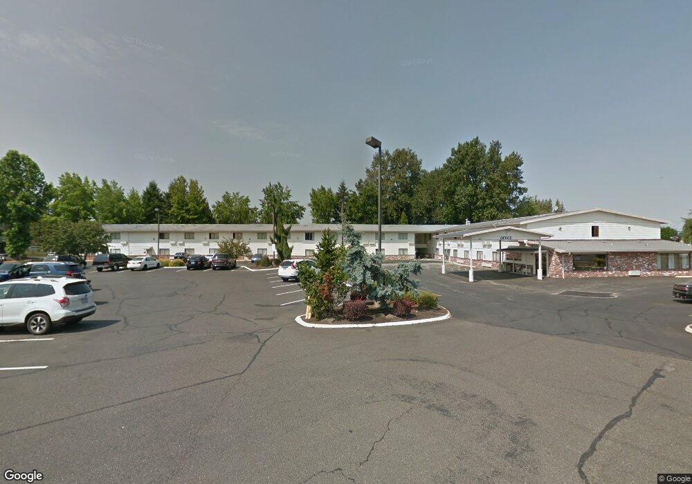
1572 NE Burnside Rd Gresham, OR 97030
Downtown Gresham NeighborhoodEstimated Value: $3,115,261
About This Home
This home is located at 1572 NE Burnside Rd, Gresham, OR 97030 and is currently estimated at $3,115,261, approximately $2,338 per square foot. 1572 NE Burnside Rd is a home located in Multnomah County with nearby schools including Hogan Cedars Elementary School, Dexter McCarty Middle School, and Gresham High School.
Ownership History
We collect this data history from publicly available records. To have your information removed, we recommend requesting removal directly through your county’s website.
Purchase Details
Home Financials for this Owner
Home Financials are based on the most recent Mortgage that was taken out on this home.Purchase Details
Home Financials for this Owner
Home Financials are based on the most recent Mortgage that was taken out on this home.Purchase Details
Purchase Details
Purchase Details
Purchase Details
Purchase Details
Purchase Details
Home Values in the Area
Average Home Value in this Area
Purchase History
We collect this data history from publicly available records. To have your information removed, we recommend requesting removal directly through your county’s website.
| Date | Buyer | Sale Price | Title Company |
|---|---|---|---|
| $2,140,000 | Fatco | ||
| -- | First American | ||
| -- | Accommodation | ||
| -- | None Available | ||
| -- | Pacific Nw Title | ||
| -- | Accommodation | ||
| -- | Accommodation | ||
| -- | -- |
Mortgage History
We collect this data history from publicly available records. To have your information removed, we recommend requesting removal directly through your county’s website.
| Date | Status | Borrower | Loan Amount |
|---|---|---|---|
| Open | $1,605,000 | ||
| Previous Owner | $1,275,000 |
Tax History
We collect this data history from publicly available records. To have your information removed, we recommend requesting removal directly through your county’s website.
| Year | Tax Paid | Tax Assessment Tax Assessment Total Assessment is a certain percentage of the fair market value that is determined by local assessors to be the total taxable value of land and additions on the property. | Land | Improvement |
|---|---|---|---|---|
| 2025 | $32,191 | $1,700,140 | $1,509,280 | $190,860 |
| 2024 | $35,521 | $1,904,740 | $1,509,280 | $395,460 |
| 2023 | $35,968 | $1,919,800 | $0 | $0 |
| 2022 | $34,329 | $1,863,890 | $0 | $0 |
| 2021 | $34,473 | $1,863,890 | $0 | $0 |
| 2020 | $33,376 | $1,863,890 | $0 | $0 |
| 2019 | $31,966 | $1,779,520 | $0 | $0 |
| 2018 | $32,005 | $1,815,840 | $0 | $0 |
| 2017 | $2,570 | $1,476,330 | $0 | $0 |
| 2016 | $21,549 | $1,366,970 | $0 | $0 |
| 2015 | $21,714 | $1,366,970 | $0 | $0 |
Map
- 493 NE Liberty Ave
- 1302 NE Hogan Dr Unit 169
- 1312 NE Hogan Dr Unit 164
- 1322 NE Hogan Dr Unit 159
- 900 NE Francis Ave Unit 63
- 915 NE 4th St
- 1514 NE Hogan Dr Unit 131
- 1546 NE Cleveland Ave Unit 1568
- 1702 NE Hogan Dr
- 110 SE Vista Ave
- 1802 NE Hogan Dr Unit 97
- 745 NE Fleming Ave Unit C22
- 1410 E Powell Blvd
- 579 NE Fleming Ave Unit C41
- 1830 NE Hogan Dr Unit 83
- 4740 SE 2nd St
- 4764 SE 2nd St
- 1926 NE Vista Ave
- 618 NE Fleming Ave Unit B59
- 200 SE Evelyn Ave
- 1520 NE 8th St
- 1220 NE Division St
- 1500 NE Division St
- 16709 NE Burnside Rd
- 1201 NE 8th St
- 1080 NE 8th St
- 1024 NE Division St
- 919 NE Hogan Dr
- 877 NE Hogan Dr
- 1121 NE Division St
- 710 NE Cleveland Ave
- 530 NE Liberty Ave
- 1241 NE 6th St
- 1060 NE Cleveland Ave
- 1645 NE Division St
- 434 NE Liberty Ave
- 547 NE Liberty Ave
- 547 NE Liberty Ave Unit 69
- 531 NE Liberty Ave
- 531 NE Liberty Ave Unit 70
Ask me questions while you tour the home.