15721 S 91st West Ave Sapulpa, OK 74066
Estimated Value: $392,000 - $561,000
3
Beds
2
Baths
2,095
Sq Ft
$224/Sq Ft
Est. Value
About This Home
This home is located at 15721 S 91st West Ave, Sapulpa, OK 74066 and is currently estimated at $469,273, approximately $223 per square foot. 15721 S 91st West Ave is a home located in Creek County with nearby schools including Lone Star Public School.
Ownership History
Date
Name
Owned For
Owner Type
Purchase Details
Closed on
Sep 10, 2014
Sold by
Waggoner John L and Waggoner Barbara L
Bought by
Anderson Cynthia D and Anderson Michael E
Current Estimated Value
Home Financials for this Owner
Home Financials are based on the most recent Mortgage that was taken out on this home.
Original Mortgage
$238,119
Outstanding Balance
$181,836
Interest Rate
4.15%
Mortgage Type
FHA
Estimated Equity
$287,437
Purchase Details
Closed on
Jul 11, 2002
Sold by
Cbf Sales Inc
Create a Home Valuation Report for This Property
The Home Valuation Report is an in-depth analysis detailing your home's value as well as a comparison with similar homes in the area
Home Values in the Area
Average Home Value in this Area
Purchase History
| Date | Buyer | Sale Price | Title Company |
|---|---|---|---|
| Anderson Cynthia D | $240,000 | American Abstract And Title | |
| -- | $40,000 | -- |
Source: Public Records
Mortgage History
| Date | Status | Borrower | Loan Amount |
|---|---|---|---|
| Open | Anderson Cynthia D | $238,119 |
Source: Public Records
Tax History Compared to Growth
Tax History
| Year | Tax Paid | Tax Assessment Tax Assessment Total Assessment is a certain percentage of the fair market value that is determined by local assessors to be the total taxable value of land and additions on the property. | Land | Improvement |
|---|---|---|---|---|
| 2025 | $3,544 | $40,100 | $5,004 | $35,096 |
| 2024 | $3,322 | $38,932 | $5,004 | $33,928 |
| 2023 | $3,322 | $37,798 | $5,004 | $32,794 |
| 2022 | $3,249 | $36,697 | $5,004 | $31,693 |
| 2021 | $2,769 | $31,370 | $5,004 | $26,366 |
| 2020 | $3,256 | $30,457 | $5,004 | $25,453 |
| 2019 | $2,654 | $29,570 | $5,004 | $24,566 |
| 2018 | $2,600 | $28,708 | $5,004 | $23,704 |
| 2017 | $2,644 | $28,708 | $5,004 | $23,704 |
| 2016 | $2,687 | $28,708 | $5,004 | $23,704 |
| 2015 | -- | $28,708 | $5,004 | $23,704 |
| 2014 | -- | $21,747 | $4,772 | $16,975 |
Source: Public Records
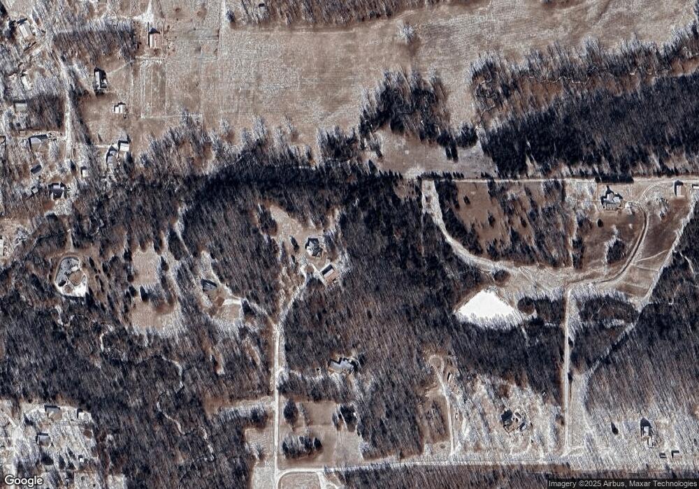
Map
Nearby Homes
- 15116 S 90th West Ave
- 8850 W 151st St S
- 16042 S 97th West Ave
- 10616 W Houston St
- 8801 S Ridgeview Dr
- 341 N Main St
- 114 W 165th St S
- 0 W 161st St S Unit 2540488
- 311 E Indiana
- 13623 S 97th Ave W
- 112 Stark St
- 33 Mary
- 8 Ryan Place
- 9467 W 181st St S
- 103 E Fairlane Ct
- 6490 Lindsay Dr
- 2600 S Hickory St
- 19 E Fairlane Ct
- 18240 S 80th West Ave
- 18021 S 71st West Ave
- 15720 S 91st West Ave
- 15797 S 91st West Ave
- 15589 S Bruce Ave
- 15589 Bruce Ave
- 8811 W Southfork Rd
- 9010 W Southfork Rd
- 15605 Bruce Ave
- 15505 Bruce Ave
- 15580 Bruce Ave
- 15721 S 87th West Ave
- 15588 Bruce Ave
- 15811 S Mission St
- 15257 S 87th West Ave
- 9329 W Southfork Rd
- 15815 S Mission St
- 15508 Bruce Ave
- 15545 S Lasiter Ave
- 15411 Foreacre Cir
- 15553 S Lasiter Ave
- 9349 W Southfork Rd