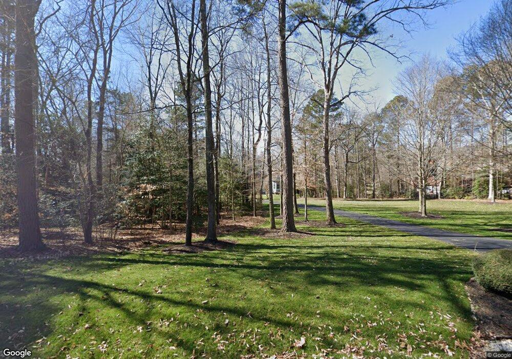
15725 Chesdin Point Dr Chesterfield, VA 23838
South Chesterfield County NeighborhoodEstimated Value: $1,032,000 - $1,134,468
4
Beds
5
Baths
4,004
Sq Ft
$274/Sq Ft
Est. Value
About This Home
This home is located at 15725 Chesdin Point Dr, Chesterfield, VA 23838 and is currently estimated at $1,096,489, approximately $273 per square foot. 15725 Chesdin Point Dr is a home located in Chesterfield County with nearby schools including Matoaca Elementary School, Matoaca Middle School, and Matoaca High School.
Ownership History
Date
Name
Owned For
Owner Type
Purchase Details
Closed on
May 2, 2001
Bought by
Wilson Scott P and Wilson Kathleen M
Current Estimated Value
Home Financials for this Owner
Home Financials are based on the most recent Mortgage that was taken out on this home.
Original Mortgage
$473,250
Outstanding Balance
$174,355
Interest Rate
6.85%
Mortgage Type
New Conventional
Estimated Equity
$922,134
Create a Home Valuation Report for This Property
The Home Valuation Report is an in-depth analysis detailing your home's value as well as a comparison with similar homes in the area
Home Values in the Area
Average Home Value in this Area
Purchase History
| Date | Buyer | Sale Price | Title Company |
|---|---|---|---|
| Wilson Scott P | -- | -- |
Source: Public Records
Mortgage History
| Date | Status | Borrower | Loan Amount |
|---|---|---|---|
| Open | Wilson Scott P | $473,250 |
Source: Public Records
Tax History Compared to Growth
Tax History
| Year | Tax Paid | Tax Assessment Tax Assessment Total Assessment is a certain percentage of the fair market value that is determined by local assessors to be the total taxable value of land and additions on the property. | Land | Improvement |
|---|---|---|---|---|
| 2025 | $9,662 | $1,082,800 | $365,000 | $717,800 |
| 2024 | $9,662 | $998,300 | $342,500 | $655,800 |
| 2023 | $8,827 | $970,000 | $342,500 | $627,500 |
| 2022 | $8,499 | $923,800 | $342,100 | $581,700 |
| 2021 | $8,499 | $892,000 | $342,100 | $549,900 |
| 2020 | $8,305 | $874,200 | $342,100 | $532,100 |
| 2019 | $8,258 | $869,300 | $342,000 | $527,300 |
| 2018 | $8,285 | $879,500 | $360,000 | $519,500 |
| 2017 | $8,235 | $857,800 | $360,000 | $497,800 |
| 2016 | $8,451 | $880,300 | $382,500 | $497,800 |
| 2015 | $8,476 | $880,300 | $382,500 | $497,800 |
| 2014 | $8,476 | $880,300 | $382,500 | $497,800 |
Source: Public Records
Map
Nearby Homes
- 15506 Chesdin Landing Ct
- 0 Chesdin Pointe Dr
- XX Even Keel Ln
- 12524 Chesdin Crossing Dr
- 13401 Drake Mallard Ct
- 13337 Drake Mallard Place
- 11801 Chesdin Bluff Terrace
- 13418 Pungo Terrace
- 13406 Drake Mallard Ct
- 15401 Isle Pines Dr
- 13454 Drake Mallard Ct
- 15818 Chesdin Bluff Dr
- 13501 Blue Heron Cir
- 14811 N Ivey Mill Rd
- 15624 Corte Castle Terrace
- 11312 Corte Castle Rd
- 11965 River Rd
- 13601 Bundle Rd
- 2516 Miry Run Rd
- 1600 Namozine Rd
- 15731 Chesdin Point Dr
- 15719 Chesdin Point Dr
- 15737 Chesdin Point Dr
- 15712 Chesdin Point Dr
- 15730 Chesdin Point Dr
- 15631 Chesdin Landing Terrace
- 15713 Chesdin Point Dr
- 15736 Chesdin Point Dr
- 15642 Chesdin Landing Terrace
- 15619 Chesdin Landing Terrace
- 15743 Chesdin Point Dr
- 15707 Chesdin Point Dr
- 15700 Chesdin Point Dr
- 15742 Chesdin Point Dr
- 15636 Chesdin Landing Terrace
- 15606 Chesdin Point Dr
- 15630 Chesdin Landing Terrace
- 15613 Chesdin Landing Terrace
- 15600 Chesdin Point Dr
- 13001 Chesdin Landing Dr
