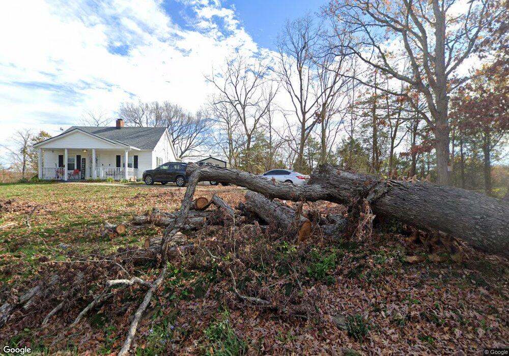
1573 Bryant Benson Rd Frankfort, KY 40601
Estimated Value: $196,000 - $367,006
3
Beds
3
Baths
1,602
Sq Ft
$184/Sq Ft
Est. Value
About This Home
This home is located at 1573 Bryant Benson Rd, Frankfort, KY 40601 and is currently estimated at $294,252, approximately $183 per square foot. 1573 Bryant Benson Rd is a home located in Franklin County with nearby schools including Westridge Elementary School, Bondurant Middle School, and Western Hills High School.
Ownership History
Date
Name
Owned For
Owner Type
Purchase Details
Closed on
Oct 28, 2015
Sold by
Commonwealth Bank & Trust Co
Bought by
Engler Darrell D and Engler Kimberly J
Current Estimated Value
Home Financials for this Owner
Home Financials are based on the most recent Mortgage that was taken out on this home.
Original Mortgage
$157,054
Outstanding Balance
$126,428
Interest Rate
4.5%
Mortgage Type
FHA
Estimated Equity
$167,824
Purchase Details
Closed on
Apr 9, 2014
Sold by
Barnett Christina
Bought by
Commonwealth Bank & Trust Company
Purchase Details
Closed on
Jan 30, 2008
Sold by
Durr Brad and Durr Melissa
Bought by
White Howard
Create a Home Valuation Report for This Property
The Home Valuation Report is an in-depth analysis detailing your home's value as well as a comparison with similar homes in the area
Home Values in the Area
Average Home Value in this Area
Purchase History
| Date | Buyer | Sale Price | Title Company |
|---|---|---|---|
| Engler Darrell D | $125,000 | Capital Title Llc | |
| Commonwealth Bank & Trust Company | $113,700 | Attorney | |
| White Howard | $170,000 | -- |
Source: Public Records
Mortgage History
| Date | Status | Borrower | Loan Amount |
|---|---|---|---|
| Open | Engler Darrell D | $157,054 |
Source: Public Records
Tax History Compared to Growth
Tax History
| Year | Tax Paid | Tax Assessment Tax Assessment Total Assessment is a certain percentage of the fair market value that is determined by local assessors to be the total taxable value of land and additions on the property. | Land | Improvement |
|---|---|---|---|---|
| 2024 | $1,349 | $111,803 | $0 | $0 |
| 2023 | $1,336 | $111,803 | $0 | $0 |
| 2022 | $1,324 | $111,803 | $0 | $0 |
| 2021 | $1,313 | $111,803 | $0 | $0 |
| 2020 | $1,325 | $111,803 | $11,803 | $100,000 |
| 2019 | $1,226 | $101,361 | $10,861 | $90,500 |
| 2018 | $1,223 | $101,361 | $10,861 | $90,500 |
| 2017 | -- | $98,032 | $7,532 | $90,500 |
| 2016 | $1,118 | $98,032 | $7,532 | $90,500 |
| 2015 | $1,393 | $139,532 | $7,532 | $132,000 |
| 2011 | $1,393 | $139,532 | $7,532 | $132,000 |
Source: Public Records
Map
Nearby Homes
- 4505 Saint Johns Rd
- 5021 Saint Johns Rd
- 510 Saint Johns Rd
- 6365 Bald Knob Rd
- 132 Harvieland Rd
- 0 Beechridge Rd
- 00A Beechridge Rd
- 512 Beechridge Rd
- 13755 Bald Knob Rd
- 814 Clifton Dr
- 12 Vigo Rd
- 1808 Memory Ln
- 948 Pea Ridge Rd
- 4725 Bald Knob Rd
- 40 Lock View Dr
- 221 Signal Ridge Rd
- 226 Signal Ridge Rd
- 12 Still Water Ct
- 22 Harmony Landing Ct
- 515 Pierce Ln
- 1720 Bryant Benson Rd
- 1610 Bryant-Benson Rd
- 1641 Bryant Benson Rd
- 1826 Bryant Benson Rd
- 1892 Bryant Benson Rd
- 1510 Bryant Benson Rd
- 1562 Bryant Benson Rd
- 1856 Bryant Benson Rd
- 29 Smoot Rd
- 1532 Bryant Benson Rd
- 1800 Bryant Benson Rd
- 1522 Bryant Benson Rd
- 1392 Bryant Benson Rd
- 200 Smoot Rd
- 1906 Bryant Benson Rd
- 1946 Bryant Benson Rd
- 259 Smoot Rd
- 1970 Bryant Benson Rd
- 2825 Saint Johns Rd
- 1988 Bryant Benson Rd