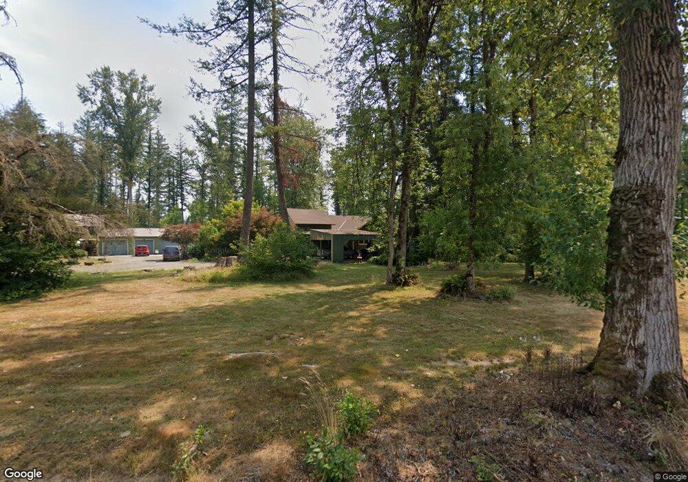
15730 S Gilchrist Rd Mulino, OR 97042
Estimated Value: $698,845 - $890,000
3
Beds
2
Baths
2,280
Sq Ft
$358/Sq Ft
Est. Value
About This Home
This home is located at 15730 S Gilchrist Rd, Mulino, OR 97042 and is currently estimated at $815,711, approximately $357 per square foot. 15730 S Gilchrist Rd is a home located in Clackamas County with nearby schools including Country Christian School.
Ownership History
Date
Name
Owned For
Owner Type
Purchase Details
Closed on
Apr 10, 2020
Sold by
Elliott Carol W
Bought by
Elliott Kentt A
Current Estimated Value
Purchase Details
Closed on
Nov 3, 2005
Sold by
Stickney Donald B and Linda Stickney K
Bought by
Elliott Kentt A and Elliott Carol W
Home Financials for this Owner
Home Financials are based on the most recent Mortgage that was taken out on this home.
Original Mortgage
$303,864
Interest Rate
5.74%
Mortgage Type
Fannie Mae Freddie Mac
Purchase Details
Closed on
Mar 11, 1999
Sold by
Larsen Peter G and Larsen Janet M
Bought by
Stickney Donald B and Linda Stickney K
Home Financials for this Owner
Home Financials are based on the most recent Mortgage that was taken out on this home.
Original Mortgage
$100,000
Interest Rate
6.7%
Create a Home Valuation Report for This Property
The Home Valuation Report is an in-depth analysis detailing your home's value as well as a comparison with similar homes in the area
Home Values in the Area
Average Home Value in this Area
Purchase History
| Date | Buyer | Sale Price | Title Company |
|---|---|---|---|
| Elliott Kentt A | $70,000 | None Available | |
| Elliott Kentt A | $379,830 | Ticor Title Insurance Compan | |
| Stickney Donald B | $245,000 | First American Title Co |
Source: Public Records
Mortgage History
| Date | Status | Borrower | Loan Amount |
|---|---|---|---|
| Previous Owner | Elliott Kentt A | $303,864 | |
| Previous Owner | Stickney Donald B | $100,000 |
Source: Public Records
Tax History Compared to Growth
Tax History
| Year | Tax Paid | Tax Assessment Tax Assessment Total Assessment is a certain percentage of the fair market value that is determined by local assessors to be the total taxable value of land and additions on the property. | Land | Improvement |
|---|---|---|---|---|
| 2025 | $3,654 | $264,283 | -- | -- |
| 2024 | $3,149 | $228,514 | -- | -- |
| 2023 | $3,149 | $221,859 | $0 | $0 |
| 2022 | $2,640 | $215,397 | $0 | $0 |
| 2021 | $2,523 | $209,123 | $0 | $0 |
| 2020 | $2,455 | $203,033 | $0 | $0 |
| 2019 | $2,386 | $197,121 | $0 | $0 |
| 2018 | $2,322 | $191,380 | $0 | $0 |
| 2017 | $2,196 | $185,805 | $0 | $0 |
| 2016 | $2,064 | $180,395 | $0 | $0 |
| 2015 | $2,007 | $175,137 | $0 | $0 |
| 2014 | $1,944 | $170,039 | $0 | $0 |
Source: Public Records
Map
Nearby Homes
- 15441 S Union Mills Rd
- 28381 S Salo Rd
- 14001 S Union Mills Rd
- 16428 S Buckner Creek Rd
- 28502 S Highway 213
- 28502 Oregon 213
- 13920 S Lucia Ln
- 15693 S Hidden Rd
- 0000 S Buckner Creek Rd
- 26250 S Milk Creek Cir
- 15047 S MacKsburg Rd
- 16290 S Riverview Rd
- 29555 S Beavercreek Rd
- 14980 S Buckner Creek Rd
- 15706 S Highway 211
- 26740 S Fish Rd
- 13511 S Freeman Rd
- 26684 S Fish Rd
- 26394 S Gard Rd
- 29891 S Highway 213
- 15738 S Gilchrist Rd
- 15767 S Gilchrist Rd
- 15913 S Windy City Rd
- 15741 S Gilchrist Rd
- 15833 S Windy City Rd
- 15721 S Gilchrist Rd
- 15804 S Windy City Rd
- 15884 S Windy City Rd
- 15661 S Gilchrist Rd
- 15731 S Gilchrist Rd
- 15761 S Gilchrist Rd
- 15934 S Windy City Rd
- 15964 S Windy City Rd
- 15774 S Windy City Rd
- 15601 S Gilchrist Rd
- 15983 S Windy City Rd
- 15755 S Gilchrist Rd
- 15955 S Windy City Rd
- 16023 S Windy City Rd
- 15768 S Windy City Rd