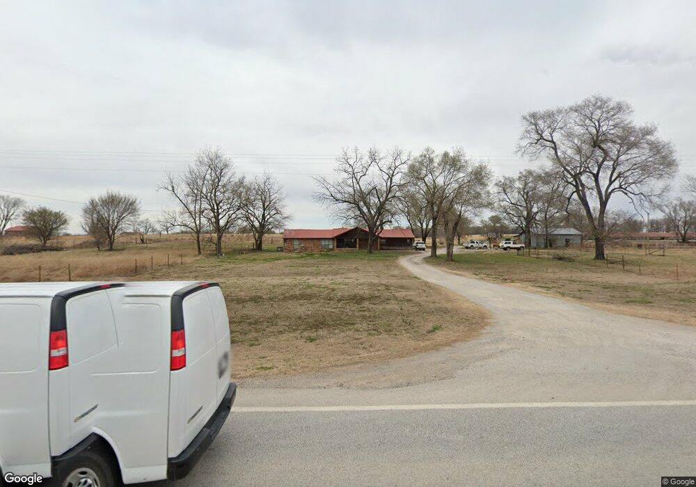
15732 W Highway 12 Gentry, AR 72734
Estimated Value: $377,000 - $672,368
--
Bed
3
Baths
3,485
Sq Ft
$149/Sq Ft
Est. Value
About This Home
This home is located at 15732 W Highway 12, Gentry, AR 72734 and is currently estimated at $520,592, approximately $149 per square foot. 15732 W Highway 12 is a home located in Benton County with nearby schools including Gentry Intermediate School, Gentry Primary School, and Gentry Middle School.
Ownership History
Date
Name
Owned For
Owner Type
Purchase Details
Closed on
May 13, 2021
Sold by
Whitten Richard E and Whitten Robin L
Bought by
Young Robert and Young Tiauna
Current Estimated Value
Home Financials for this Owner
Home Financials are based on the most recent Mortgage that was taken out on this home.
Original Mortgage
$408,000
Outstanding Balance
$369,750
Interest Rate
3.1%
Mortgage Type
Commercial
Estimated Equity
$150,842
Purchase Details
Closed on
Aug 31, 1995
Bought by
Reams
Purchase Details
Closed on
Aug 9, 1988
Bought by
Linker
Purchase Details
Closed on
Mar 14, 1985
Bought by
Ransom
Purchase Details
Closed on
Feb 21, 1985
Bought by
Sullivan
Create a Home Valuation Report for This Property
The Home Valuation Report is an in-depth analysis detailing your home's value as well as a comparison with similar homes in the area
Home Values in the Area
Average Home Value in this Area
Purchase History
| Date | Buyer | Sale Price | Title Company |
|---|---|---|---|
| Young Robert | $150,000 | None Listed On Document | |
| Reams | $265,000 | -- | |
| Linker | $220,000 | -- | |
| Ransom | -- | -- | |
| Sullivan | -- | -- |
Source: Public Records
Mortgage History
| Date | Status | Borrower | Loan Amount |
|---|---|---|---|
| Open | Young Robert | $408,000 |
Source: Public Records
Tax History Compared to Growth
Tax History
| Year | Tax Paid | Tax Assessment Tax Assessment Total Assessment is a certain percentage of the fair market value that is determined by local assessors to be the total taxable value of land and additions on the property. | Land | Improvement |
|---|---|---|---|---|
| 2025 | $2,711 | $90,175 | $16,102 | $74,073 |
| 2024 | $2,563 | $90,175 | $16,102 | $74,073 |
| 2023 | $1,766 | $42,580 | $6,360 | $36,220 |
| 2022 | $1,426 | $42,580 | $6,360 | $36,220 |
| 2021 | $1,344 | $42,580 | $6,360 | $36,220 |
| 2020 | $1,262 | $30,820 | $4,930 | $25,890 |
| 2019 | $1,262 | $30,820 | $4,930 | $25,890 |
| 2018 | $1,287 | $30,820 | $4,930 | $25,890 |
| 2017 | $1,246 | $30,820 | $4,930 | $25,890 |
| 2016 | $1,246 | $30,820 | $4,930 | $25,890 |
| 2015 | $1,428 | $28,560 | $3,420 | $25,140 |
| 2014 | $1,078 | $28,560 | $3,420 | $25,140 |
Source: Public Records
Map
Nearby Homes
- 15670 Malone Rd
- TBD Lot 2 The Preserve
- TBD Lot 4 The Preserve
- 12713 S Pleasant Valley Rd
- Lots 2, 3, 9 & 10 Snyder Estates Rurban Phase 3
- 9300 S Pleasant Valley Rd
- 9236 S Pleasant Valley Rd
- 9112 S Pleasant Valley Rd
- 9124 S Pleasant Valley Rd
- 405 NW Pinwheel St
- 407 NW Pinwheel St
- 0 Katie Ln
- 12502 Hamilton Dr
- 1257 NW Malone Rd
- 13150 S Pleasant Valley Rd
- Lot 3 Digby Dr
- Lot 2 Digby Dr
- Lot 1 Digby Dr
- 9307 Digby Dr
- 796 NW Holland Ave
- 11987 Roupe Rd
- 15795 W Highway 12
- 15595 W Highway 12
- 15815 W Highway 12
- 126 SW Vanessa St
- 122 SW Vanessa St
- 124 Watts Ave
- 118 SW Vanessa St
- 112 Watts Ave
- 104 Watts Ave
- 116 Watts Ave
- 108 Watts Ave
- 100 Watts Ave
- 823 Saddlebrook St
- 827 Saddlebrook St
- 15888 Stave Ct
- 12098 Bald Eagle Dr
- 12098 Bald Eagle Dr
- 15897 Stave Ct
- 11791 Roupe Rd