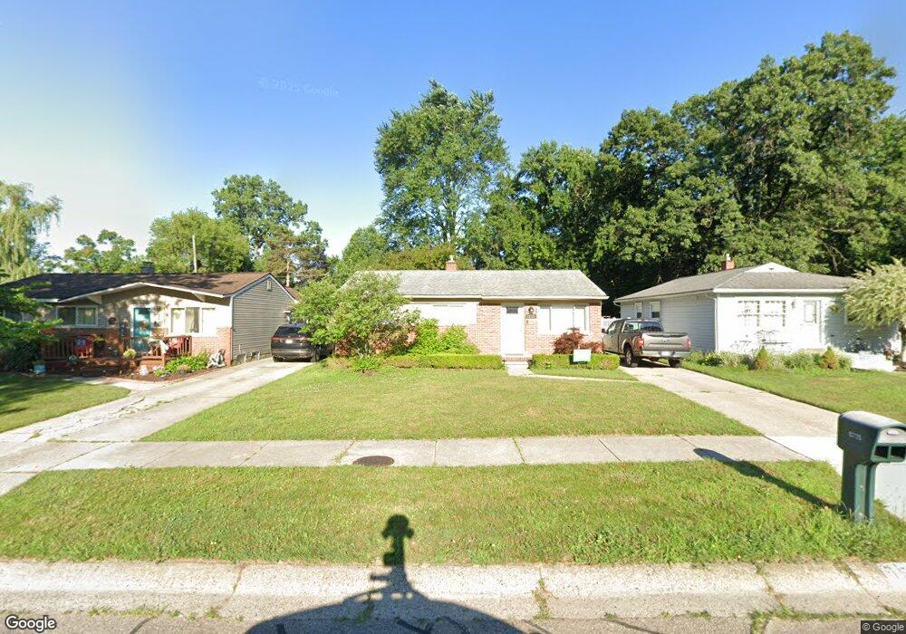
15735 Green Lane Ave Livonia, MI 48154
Estimated Value: $206,000 - $242,000
3
Beds
2
Baths
943
Sq Ft
$241/Sq Ft
Est. Value
About This Home
This home is located at 15735 Green Lane Ave, Livonia, MI 48154 and is currently estimated at $226,923, approximately $240 per square foot. 15735 Green Lane Ave is a home located in Wayne County with nearby schools including Riley Upper Elementary School, Buchanan Elementary School, and Holmes Middle School.
Ownership History
Date
Name
Owned For
Owner Type
Purchase Details
Closed on
Oct 19, 2021
Sold by
Leja Bryan
Bought by
Leja Mark K
Current Estimated Value
Home Financials for this Owner
Home Financials are based on the most recent Mortgage that was taken out on this home.
Original Mortgage
$145,700
Outstanding Balance
$132,865
Interest Rate
2.8%
Mortgage Type
New Conventional
Estimated Equity
$94,058
Purchase Details
Closed on
Mar 29, 2019
Sold by
Lindgren David and Lindgren Irene A
Bought by
Leja Bryan
Create a Home Valuation Report for This Property
The Home Valuation Report is an in-depth analysis detailing your home's value as well as a comparison with similar homes in the area
Home Values in the Area
Average Home Value in this Area
Purchase History
| Date | Buyer | Sale Price | Title Company |
|---|---|---|---|
| Leja Mark K | $155,000 | None Available | |
| Leja Bryan | $119,000 | None Available |
Source: Public Records
Mortgage History
| Date | Status | Borrower | Loan Amount |
|---|---|---|---|
| Open | Leja Mark K | $145,700 |
Source: Public Records
Tax History Compared to Growth
Tax History
| Year | Tax Paid | Tax Assessment Tax Assessment Total Assessment is a certain percentage of the fair market value that is determined by local assessors to be the total taxable value of land and additions on the property. | Land | Improvement |
|---|---|---|---|---|
| 2025 | $1,787 | $102,800 | $0 | $0 |
| 2024 | $1,787 | $95,100 | $0 | $0 |
| 2023 | $1,705 | $85,600 | $0 | $0 |
| 2022 | $2,994 | $77,700 | $0 | $0 |
| 2021 | $2,908 | $74,200 | $0 | $0 |
| 2019 | $1,779 | $62,800 | $0 | $0 |
| 2018 | $919 | $56,100 | $0 | $0 |
| 2017 | $1,627 | $54,400 | $0 | $0 |
| 2016 | $1,470 | $53,700 | $0 | $0 |
| 2015 | $3,559 | $45,540 | $0 | $0 |
| 2012 | -- | $34,480 | $13,250 | $21,230 |
Source: Public Records
Map
Nearby Homes
- 27416 Sunnydale St
- 15681 Foch St
- 27480 5 Mile Rd
- 15660 Meadowbrook Rd
- 27510 Five Mile Rd
- 14920 Taylor Blvd
- 14907 Taylor Blvd
- 14844 Inkster Rd
- 28692 Bayberry Park Dr
- 15988 Delaware Ave
- 27674 Western Golf Dr
- 27030 W 6 Mile Rd
- 27427 Vargo St
- 26610 W 6 Mile Rd
- 15433 Norborne
- 14328 Brook Dr
- 15389 Centralia
- 15608 Hidden Ln
- 16632 Norborne
- 18001 Floral St
- MILFORD Green Lane Ave
- 15745 Green Lane Ave
- 15725 Green Lane Ave
- 15715 Green Lane Ave
- 15775 Green Lane Ave
- 15828 Foch St
- 15836 Foch St
- 15701 Green Lane Ave
- 15812 Foch St
- 15840 Foch St
- 15805 Green Lane Ave
- 15724 Green Lane Ave
- 15760 Green Lane Ave Unit Bldg-Unit
- 15760 Green Lane Ave
- 15708 Green Lane Ave
- 15675 Green Lane Ave
- 15852 Foch St
- 15740 Green Lane Ave
- 15825 Green Lane Ave
- 15786 Green Lane Ave