15739 Nixon Rd Mount Vernon, OH 43050
Estimated Value: $427,000 - $444,000
3
Beds
3
Baths
1,984
Sq Ft
$219/Sq Ft
Est. Value
About This Home
This home is located at 15739 Nixon Rd, Mount Vernon, OH 43050 and is currently estimated at $434,511, approximately $219 per square foot. 15739 Nixon Rd is a home located in Knox County with nearby schools including Utica High School.
Ownership History
Date
Name
Owned For
Owner Type
Purchase Details
Closed on
Oct 9, 2020
Sold by
Davis Steven L
Bought by
Davis Elizabeth M
Current Estimated Value
Purchase Details
Closed on
Sep 18, 2013
Sold by
Davis Steven L and Davis Garnet F
Bought by
Davis Steven L and Davis Elizabeth M
Purchase Details
Closed on
May 1, 2001
Sold by
Porter Steve and Porter Peggy
Bought by
Davis Steven L and Davis Richard
Purchase Details
Closed on
Feb 1, 2001
Bought by
Porter Steve and Porter Peggy
Purchase Details
Closed on
Apr 24, 2000
Bought by
Centofanti Iris J Trustee
Create a Home Valuation Report for This Property
The Home Valuation Report is an in-depth analysis detailing your home's value as well as a comparison with similar homes in the area
Home Values in the Area
Average Home Value in this Area
Purchase History
| Date | Buyer | Sale Price | Title Company |
|---|---|---|---|
| Davis Elizabeth M | -- | None Available | |
| Davis Steven L | -- | None Available | |
| Davis Steven L | $129,000 | -- | |
| Porter Steve | $18,900 | -- | |
| Centofanti Iris J Trustee | -- | -- |
Source: Public Records
Tax History Compared to Growth
Tax History
| Year | Tax Paid | Tax Assessment Tax Assessment Total Assessment is a certain percentage of the fair market value that is determined by local assessors to be the total taxable value of land and additions on the property. | Land | Improvement |
|---|---|---|---|---|
| 2024 | $3,463 | $108,900 | $16,630 | $92,270 |
| 2023 | $3,463 | $108,900 | $16,630 | $92,270 |
| 2022 | $2,735 | $75,110 | $11,470 | $63,640 |
| 2021 | $2,735 | $75,110 | $11,470 | $63,640 |
| 2020 | $2,687 | $75,110 | $11,470 | $63,640 |
| 2019 | $2,306 | $61,140 | $11,810 | $49,330 |
| 2018 | $2,320 | $61,140 | $11,810 | $49,330 |
| 2017 | $2,313 | $61,140 | $11,810 | $49,330 |
| 2016 | $2,127 | $56,620 | $10,940 | $45,680 |
| 2015 | $2,106 | $56,620 | $10,940 | $45,680 |
| 2014 | $2,073 | $56,620 | $10,940 | $45,680 |
| 2013 | $2,002 | $52,990 | $10,890 | $42,100 |
Source: Public Records
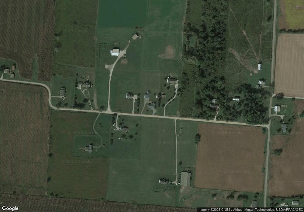
Map
Nearby Homes
- 2800 Weaver Rd
- 4380 Weaver Rd
- 4965 Newark Rd
- 5366 Granville Rd
- 5555 Granville Rd
- 13062 Fosdyke Rd
- 6520 Newark Rd
- 1106 Homer Rd NW
- 1393 Ohio 13
- 1405 Ohio 13
- 6761 Granville Rd
- 7084 Newark Rd
- 44 Maple Ave
- 523 North St
- 500 North St Unit LOT 29
- 13944 Lafayette Rd
- 7503 Rangeline Rd
- 17051 Murray Rd
- 307 Spring St
- 4136 Johnstown Utica Rd NE
- 15699 Nixon Rd
- 15700 Nixon Rd
- 15881 Nixon Rd
- 15515 Nixon Rd
- 15810 Nixon Rd
- 0 Nixon Rd Unit LOT 6 2030154
- 0 Nixon Rd Unit LOT 3 2030151
- 0 Nixon Rd Unit LOT 7 2030155
- 0 Nixon Rd Unit LOT 2 2030150
- 0 Nixon Rd Unit LOT5 2030153
- 0 Nixon Rd Unit LOT8 2030156
- 0 Nixon Rd Unit LOT1
- 0 Nixon Rd Unit LOT4
- 3715 Rangeline Rd
- 3626 Rangeline Rd
- 3490 Rangeline Rd
- 3475 Range Line Rd
- 3475 Rangeline Rd
- 3267 Range Line Rd
- 3460 Weaver Rd