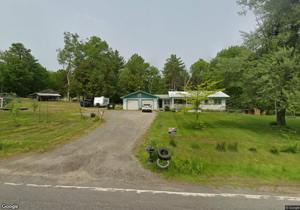
1574 Main St Bowdoin, ME 04287
Estimated Value: $361,000 - $428,000
1
Bed
1
Bath
1,744
Sq Ft
$229/Sq Ft
Est. Value
About This Home
This home is located at 1574 Main St, Bowdoin, ME 04287 and is currently estimated at $400,235, approximately $229 per square foot. 1574 Main St is a home with nearby schools including Mt Ararat High School.
Ownership History
Date
Name
Owned For
Owner Type
Purchase Details
Closed on
Jun 6, 2018
Sold by
Skelton Sherry L and Duchesne Donna L
Bought by
Reed Janasa D
Current Estimated Value
Home Financials for this Owner
Home Financials are based on the most recent Mortgage that was taken out on this home.
Original Mortgage
$85,000
Interest Rate
4.5%
Mortgage Type
New Conventional
Purchase Details
Closed on
Apr 17, 2018
Sold by
Skelton Grace Ann Est
Bought by
Skelton Sherry L
Home Financials for this Owner
Home Financials are based on the most recent Mortgage that was taken out on this home.
Original Mortgage
$85,000
Interest Rate
4.5%
Mortgage Type
New Conventional
Create a Home Valuation Report for This Property
The Home Valuation Report is an in-depth analysis detailing your home's value as well as a comparison with similar homes in the area
Home Values in the Area
Average Home Value in this Area
Purchase History
| Date | Buyer | Sale Price | Title Company |
|---|---|---|---|
| Reed Janasa D | -- | -- | |
| Skelton Sherry L | -- | -- | |
| Duchesne Donna L | -- | -- |
Source: Public Records
Mortgage History
| Date | Status | Borrower | Loan Amount |
|---|---|---|---|
| Previous Owner | Reed Janasa D | $85,000 |
Source: Public Records
Tax History Compared to Growth
Tax History
| Year | Tax Paid | Tax Assessment Tax Assessment Total Assessment is a certain percentage of the fair market value that is determined by local assessors to be the total taxable value of land and additions on the property. | Land | Improvement |
|---|---|---|---|---|
| 2024 | $3,623 | $373,500 | $89,000 | $284,500 |
| 2023 | $3,185 | $175,000 | $48,400 | $126,600 |
| 2022 | $3,110 | $184,010 | $48,420 | $135,590 |
| 2021 | $3,204 | $193,030 | $48,420 | $144,610 |
| 2020 | $3,008 | $188,020 | $48,420 | $139,600 |
| 2019 | $2,971 | $188,020 | $48,420 | $139,600 |
| 2018 | $2,973 | $196,920 | $57,320 | $139,600 |
| 2017 | $3,629 | $241,940 | $97,320 | $144,620 |
| 2016 | $3,557 | $241,940 | $97,320 | $144,620 |
| 2015 | $3,532 | $241,940 | $97,320 | $144,620 |
| 2014 | $3,286 | $236,420 | $91,800 | $144,620 |
| 2013 | $3,073 | $236,420 | $91,800 | $144,620 |
Source: Public Records
Map
Nearby Homes
- 175 Main St
- 1239 Main St
- 51 Mountain View Cir
- 45A-A Hornbeck Cross
- 83 Hemlock Hill Ln
- 338 Lewis Hill Rd
- 64 Litchfield Rd
- 8 Lucas Ln
- 47 Bradstreet Dr
- 744 Ridge Rd
- TBD Dingley Rd
- 0 White Rd
- Lot 08 Sara's Way
- 428 Cathance Rd
- 143 White Rd
- 1116 Post Rd
- 1146 Post Rd
- 549 Litchfield Rd
- 75 Adams Landing Rd
- 438 Meadow Rd