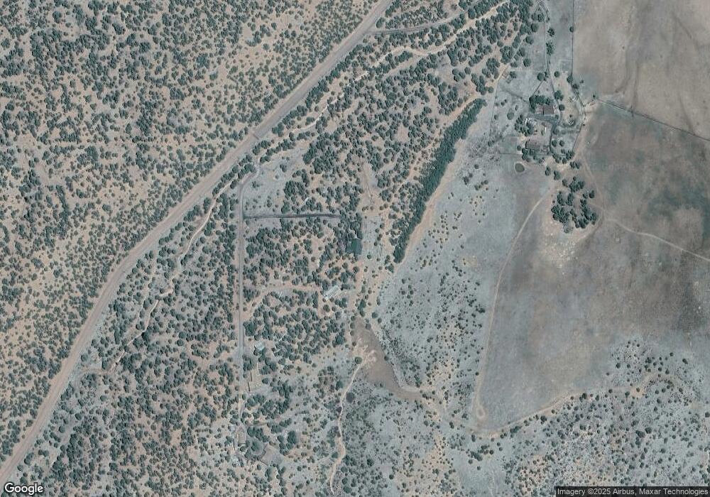
1575 Dead End Dr Show Low, AZ 85901
Estimated Value: $534,082 - $649,000
--
Bed
--
Bath
1,764
Sq Ft
$334/Sq Ft
Est. Value
About This Home
This home is located at 1575 Dead End Dr, Show Low, AZ 85901 and is currently estimated at $590,021, approximately $334 per square foot. 1575 Dead End Dr is a home located in Navajo County with nearby schools including Linden Elementary School, Show Low High School, and Show Low Junior High School.
Ownership History
Date
Name
Owned For
Owner Type
Purchase Details
Closed on
Jul 9, 2021
Sold by
Lindsey John Benjamin and Lindsey Jerri
Bought by
Lindsey Jason Randall and Lindsey Jill Marie
Current Estimated Value
Home Financials for this Owner
Home Financials are based on the most recent Mortgage that was taken out on this home.
Original Mortgage
$286,000
Outstanding Balance
$259,501
Interest Rate
2.9%
Mortgage Type
New Conventional
Estimated Equity
$330,520
Create a Home Valuation Report for This Property
The Home Valuation Report is an in-depth analysis detailing your home's value as well as a comparison with similar homes in the area
Home Values in the Area
Average Home Value in this Area
Purchase History
| Date | Buyer | Sale Price | Title Company |
|---|---|---|---|
| Lindsey Jason Randall | $425,000 | None Available |
Source: Public Records
Mortgage History
| Date | Status | Borrower | Loan Amount |
|---|---|---|---|
| Open | Lindsey Jason Randall | $286,000 |
Source: Public Records
Tax History Compared to Growth
Tax History
| Year | Tax Paid | Tax Assessment Tax Assessment Total Assessment is a certain percentage of the fair market value that is determined by local assessors to be the total taxable value of land and additions on the property. | Land | Improvement |
|---|---|---|---|---|
| 2026 | $1,934 | -- | -- | -- |
| 2025 | $1,904 | $48,092 | $3,394 | $44,698 |
| 2024 | $1,788 | $47,671 | $2,850 | $44,821 |
| 2023 | $1,904 | $34,780 | $2,578 | $32,202 |
| 2022 | $1,788 | $0 | $0 | $0 |
| 2021 | $1,815 | $0 | $0 | $0 |
| 2020 | $1,690 | $0 | $0 | $0 |
| 2019 | $1,691 | $0 | $0 | $0 |
| 2018 | $1,602 | $0 | $0 | $0 |
| 2017 | $1,462 | $0 | $0 | $0 |
| 2016 | $1,443 | $0 | $0 | $0 |
| 2015 | $1,362 | $13,592 | $2,272 | $11,320 |
Source: Public Records
Map
Nearby Homes
- 6649 Songbird Ln
- 6635 Avanti Way
- 6565 Natures Way
- 1854 Turkey Lake Rd
- 1866 Simpson Well Rd
- 6581 Moonshine Cir
- 1606 Echo Ct
- 000 Aubri Ln
- 000 Aubri Ln
- 13 Lone Pine Dam Rd
- 6527 Maxwell Ln Unit B
- 1051 Dusty Ln
- 1051 Burton Rd
- 7018 Shilo Trail
- 1276 Lone Pine Dam Rd
- 1108 Pearce Rd
- 1145 Timber Ranch Rd
- 7106 Long Rd
- 1028 School House Ln
- 1034 School House Ln
- 1573 Dead End Dr
- 1593 Dead End Dr
- 1539 &1567 Dead End Dr
- 1567 Dead End Dr Unit 1539
- 1539 Dead End Dr
- 1629 Burton Rd
- 6547 W Burton Rd
- 1663 Timber Ridge
- 6515 W Burton Rd
- 6650 W Burton Rd
- 1680 Burton Rd
- 0 Avanti Way Unit 212719
- 0 Avanti Way Unit 212718
- 8756 & Bonita Valle
- 8756 & Bonita Valle
- 1710 Koala Dr
- 6501 E Natures Way
- Lot C Song Bird -- Unit C
- 1548 Bonita Valle Unit 1530 Bonita Valle
- 1712 Timber Ridge
