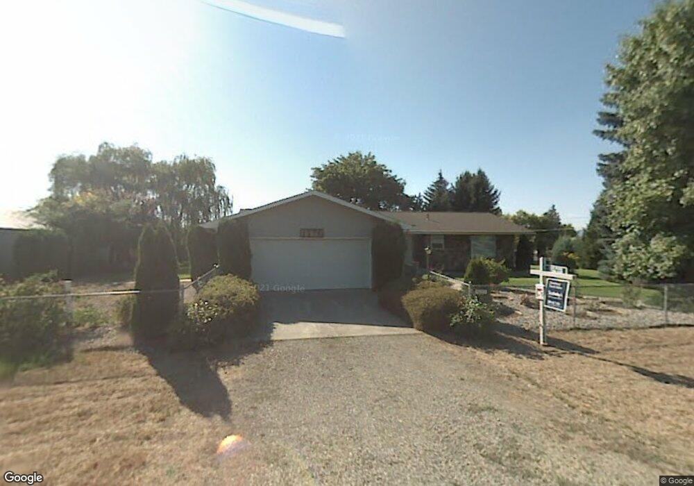
1575 N Maverick Ln Post Falls, ID 83854
Post Falls East NeighborhoodEstimated Value: $702,000 - $873,000
4
Beds
4
Baths
3,867
Sq Ft
$208/Sq Ft
Est. Value
About This Home
This home is located at 1575 N Maverick Ln, Post Falls, ID 83854 and is currently estimated at $803,063, approximately $207 per square foot. 1575 N Maverick Ln is a home located in Kootenai County with nearby schools including Ponderosa Elementary School, Post Falls Middle School, and Post Falls High School.
Ownership History
Date
Name
Owned For
Owner Type
Purchase Details
Closed on
Sep 26, 2008
Sold by
Grassi Timothy M and Grassi Judith A
Bought by
Grassi Timothy M and Grassi Judith A
Current Estimated Value
Home Financials for this Owner
Home Financials are based on the most recent Mortgage that was taken out on this home.
Original Mortgage
$269,178
Interest Rate
6.49%
Mortgage Type
FHA
Create a Home Valuation Report for This Property
The Home Valuation Report is an in-depth analysis detailing your home's value as well as a comparison with similar homes in the area
Home Values in the Area
Average Home Value in this Area
Purchase History
| Date | Buyer | Sale Price | Title Company |
|---|---|---|---|
| Grassi Timothy M | -- | Kootenai County Title Co | |
| Grassl Timothy M | -- | Kootenai County Title Co |
Source: Public Records
Mortgage History
| Date | Status | Borrower | Loan Amount |
|---|---|---|---|
| Closed | Grassl Timothy M | $269,178 |
Source: Public Records
Tax History
| Year | Tax Paid | Tax Assessment Tax Assessment Total Assessment is a certain percentage of the fair market value that is determined by local assessors to be the total taxable value of land and additions on the property. | Land | Improvement |
|---|---|---|---|---|
| 2025 | $2,034 | $742,554 | $307,694 | $434,860 |
| 2024 | $1,996 | $707,614 | $269,694 | $437,920 |
| 2023 | $1,996 | $764,406 | $282,694 | $481,712 |
| 2022 | $2,468 | $738,896 | $257,184 | $481,712 |
| 2021 | $2,482 | $500,338 | $190,308 | $310,030 |
| 2020 | $1,930 | $357,572 | $166,872 | $190,700 |
| 2019 | $1,910 | $328,062 | $146,872 | $181,190 |
| 2018 | $1,692 | $285,002 | $116,872 | $168,130 |
| 2017 | $1,733 | $273,904 | $105,154 | $168,750 |
| 2016 | $1,783 | $265,374 | $100,154 | $165,220 |
| 2015 | $1,902 | $260,110 | $90,000 | $170,110 |
| 2013 | $1,766 | $230,223 | $71,013 | $159,210 |
Source: Public Records
Map
Nearby Homes
- 4470 E 16th Ave Unit 29
- 4470 E 16th Ave Unit 20
- 4577 E Davin Dr
- 4451 E Davin Dr
- 4422 E Savea Ln
- 4519 E Savea Ln
- 4497 E Savea Ln
- 4502 E Savea Ln
- 1490 N Glasgow Dr
- 1356 N Highway 41 Unit 51
- 4584 E Culpeo Ave
- 4566 E Culpeo Ave
- 4548 E Culpeo Ave
- 1358 N Ewell Ct
- 706 N Dundee Dr
- 5030 E Frazier Dr
- 4671 E Alopex Ln
- 768 N Neufeld Ln
- 3683 E Mullan Ave
- 5999 E Roger Dr
- 0 Maverick Unit 2-3869
- 0 Maverick Unit 99-6862
- 0 Maverick Unit 1708
- 0 Maverick Unit 98-9053
- 1566 N Maverick Ln
- 4773 E 16th Ave
- 4915 16th Sp#18 E
- 4723 E 16th Ave
- 1485 N Maverick Ln
- 4820 E 16th Ave
- 5036 E Saint Anthony Ln
- 5036 E St Anthonys Ln
- 1480 N Maverick Ln
- 5071 E St Anthonys Ln
- 4838 E 16th Ave
- 5006 E Saint Anthony Ln
- 5006 E St Anthonys Ln
- 4650 E 16th Ave
- 5037 E St Anthonys Ln
- 4896 E St Anthonys Ln
Your Personal Tour Guide
Ask me questions while you tour the home.