Estimated Value: $72,000 - $90,990
2
Beds
--
Bath
864
Sq Ft
$96/Sq Ft
Est. Value
About This Home
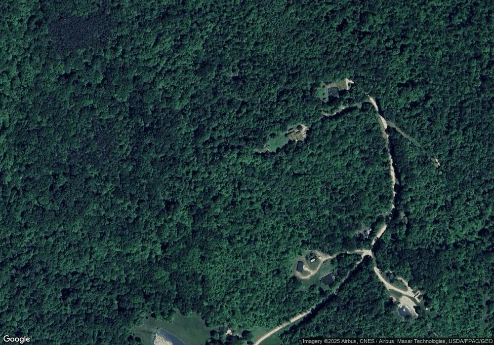
This home is located at 1575 N Pascal Rd, Malta, OH 43758 and is currently estimated at $82,997, approximately $96 per square foot. 1575 N Pascal Rd is a home with nearby schools including Morgan High School.
Ownership History
Date
Name
Owned For
Owner Type
Purchase Details
Closed on
Sep 30, 2017
Sold by
Mast Myron M and Mast Maria J
Bought by
Duty Eugene L and Duty Christine M
Current Estimated Value
Home Financials for this Owner
Home Financials are based on the most recent Mortgage that was taken out on this home.
Original Mortgage
$35,100
Outstanding Balance
$8,467
Interest Rate
3.86%
Mortgage Type
Commercial
Estimated Equity
$74,530
Purchase Details
Closed on
Feb 8, 2005
Sold by
Mowery Alison S Linn
Bought by
Mast Myron M and Mast Marla J
Purchase Details
Closed on
Jan 28, 2005
Sold by
Mowery Joseph M and Linn-Mowery Alison S
Bought by
Mast Myron M and Mast Marla J
Purchase Details
Closed on
Sep 9, 1996
Bought by
Mowery Alison S Linn
Create a Home Valuation Report for This Property
The Home Valuation Report is an in-depth analysis detailing your home's value as well as a comparison with similar homes in the area
Purchase History
| Date | Buyer | Sale Price | Title Company |
|---|---|---|---|
| Duty Eugene L | $7,600 | None Available | |
| Mast Myron M | $32,000 | -- | |
| Mast Myron M | -- | Jeffrey Evans, Evans, Evans, | |
| Mowery Alison S Linn | $9,900 | -- |
Source: Public Records
Mortgage History
| Date | Status | Borrower | Loan Amount |
|---|---|---|---|
| Open | Duty Eugene L | $35,100 |
Source: Public Records
Tax History
| Year | Tax Paid | Tax Assessment Tax Assessment Total Assessment is a certain percentage of the fair market value that is determined by local assessors to be the total taxable value of land and additions on the property. | Land | Improvement |
|---|---|---|---|---|
| 2024 | $671 | $20,820 | $13,130 | $7,690 |
| 2023 | $673 | $16,330 | $10,700 | $5,630 |
| 2022 | $521 | $16,330 | $10,700 | $5,630 |
| 2021 | $526 | $16,330 | $10,700 | $5,630 |
| 2019 | $500 | $14,850 | $9,730 | $5,120 |
| 2018 | $481 | $14,850 | $9,730 | $5,120 |
| 2017 | $424 | $12,817 | $7,574 | $5,243 |
| 2016 | $426 | $12,817 | $7,574 | $5,243 |
| 2015 | $426 | $12,817 | $7,574 | $5,243 |
| 2014 | $439 | $12,817 | $7,574 | $5,243 |
| 2013 | $431 | $12,817 | $7,574 | $5,243 |
Source: Public Records
Map
Nearby Homes
- 7621 W Mollahan Rd NW
- 8960 State Route 37
- 360 Glass Rd NW
- 690 Ames Rd
- 0 Hambel Rd
- 581 Butler Rd
- 0 Township Road 318
- 6495 Township Road 293 SE
- 14105 Portie-Flamingo Rd SE
- 13877 Portie Flamingo Rd SE
- 136 Jones St
- 185 Adams St
- 140 S Valley St
- 156 Rodgers St
- 207 W Main St
- 14632 Township Road 202 NE
- 0 NE Township Road 202 Unit 20250430
- 0 Township Road 202
- 7.38 acres County Road 13
- 0 Township Road 331 SE Unit 5178029
- 1635 N Pascal Rd
- 1470 N Pascal Rd
- 1180 N Pascal Rd
- 8525 W Morganville Rd NW
- 1150 1120 Pascal Rd
- 1150 N Pascal Rd
- 8833 W Morganville Rd NW
- 8435 W Morganville Rd NW
- 9055 W Morganville Rd NW
- 8450 W Morganville Rd NW
- 920 N Pascal Rd
- 8550 Drake Rd
- 8870 Drake Rd
- 8585 Drake Rd
- 8585 N Drake Rd
- 8755 Drake Rd
- 0 Glass Rd
- 2151 Stoney Point Rd
- 8230 W Morganville Rd NW
- 8925 Drake Rd
