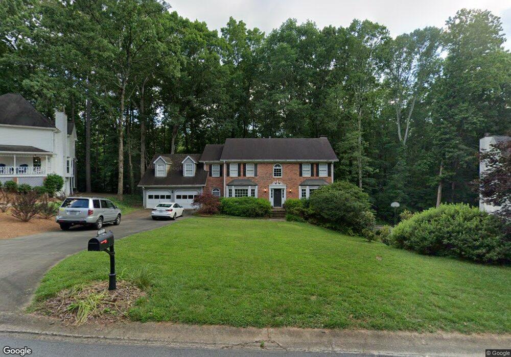
1575 Sandpoint Dr NE Unit 2 Roswell, GA 30075
East Cobb NeighborhoodEstimated Value: $657,008 - $794,000
4
Beds
3
Baths
2,973
Sq Ft
$242/Sq Ft
Est. Value
About This Home
This home is located at 1575 Sandpoint Dr NE Unit 2, Roswell, GA 30075 and is currently estimated at $720,002, approximately $242 per square foot. 1575 Sandpoint Dr NE Unit 2 is a home located in Cobb County with nearby schools including Tritt Elementary School, Hightower Trail Middle School, and Pope High School.
Ownership History
Date
Name
Owned For
Owner Type
Purchase Details
Closed on
Nov 10, 2005
Sold by
Gendusa David E
Bought by
Martin Philip and Martin Jennifer
Current Estimated Value
Home Financials for this Owner
Home Financials are based on the most recent Mortgage that was taken out on this home.
Original Mortgage
$284,700
Outstanding Balance
$155,063
Interest Rate
6.04%
Mortgage Type
New Conventional
Estimated Equity
$564,939
Create a Home Valuation Report for This Property
The Home Valuation Report is an in-depth analysis detailing your home's value as well as a comparison with similar homes in the area
Home Values in the Area
Average Home Value in this Area
Purchase History
| Date | Buyer | Sale Price | Title Company |
|---|---|---|---|
| Martin Philip | $335,000 | -- |
Source: Public Records
Mortgage History
| Date | Status | Borrower | Loan Amount |
|---|---|---|---|
| Open | Martin Philip | $284,700 |
Source: Public Records
Tax History Compared to Growth
Tax History
| Year | Tax Paid | Tax Assessment Tax Assessment Total Assessment is a certain percentage of the fair market value that is determined by local assessors to be the total taxable value of land and additions on the property. | Land | Improvement |
|---|---|---|---|---|
| 2025 | $6,970 | $288,468 | $80,000 | $208,468 |
| 2024 | $6,546 | $268,628 | $64,000 | $204,628 |
| 2023 | $4,374 | $193,492 | $42,000 | $151,492 |
| 2022 | $4,953 | $193,492 | $42,000 | $151,492 |
| 2021 | $4,552 | $175,180 | $40,000 | $135,180 |
| 2020 | $4,552 | $175,180 | $40,000 | $135,180 |
| 2019 | $4,295 | $163,436 | $34,400 | $129,036 |
| 2018 | $4,295 | $163,436 | $34,400 | $129,036 |
| 2017 | $3,302 | $125,828 | $36,400 | $89,428 |
| 2016 | $3,304 | $125,828 | $36,400 | $89,428 |
| 2015 | $3,191 | $117,136 | $32,000 | $85,136 |
| 2014 | $3,218 | $117,136 | $0 | $0 |
Source: Public Records
Map
Nearby Homes
- 2661 Sandpoint Way NE
- 2482 N Forest Dr
- 2696 Long Lake Terrace NE
- 2743 Chimney Springs Dr
- 5108 Nicolet Ct
- 2779 Horseshoe Knoll Ln NE
- 2655 Boulder Creek Dr NE
- 110 Boulder Dr
- 2212 Heritage Trace View
- 2281 Fox Hound Pkwy
- 4586 Hunting Hound Ln
- 2859 Tynewick Dr NE
- 2990 Mountain Trace NE
- 2269 Chimney Springs Dr
- 2255 Rushmore Dr
- 2100 Stone Hollow Ct
- 1577 Sandpoint Dr NE Unit 2
- 1573 Sandpoint Dr NE Unit 2
- 1579 Sandpoint Dr NE
- 2653 Sandpoint Way NE
- 2655 Sandpoint Way NE
- 1580 Sandpoint Dr NE
- 1582 Sandpoint Dr NE
- 1581 Sandpoint Dr NE
- 2666 Stonebrook Ct NE Unit 2
- 1571 Sandpoint Dr NE Unit 2
- 1578 Sandpoint Dr NE
- 2652 Sandpoint Way NE
- 1583 Sandpoint Dr NE
- 2257 Hill Creek Way Unit 5
- 2251 Hill Creek Way
- 1584 Sandpoint Dr NE
- 2668 Stonebrook Ct NE
- 1569 Sandpoint Dr NE Unit 2
- 1576 Sandpoint Dr NE
- 2670 Stonebrook Ct NE Unit 2