1575 W Gunn Rd Rochester, MI 48306
Estimated Value: $442,000 - $644,000
2
Beds
2
Baths
1,200
Sq Ft
$456/Sq Ft
Est. Value
About This Home
This home is located at 1575 W Gunn Rd, Rochester, MI 48306 and is currently estimated at $547,497, approximately $456 per square foot. 1575 W Gunn Rd is a home located in Oakland County with nearby schools including Delta Kelly Elementary School, Van Hoosen Middle School, and Rochester Adams High School.
Ownership History
Date
Name
Owned For
Owner Type
Purchase Details
Closed on
Apr 22, 2005
Sold by
Nordrum Margaret L
Bought by
Nordrum Margaret L and Margaret L Nordrum Living Trust
Current Estimated Value
Purchase Details
Closed on
Jun 15, 1999
Sold by
Rose Marie Ccollin Tr
Bought by
Nordrum Douglas A
Home Financials for this Owner
Home Financials are based on the most recent Mortgage that was taken out on this home.
Original Mortgage
$200,000
Interest Rate
7.69%
Purchase Details
Closed on
Feb 24, 1999
Sold by
Rose Marie C Collin Tr
Bought by
Allen Robert
Purchase Details
Closed on
Jan 10, 1997
Sold by
Collin Mauriece R
Bought by
Rose Marie C Collin Tr
Create a Home Valuation Report for This Property
The Home Valuation Report is an in-depth analysis detailing your home's value as well as a comparison with similar homes in the area
Home Values in the Area
Average Home Value in this Area
Purchase History
| Date | Buyer | Sale Price | Title Company |
|---|---|---|---|
| Nordrum Margaret L | -- | -- | |
| Nordrum Douglas A | -- | -- | |
| Allen Robert | $20,000 | -- | |
| Rose Marie C Collin Tr | -- | -- |
Source: Public Records
Mortgage History
| Date | Status | Borrower | Loan Amount |
|---|---|---|---|
| Previous Owner | Nordrum Douglas A | $200,000 |
Source: Public Records
Tax History Compared to Growth
Tax History
| Year | Tax Paid | Tax Assessment Tax Assessment Total Assessment is a certain percentage of the fair market value that is determined by local assessors to be the total taxable value of land and additions on the property. | Land | Improvement |
|---|---|---|---|---|
| 2024 | $2,126 | $190,400 | $0 | $0 |
| 2023 | $2,044 | $190,010 | $0 | $0 |
| 2022 | $3,028 | $172,470 | $0 | $0 |
| 2021 | $2,822 | $164,030 | $0 | $0 |
| 2020 | $1,975 | $162,230 | $0 | $0 |
| 2019 | $2,940 | $153,640 | $0 | $0 |
| 2018 | $2,952 | $143,950 | $0 | $0 |
| 2017 | $2,913 | $140,000 | $0 | $0 |
| 2016 | $2,898 | $133,630 | $0 | $0 |
| 2015 | -- | $120,780 | $0 | $0 |
| 2014 | -- | $111,900 | $0 | $0 |
| 2011 | -- | $101,710 | $0 | $0 |
Source: Public Records
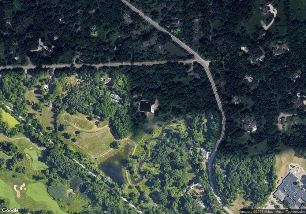
Map
Nearby Homes
- 3941 S Ellamae Rd
- 4795 Gallagher Rd
- 1494 Highpoint Dr
- 4688 Fawn Hill Ct
- 4732 Goodison Place Dr
- 3453 Dursly Ct
- 3483 Lennox Ct Unit 210
- 3507 Lennox Ct Unit 209
- 1800 Silverbell Rd
- 3369 Dursly Ct Unit 186
- 1035 Lindenhill Ln Unit 212
- 3430 Newbury Ct
- 4831 Goodison Place Dr
- 3340 Dursly Ct Unit 184
- 2555 Fairway Ct
- The Lucerne Plan at Oakland Hunt - The Reserve
- The Granada Plan at Oakland Hunt - The Reserve
- The Champlain Plan at Oakland Hunt - The Reserve
- The Vallecito Plan at Oakland Hunt - The Reserve
- The Marion Plan at Oakland Hunt - The Reserve