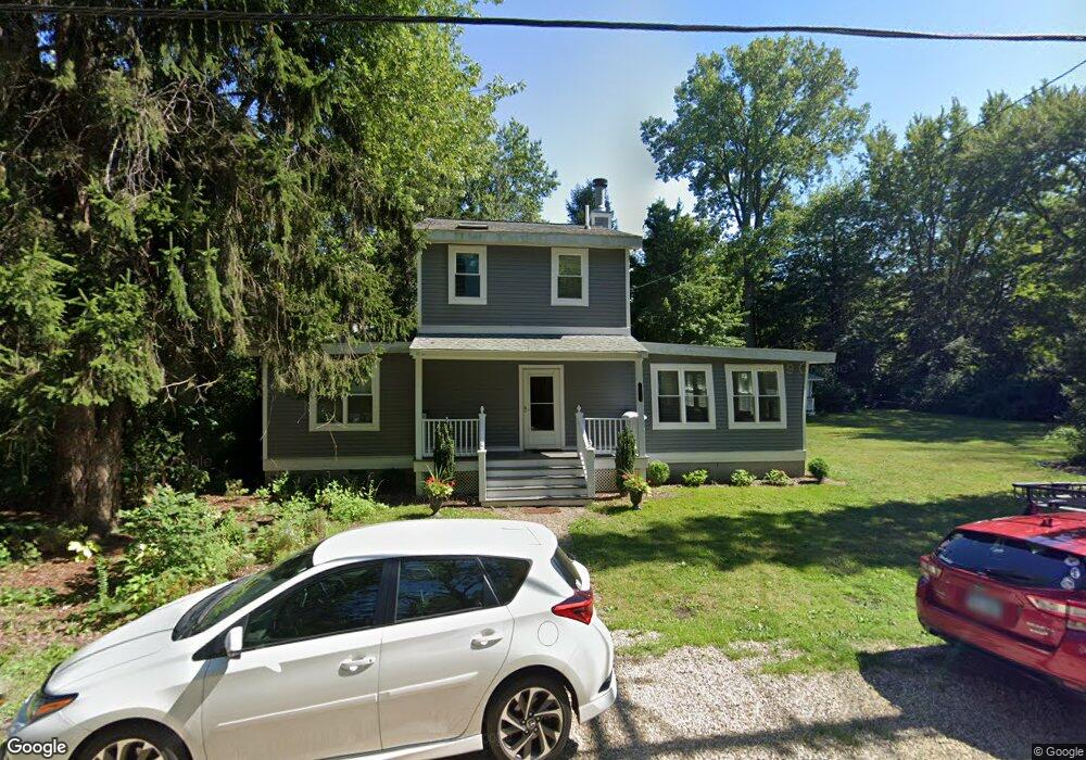
15759 Lakeshore Rd Unit AB Union Pier, MI 49129
Estimated Value: $1,117,000 - $1,500,941
8
Beds
4
Baths
3,351
Sq Ft
$390/Sq Ft
Est. Value
About This Home
This home is located at 15759 Lakeshore Rd Unit AB, Union Pier, MI 49129 and is currently estimated at $1,306,314, approximately $389 per square foot. 15759 Lakeshore Rd Unit AB is a home located in Berrien County with nearby schools including New Buffalo Elementary School, New Buffalo Middle School, and New Buffalo Senior High School.
Ownership History
Date
Name
Owned For
Owner Type
Purchase Details
Closed on
Nov 18, 2020
Sold by
Oneil Patricia S
Bought by
Oneil Timothy K
Current Estimated Value
Home Financials for this Owner
Home Financials are based on the most recent Mortgage that was taken out on this home.
Original Mortgage
$510,400
Outstanding Balance
$453,443
Interest Rate
2.71%
Mortgage Type
New Conventional
Estimated Equity
$852,871
Purchase Details
Closed on
Jun 9, 1986
Create a Home Valuation Report for This Property
The Home Valuation Report is an in-depth analysis detailing your home's value as well as a comparison with similar homes in the area
Home Values in the Area
Average Home Value in this Area
Purchase History
| Date | Buyer | Sale Price | Title Company |
|---|---|---|---|
| Oneil Timothy K | -- | Title Company Llc | |
| -- | $68,000 | -- |
Source: Public Records
Mortgage History
| Date | Status | Borrower | Loan Amount |
|---|---|---|---|
| Open | Oneil Timothy K | $510,400 |
Source: Public Records
Tax History Compared to Growth
Tax History
| Year | Tax Paid | Tax Assessment Tax Assessment Total Assessment is a certain percentage of the fair market value that is determined by local assessors to be the total taxable value of land and additions on the property. | Land | Improvement |
|---|---|---|---|---|
| 2025 | $9,707 | $447,800 | $0 | $0 |
| 2024 | $6,104 | $367,300 | $0 | $0 |
| 2023 | $5,814 | $365,000 | $0 | $0 |
| 2022 | $5,537 | $317,900 | $0 | $0 |
| 2021 | $8,308 | $325,400 | $226,000 | $99,400 |
| 2020 | $4,134 | $292,200 | $0 | $0 |
| 2019 | $4,037 | $354,700 | $210,000 | $144,700 |
| 2018 | $3,991 | $354,700 | $0 | $0 |
| 2017 | $4,014 | $358,300 | $0 | $0 |
| 2016 | $3,829 | $361,700 | $0 | $0 |
| 2015 | $3,803 | $354,200 | $0 | $0 |
| 2014 | $2,480 | $340,600 | $0 | $0 |
Source: Public Records
Map
Nearby Homes
- 9720 Woodlawn Ave
- 15657 Lakeshore Rd Unit 12
- 16009 Goodwin Ave Unit 12
- 16009 Goodwin Ave Unit 10
- 16009 Goodwin Ave Unit 13
- 15943 Lakeshore Rd
- 15930 Lake Ave
- 15577 Victor Rd Unit 4
- 15655 Locke Rd
- 15660 Locke Rd
- 16253 1st Ln
- 15445 Lakeshore Rd
- 10252 Town Line Ave
- 9325 Matthews Rd
- 9132 National Pkwy
- V/L National Pkwy Unit 25
- 16225 Quality Ln
- 15360 Lakeshore Rd
- 16351 Red Arrow Hwy
- Lot 7 Driftwood Path
- 15000 Lakeshore Rd
- 2 Lakeshore Rd
- 1 Lakeshore Rd
- 0 Lakeshore Rd
- 9849 Nolan Ave
- 15755 Lakeshore Rd
- 9853 Nolan Ave
- 9843 Nolan Ave
- 15789 Center
- 15787 Center
- 15795 Center Ave
- 15745 Lakeshore Rd
- 9835 Nolan Ave
- 15813 Center Ave
- 15762 Lakeshore Rd
- 15756 Lakeshore Rd
- 15764 Lakeshore Rd
- 9850 Nolan Ave
- 9844 Nolan Ave
- 9854 Nolan Ave