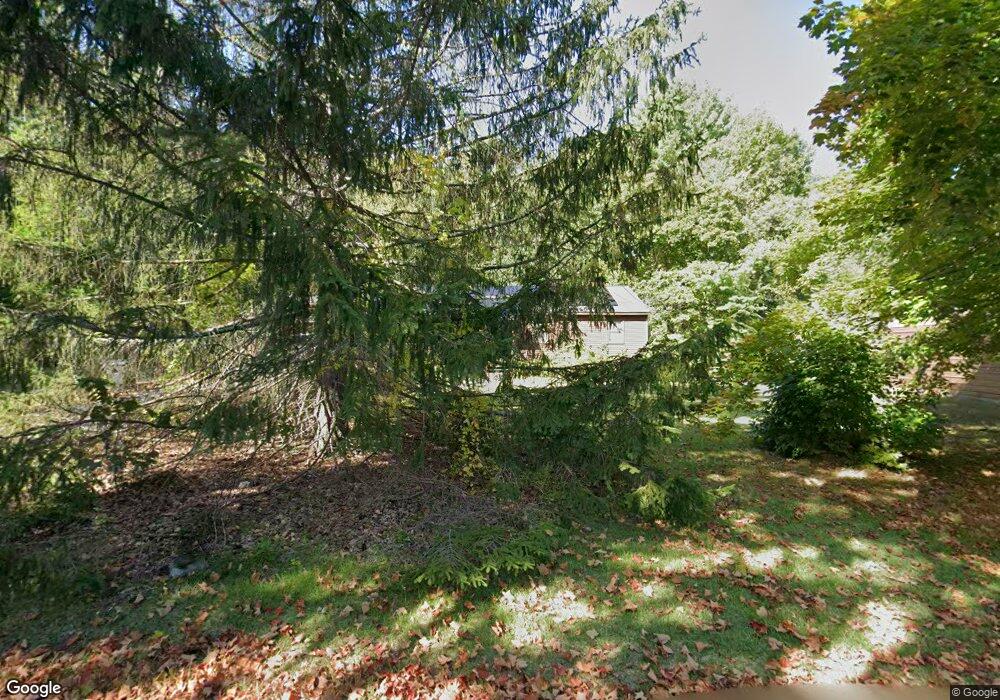
1576 Shirley Rd Lancaster, MA 01523
Estimated Value: $503,000 - $625,000
3
Beds
1
Bath
1,228
Sq Ft
$461/Sq Ft
Est. Value
About This Home
This home is located at 1576 Shirley Rd, Lancaster, MA 01523 and is currently estimated at $565,515, approximately $460 per square foot. 1576 Shirley Rd is a home located in Worcester County with nearby schools including Mary Rowlandson Elementary School, Luther Burbank Middle School, and Nashoba Regional High School.
Ownership History
Date
Name
Owned For
Owner Type
Purchase Details
Closed on
Aug 14, 2009
Sold by
Rcg Rt and Gleezen Kent
Bought by
Gleezen Kevin
Current Estimated Value
Home Financials for this Owner
Home Financials are based on the most recent Mortgage that was taken out on this home.
Original Mortgage
$130,000
Outstanding Balance
$85,407
Interest Rate
5.36%
Mortgage Type
Purchase Money Mortgage
Estimated Equity
$480,108
Create a Home Valuation Report for This Property
The Home Valuation Report is an in-depth analysis detailing your home's value as well as a comparison with similar homes in the area
Home Values in the Area
Average Home Value in this Area
Purchase History
| Date | Buyer | Sale Price | Title Company |
|---|---|---|---|
| Gleezen Kevin | $260,000 | -- |
Source: Public Records
Mortgage History
| Date | Status | Borrower | Loan Amount |
|---|---|---|---|
| Open | Gleezen Kevin | $130,000 |
Source: Public Records
Tax History
| Year | Tax Paid | Tax Assessment Tax Assessment Total Assessment is a certain percentage of the fair market value that is determined by local assessors to be the total taxable value of land and additions on the property. | Land | Improvement |
|---|---|---|---|---|
| 2025 | $7,788 | $481,900 | $123,000 | $358,900 |
| 2024 | $7,775 | $445,300 | $113,000 | $332,300 |
| 2023 | $7,172 | $417,200 | $103,000 | $314,200 |
| 2022 | $6,590 | $338,800 | $93,800 | $245,000 |
| 2021 | $6,446 | $322,600 | $93,800 | $228,800 |
| 2020 | $6,523 | $328,600 | $93,800 | $234,800 |
| 2019 | $6,028 | $305,200 | $93,800 | $211,400 |
| 2018 | $5,558 | $278,200 | $93,800 | $184,400 |
| 2016 | $4,602 | $235,400 | $92,800 | $142,600 |
| 2015 | $4,382 | $233,600 | $92,800 | $140,800 |
| 2014 | $4,293 | $227,000 | $92,800 | $134,200 |
Source: Public Records
Map
Nearby Homes
- 12 Meditation Ln Unit 12
- 7 Lawson Ave
- 0 Windsor Rd
- 1497 Lunenburg Rd
- 35 Mcgovern Blvd
- 10 Nashua St
- 2038-1 Laurel Hill Ln
- 2038 Laurel Hill Ln Unit LOT 18
- 4 Davis St
- 25 Front St
- 303 Ponakin Rd
- 11 Ambrose Way Unit 9
- 43 Ambrose Way Unit 43
- 10 Ambrose Way Unit 10
- 31 Ambrose Way Unit 31
- 34 Ambrose Way Unit 34
- 12 Ambrose Way Unit 12
- 6 Ambrose Way Unit 3
- 2 Ambrose Way Unit 2
- 9 Ambrose Way Unit 9
- 0 Rear Shirley Rd
- 1501 Shirley Rd
- 5 Old Union Turnpike
- 12 Meditation Ln
- 10 Meditation Ln
- 27 Old Union Turnpike
- 1575 Shirley Rd
- 32 Meditation Ln
- 32 Meditation Ln Unit 32
- 30 Meditation Ln
- 11 Meditation Ln
- 11 Meditation Ln Unit 1B
- 7 Meditation Ln
- 7 Meditation Ln Unit 1A
- 44 Meditation Ln
- 29 Meditation Ln
- 46 Meditation Ln
- 27 Meditation Ln
- 27 Meditation Ln Unit 27
- 41 Meditation Ln
Your Personal Tour Guide
Ask me questions while you tour the home.