15762 Malone Rd Gentry, AR 72734
Estimated Value: $214,000 - $403,253
Studio
2
Baths
1,851
Sq Ft
$184/Sq Ft
Est. Value
About This Home
This home is located at 15762 Malone Rd, Gentry, AR 72734 and is currently estimated at $339,813, approximately $183 per square foot. 15762 Malone Rd is a home located in Benton County with nearby schools including Gentry Intermediate School, Gentry Primary School, and Gentry Middle School.
Ownership History
Date
Name
Owned For
Owner Type
Purchase Details
Closed on
Feb 1, 2021
Sold by
Brummett Clyde and Brummett Doris
Bought by
Brummett Clyde Warren and Brummett Doris Jean
Current Estimated Value
Purchase Details
Closed on
Apr 13, 1999
Bought by
Brummett 10Ac
Purchase Details
Closed on
Jul 17, 1998
Bought by
Brummett
Purchase Details
Closed on
Aug 9, 1989
Bought by
Campbell
Purchase Details
Closed on
Sep 16, 1988
Bought by
Dod 09-16-1988
Purchase Details
Closed on
Jan 7, 1987
Bought by
Dod 01-07-1987
Create a Home Valuation Report for This Property
The Home Valuation Report is an in-depth analysis detailing your home's value as well as a comparison with similar homes in the area
Purchase History
| Date | Buyer | Sale Price | Title Company |
|---|---|---|---|
| Brummett Clyde Warren | -- | None Available | |
| Brummett 10Ac | -- | -- | |
| Brummett | $24,000 | -- | |
| Campbell | -- | -- | |
| Dod 09-16-1988 | -- | -- | |
| Dod 01-07-1987 | -- | -- |
Source: Public Records
Tax History
| Year | Tax Paid | Tax Assessment Tax Assessment Total Assessment is a certain percentage of the fair market value that is determined by local assessors to be the total taxable value of land and additions on the property. | Land | Improvement |
|---|---|---|---|---|
| 2025 | $1,033 | $51,208 | $6,941 | $44,267 |
| 2024 | $1,008 | $51,208 | $6,941 | $44,267 |
| 2023 | $1,008 | $35,400 | $4,320 | $31,080 |
| 2022 | $699 | $35,400 | $4,320 | $31,080 |
| 2021 | $696 | $35,400 | $4,320 | $31,080 |
| 2020 | $698 | $24,670 | $2,430 | $22,240 |
| 2019 | $698 | $24,670 | $2,430 | $22,240 |
| 2018 | $723 | $24,670 | $2,430 | $22,240 |
| 2017 | $723 | $24,670 | $2,430 | $22,240 |
| 2016 | $723 | $24,670 | $2,430 | $22,240 |
| 2015 | $996 | $22,490 | $1,290 | $21,200 |
| 2014 | $648 | $22,490 | $1,290 | $21,200 |
Source: Public Records
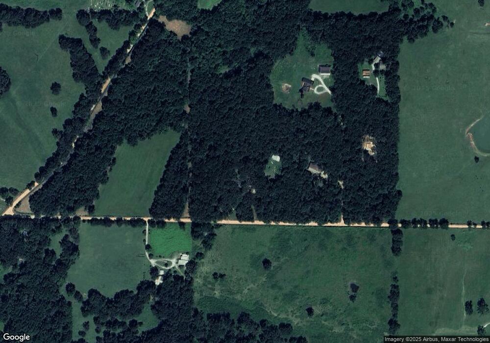
Map
Nearby Homes
- 13180 S Pleasant Valley Rd
- 12246 S Pleasant Valley Rd
- TBD Tract 3 S Pleasant Valley Rd
- TBD Tract 4 S Pleasant Valley Rd
- 9300 S Pleasant Valley Rd
- 9112 S Pleasant Valley Rd
- 9236 S Pleasant Valley Rd
- 9260 S Pleasant Valley Rd
- Tract #1 Digby Dr
- Tract #4 Digby Dr
- Tract #2 Digby Dr
- Tract #5 Digby Dr
- 9307 Digby Dr
- Tract #3 Digby Dr
- 2550 NW Peterson Rd
- 16576 W Highway 12
- Lots 1, 8 & 11 Snyder Estates Rurban Phase 3
- 5301 Tannerwood Cove
- 5401 Tannerwood Cove
- 1257 NW Malone Rd
- 0 Malone (Highfill) Rd Unit 459261
- 0 Malone (Highfill) Rd Unit 459262
- --
- 0 Malone (Highfill) Rd Unit 487304
- 0 Malone (Highfill) Rd Unit 487308
- 0 Malone (Highfill) Rd Unit 560912
- 0 Malone (Highfill) Rd Unit 560911
- 0 Melone Rd Unit 565949
- 0 Malone (Highfill) Rd Unit 575905
- 0 Malone (Highfill) Rd Unit 592290
- 15791 Malone Rd
- 15662 Malone Rd
- 15670 Malone (Highfill) Rd
- 15829 Malone Rd
- TBD S Pleasant Valley Rd
- 2150 S Pleasant Valley Rd
- 12698 S Pleasant Valley Rd
- 5 S Pleasant Valley Rd
- 11891 S Pleasant Valley Rd
- 15656 Malone Rd
Your Personal Tour Guide
Ask me questions while you tour the home.