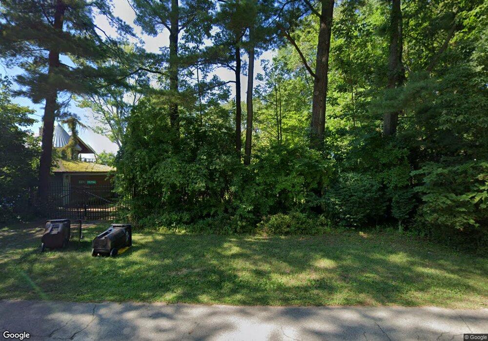
15764 Lakeshore Rd Union Pier, MI 49129
Estimated Value: $1,393,000 - $3,344,000
5
Beds
2
Baths
3,011
Sq Ft
$763/Sq Ft
Est. Value
About This Home
This home is located at 15764 Lakeshore Rd, Union Pier, MI 49129 and is currently estimated at $2,297,259, approximately $762 per square foot. 15764 Lakeshore Rd is a home located in Berrien County with nearby schools including New Buffalo Elementary School, New Buffalo Middle School, and New Buffalo Senior High School.
Ownership History
Date
Name
Owned For
Owner Type
Purchase Details
Closed on
Oct 2, 2018
Sold by
Donald Garfield Trustees The Sharlene Ga
Bought by
Survivor Trust
Current Estimated Value
Purchase Details
Closed on
Sep 27, 2018
Sold by
Garfield Donald
Bought by
Donald Garfield Trust and Sharlene Garfield Trust
Purchase Details
Closed on
Jan 9, 2015
Sold by
Garfield Donald and Garfield Sharlene P
Bought by
Sharlene Garfield Trust
Purchase Details
Closed on
Sep 12, 1983
Purchase Details
Closed on
Dec 30, 1982
Purchase Details
Closed on
Mar 1, 1976
Create a Home Valuation Report for This Property
The Home Valuation Report is an in-depth analysis detailing your home's value as well as a comparison with similar homes in the area
Home Values in the Area
Average Home Value in this Area
Purchase History
| Date | Buyer | Sale Price | Title Company |
|---|---|---|---|
| Survivor Trust | -- | None Listed On Document | |
| Donald Garfield Trust | -- | None Available | |
| Sharlene Garfield Trust | -- | None Available | |
| -- | -- | -- | |
| -- | -- | -- | |
| -- | $56,800 | -- |
Source: Public Records
Tax History Compared to Growth
Tax History
| Year | Tax Paid | Tax Assessment Tax Assessment Total Assessment is a certain percentage of the fair market value that is determined by local assessors to be the total taxable value of land and additions on the property. | Land | Improvement |
|---|---|---|---|---|
| 2025 | $14,086 | $1,372,300 | $0 | $0 |
| 2024 | $8,859 | $1,131,800 | $0 | $0 |
| 2023 | $8,437 | $821,000 | $0 | $0 |
| 2022 | $8,035 | $860,200 | $0 | $0 |
| 2021 | $12,057 | $784,800 | $630,300 | $154,500 |
| 2020 | $11,907 | $729,000 | $0 | $0 |
| 2019 | $11,628 | $877,700 | $734,600 | $143,100 |
| 2018 | $11,494 | $877,700 | $0 | $0 |
| 2017 | $11,561 | $962,300 | $0 | $0 |
| 2016 | $11,013 | $1,020,800 | $0 | $0 |
| 2015 | $10,940 | $1,008,000 | $0 | $0 |
| 2014 | $7,144 | $1,142,800 | $0 | $0 |
Source: Public Records
Map
Nearby Homes
- 15657 Lakeshore Rd Unit 12
- 9720 Woodlawn Ave
- 16009 Goodwin Ave Unit 12
- 16009 Goodwin Ave Unit 10
- 16009 Goodwin Ave Unit 13
- 15943 Lakeshore Rd
- 15930 Lake Ave
- 15577 Victor Rd Unit 4
- 15655 Locke Rd
- 15660 Locke Rd
- 15445 Lakeshore Rd
- 16253 1st Ln
- 10252 Town Line Ave
- 16225 Quality Ln
- 9132 National Pkwy
- 9325 Matthews Rd
- V/L National Pkwy Unit 25
- 15360 Lakeshore Rd
- 16351 Red Arrow Hwy
- Lot 7 Driftwood Path
- 15772 Lakeshore Rd
- 15762 Lakeshore Rd
- 15780 Lakeshore Rd
- 15000 Lakeshore Rd
- 2 Lakeshore Rd
- 1 Lakeshore Rd
- 0 Lakeshore Rd
- 15756 Lakeshore Rd
- 15790 Lakeshore Rd
- 15787 Center
- 15746 Lakeshore Rd
- 15759 Lakeshore Rd Unit AB
- 15789 Center
- 15755 Lakeshore Rd
- 15796 Lakeshore Rd
- 15795 Center Ave
- 15734 Lakeshore Rd
- 9853 Nolan Ave
- 15813 Center Ave
- 15745 Lakeshore Rd