15765 Highway 10 Tahlequah, OK 74464
Estimated Value: $325,914
2
Beds
1
Bath
1,024
Sq Ft
$318/Sq Ft
Est. Value
About This Home
This home is located at 15765 Highway 10, Tahlequah, OK 74464 and is currently estimated at $325,914, approximately $318 per square foot. 15765 Highway 10 is a home located in Cherokee County with nearby schools including Cherokee Elementary School, Greenwood Elementary School, and Tahlequah Middle School.
Ownership History
Date
Name
Owned For
Owner Type
Purchase Details
Closed on
Sep 11, 2024
Sold by
Barret Frank
Bought by
Riverbend Outfitters And Lodge Llc
Current Estimated Value
Purchase Details
Closed on
May 9, 2022
Sold by
Bluebird Resorts Llc
Bought by
Frank Barret
Purchase Details
Closed on
Oct 24, 2014
Sold by
The Bank Of New York Mellon
Bought by
Frank Robert L and Frank Catherine
Purchase Details
Closed on
Nov 27, 2001
Sold by
Wanda J Westmoreland
Bought by
Macmartin
Create a Home Valuation Report for This Property
The Home Valuation Report is an in-depth analysis detailing your home's value as well as a comparison with similar homes in the area
Home Values in the Area
Average Home Value in this Area
Purchase History
| Date | Buyer | Sale Price | Title Company |
|---|---|---|---|
| Riverbend Outfitters And Lodge Llc | -- | None Listed On Document | |
| Frank Barret | -- | New Title Company Name | |
| Frank Robert L | $13,000 | Oklahoma Req Closing & Title | |
| Macmartin | $25,000 | -- |
Source: Public Records
Tax History Compared to Growth
Tax History
| Year | Tax Paid | Tax Assessment Tax Assessment Total Assessment is a certain percentage of the fair market value that is determined by local assessors to be the total taxable value of land and additions on the property. | Land | Improvement |
|---|---|---|---|---|
| 2025 | $5,770 | $59,277 | $6,325 | $52,952 |
| 2024 | $5,770 | $60,894 | $6,325 | $54,569 |
| 2023 | $5,770 | $57,994 | $6,325 | $51,669 |
| 2022 | $422 | $4,546 | $1,047 | $3,499 |
| 2021 | $298 | $3,204 | $937 | $2,267 |
| 2020 | $304 | $3,205 | $937 | $2,268 |
| 2019 | $301 | $3,205 | $937 | $2,268 |
| 2018 | $292 | $3,076 | $808 | $2,268 |
| 2017 | $278 | $2,930 | $662 | $2,268 |
| 2016 | $266 | $2,791 | $523 | $2,268 |
| 2015 | $269 | $2,859 | $889 | $1,970 |
| 2014 | $269 | $2,859 | $889 | $1,970 |
Source: Public Records
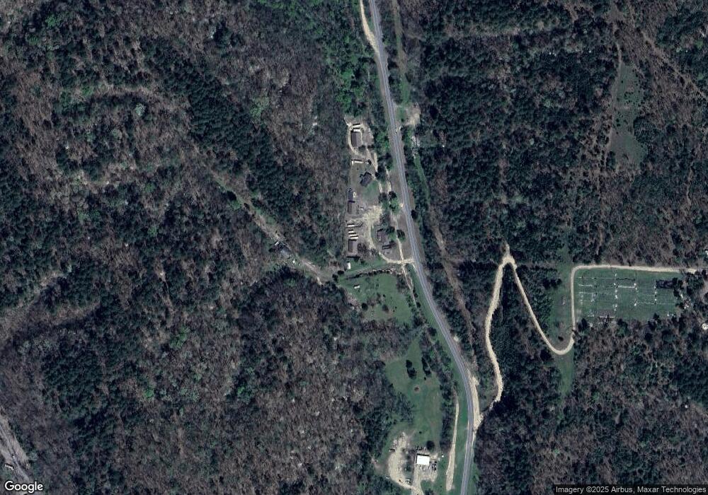
Map
Nearby Homes
- 16527 N Highway 10
- 0 Hwy 10 N Unit 2514793
- 20596 E Whipperwill Rd
- 8147 N 544 Rd
- 1390 N Legion Dr
- 20455 E Whipperwill Rd
- 13468 Hwy 10
- 13468 Oklahoma 10
- 20413 E Allen Rd
- 2205 Oakridge Dr
- 22678 Sunrise Ridge Dr
- 1518 E Hogner St
- 912 Summit Ridge Ct
- 1505 E Summerfield St
- 21088 E Steely Hollow Rd
- 1450 E Allen Rd
- 105 Summit Ridge Dr
- 17730 S Old Highway 62
- 100 Career Tech
- 540 N Moccasin
- 15765 N Highway 10
- 15693 N Highway 10
- 15693 N Highway 10
- 15693 N Highway 10
- 15777 Highway 10
- 15335 N 546 Rd
- 15618 N Highway 10
- 15618 Highway 10
- 22390 E Elephant Rock Rd
- 0 Elephant Rock Rd Unit 1842617
- 15317 N 546 Rd
- 16123 Highway 10
- 21828 N Ben George Rd
- 15285 N 546 Rd
- 1234 Hwy 10 N
- 21852 N Ben George Rd
- 15253 N 546 Rd
- 16016 N 552 Rd
- 21871 N Ben George Rd
- 22235 E 733 Rd