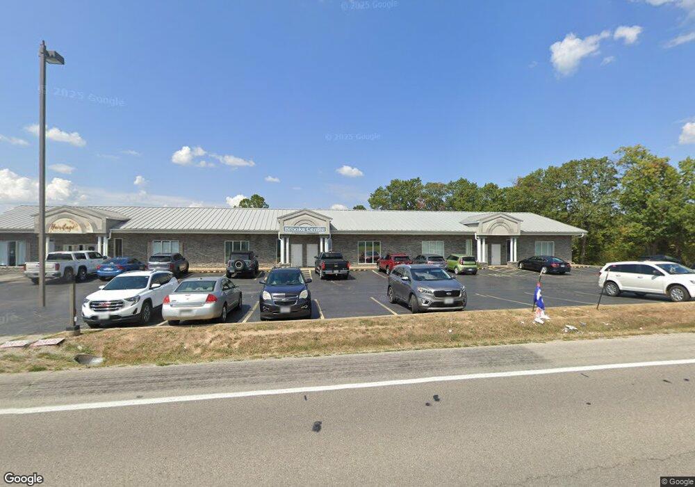
15765 State Highway 13 Branson West, MO 65737
--
Bed
--
Bath
14,271
Sq Ft
1.9
Acres
About This Home
This home is located at 15765 State Highway 13, Branson West, MO 65737. 15765 State Highway 13 is a home located in Stone County with nearby schools including Reeds Spring Primary School, Reeds Spring Elementary School, and Reeds Spring Middle School.
Ownership History
Date
Name
Owned For
Owner Type
Purchase Details
Closed on
Jul 30, 2021
Sold by
Api Investments Llc
Bought by
Republic Partners Llc
Purchase Details
Closed on
Dec 20, 2007
Sold by
Rovekll Daniel P and Rovekll Claudia R
Bought by
Morton Debra L
Home Financials for this Owner
Home Financials are based on the most recent Mortgage that was taken out on this home.
Original Mortgage
$356,250
Interest Rate
6.26%
Mortgage Type
Commercial
Purchase Details
Closed on
Jul 13, 2005
Sold by
Pheasant Run Development Inc
Bought by
Teora Tom
Create a Home Valuation Report for This Property
The Home Valuation Report is an in-depth analysis detailing your home's value as well as a comparison with similar homes in the area
Home Values in the Area
Average Home Value in this Area
Purchase History
| Date | Buyer | Sale Price | Title Company |
|---|---|---|---|
| Republic Partners Llc | -- | None Listed On Document | |
| Morton Debra L | -- | None Available | |
| Teora Tom | -- | Lincoln Evans Land Title Com | |
| Pheasant Run Development Inc | -- | Lincoln Evans Land Title Com |
Source: Public Records
Mortgage History
| Date | Status | Borrower | Loan Amount |
|---|---|---|---|
| Previous Owner | Morton Debra L | $356,250 |
Source: Public Records
Tax History Compared to Growth
Tax History
| Year | Tax Paid | Tax Assessment Tax Assessment Total Assessment is a certain percentage of the fair market value that is determined by local assessors to be the total taxable value of land and additions on the property. | Land | Improvement |
|---|---|---|---|---|
| 2024 | $10,920 | $204,830 | -- | -- |
| 2023 | $10,920 | $204,830 | $0 | $0 |
| 2022 | $10,865 | $204,830 | $0 | $0 |
| 2021 | $10,986 | $204,830 | $0 | $0 |
| 2020 | $11,790 | $246,820 | $0 | $0 |
| 2019 | $11,729 | $246,820 | $0 | $0 |
| 2018 | $11,713 | $246,820 | $0 | $0 |
| 2017 | $11,730 | $246,820 | $0 | $0 |
| 2016 | $11,730 | $246,820 | $0 | $0 |
| 2015 | $11,730 | $252,700 | $0 | $0 |
| 2014 | $11,550 | $252,700 | $0 | $0 |
| 2012 | -- | $252,700 | $0 | $0 |
Source: Public Records
Map
Nearby Homes
- 20 Pottsville Loop
- Tract 3 State Highway Dd
- Tract 1 State Highway Dd
- 9a Blueberry Hill Ln
- 18300 Business 13
- 000 Business 13
- 18540 Business 13
- Lot 17 Clear Clove Landing
- 28 Clover Ln
- 11 Cypress Ln
- Lot 11 By Pass Loop
- 1042 Stoneridge Center Rd
- 0 Tbd State Highway 13
- 16 Temple Ln
- 0 Tbd Highway 13
- 14226 Missouri 13
- Lot 45 Talking Rocks Rd
- Tbd Crevis Rd
- 1649 Talking Rocks Rd
- 35 Lewallen Ln
- 000 Highway 13 -4 35 Acres
- 235 Ripley Ln
- 000 Highway 13 -8 69 Acres
- 000 Highway 13 -4 34 Acres
- 000 Highway 13 Unit 5.2 Ac
- 000 Highway 13
- 000 Jim Linegar
- 00 Jim Linegar
- 157 Pottsville Loop
- 186 Pottsville Loop
- Lots 1 and 2 Rollin Acres
- Tbd Jim Linegar Ln
- 0 Jim Linegar Ln Unit 60097196
- 0 Jim Linegar Ln
- 112 Pottsville Loop
- Lot Rollin Acres
- 84 Rollin Point
- 150 Jim Linegar Ln
- 102 Ripley Ln
- Lot 1 Rollin Acres Rd