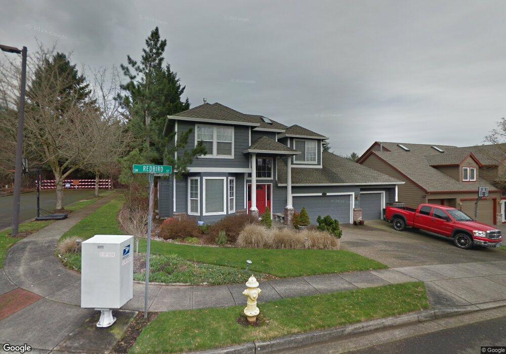
15765 SW Red Bird St Beaverton, OR 97007
Neighbors Southwest NeighborhoodEstimated Value: $728,000 - $805,293
3
Beds
3
Baths
3,027
Sq Ft
$254/Sq Ft
Est. Value
About This Home
This home is located at 15765 SW Red Bird St, Beaverton, OR 97007 and is currently estimated at $767,573, approximately $253 per square foot. 15765 SW Red Bird St is a home located in Washington County with nearby schools including Scholls Heights Elementary School, Conestoga Middle School, and Mountainside High School.
Ownership History
Date
Name
Owned For
Owner Type
Purchase Details
Closed on
Sep 9, 1997
Sold by
Matrix Development Corp
Bought by
Boatright Toni A and Boatright Lisa K
Current Estimated Value
Home Financials for this Owner
Home Financials are based on the most recent Mortgage that was taken out on this home.
Original Mortgage
$173,000
Interest Rate
6.92%
Create a Home Valuation Report for This Property
The Home Valuation Report is an in-depth analysis detailing your home's value as well as a comparison with similar homes in the area
Home Values in the Area
Average Home Value in this Area
Purchase History
| Date | Buyer | Sale Price | Title Company |
|---|---|---|---|
| Boatright Toni A | $251,759 | First American Title Ins Co |
Source: Public Records
Mortgage History
| Date | Status | Borrower | Loan Amount |
|---|---|---|---|
| Previous Owner | Boatright Toni A | $173,000 |
Source: Public Records
Tax History Compared to Growth
Tax History
| Year | Tax Paid | Tax Assessment Tax Assessment Total Assessment is a certain percentage of the fair market value that is determined by local assessors to be the total taxable value of land and additions on the property. | Land | Improvement |
|---|---|---|---|---|
| 2026 | $9,642 | $470,730 | -- | -- |
| 2025 | $9,642 | $457,020 | -- | -- |
| 2024 | $9,104 | $443,710 | -- | -- |
| 2023 | $9,104 | $430,790 | $0 | $0 |
| 2022 | $8,713 | $430,790 | $0 | $0 |
| 2021 | $8,408 | $406,070 | $0 | $0 |
| 2020 | $8,152 | $394,250 | $0 | $0 |
| 2019 | $7,894 | $382,770 | $0 | $0 |
| 2018 | $7,643 | $371,630 | $0 | $0 |
| 2017 | $7,357 | $360,810 | $0 | $0 |
| 2016 | $7,101 | $350,310 | $0 | $0 |
| 2015 | $6,837 | $340,110 | $0 | $0 |
| 2014 | $6,692 | $330,210 | $0 | $0 |
Source: Public Records
Map
Nearby Homes
- 15598 SW Wren Ln
- 15557 SW Wren Ln
- 15702 SW Snowy Owl Ln
- 15620 SW Snowy Owl Ln
- 15900 SW Snowy Owl Ln
- 15465 SW Sparrow Loop Unit 102
- 12697 SW Canvasback Way
- 12365 Curlew Way
- 12450 Curlew Way
- 15205 SW Warbler Way Unit 104
- 16140 SW Puffin Ct
- 12420 SW Harlequin Dr
- 15188 SW Canyon Wren Way
- 15095 SW Warbler Way Unit 101
- 11880 SW Horizon Blvd
- 11280 SW Pintail Loop
- 16590 SW High Hill Ln
- 15365 SW Mallard Dr Unit 104
- 15416 SW Mallard Dr Unit 104
- 12263 SW Bittern Terrace
- 15745 SW Red Bird St
- 15736 SW Wren Ln
- 15725 SW Red Bird St
- 15725 SW Redbird St
- 11825 SW Turnstone Ave
- 11845 SW Turnstone Ave
- 15728 SW Wren Ln
- 15716 SW Wren Ln
- 11910 SW Turnstone Ave
- 15754 SW Wren Ln
- 11865 SW Turnstone Ave
- 15638 SW Wren Ln
- 15730 SW Red Bird St
- 15675 SW Red Bird St
- 15768 SW Wren Ln
- 15626 SW Wren Ln
- 11915 SW Turnstone Ave
- 11930 SW Turnstone Ave
- 15733 SW Wren Ln
- 11935 SW Pelican Way