15770 Seaside Ct Brookings, OR 97415
Estimated Value: $1,068,971 - $1,187,000
2
Beds
2
Baths
3,750
Sq Ft
$301/Sq Ft
Est. Value
About This Home
This home is located at 15770 Seaside Ct, Brookings, OR 97415 and is currently estimated at $1,127,986, approximately $300 per square foot. 15770 Seaside Ct is a home located in Curry County with nearby schools including Kalmiopsis Elementary School, Azalea Middle School, and Brookings-Harbor High School.
Ownership History
Date
Name
Owned For
Owner Type
Purchase Details
Closed on
Jul 1, 2008
Sold by
Huff Richard L and Pickett Jolene S
Bought by
Huff Richard L and Pickett Jolene S
Current Estimated Value
Purchase Details
Closed on
Apr 28, 2008
Sold by
Lawrence Janyce E and Lawrence Jim E
Bought by
Huff Richard L and Pickett Jolene S
Home Financials for this Owner
Home Financials are based on the most recent Mortgage that was taken out on this home.
Original Mortgage
$235,000
Outstanding Balance
$143,851
Interest Rate
5.25%
Mortgage Type
Adjustable Rate Mortgage/ARM
Estimated Equity
$984,135
Create a Home Valuation Report for This Property
The Home Valuation Report is an in-depth analysis detailing your home's value as well as a comparison with similar homes in the area
Home Values in the Area
Average Home Value in this Area
Purchase History
| Date | Buyer | Sale Price | Title Company |
|---|---|---|---|
| Huff Richard L | -- | Curry County Title | |
| Huff Richard L | $815,000 | Curry County Title Inc |
Source: Public Records
Mortgage History
| Date | Status | Borrower | Loan Amount |
|---|---|---|---|
| Open | Huff Richard L | $235,000 | |
| Open | Huff Richard L | $417,000 |
Source: Public Records
Tax History Compared to Growth
Tax History
| Year | Tax Paid | Tax Assessment Tax Assessment Total Assessment is a certain percentage of the fair market value that is determined by local assessors to be the total taxable value of land and additions on the property. | Land | Improvement |
|---|---|---|---|---|
| 2024 | $3,747 | $621,350 | -- | -- |
| 2023 | $3,639 | $603,260 | $0 | $0 |
| 2022 | $3,535 | $585,690 | -- | -- |
| 2021 | $3,434 | $568,640 | $0 | $0 |
| 2020 | $3,665 | $552,080 | $0 | $0 |
| 2019 | $3,269 | $536,000 | $0 | $0 |
| 2018 | $3,543 | $520,390 | $0 | $0 |
| 2017 | $3,400 | $501,320 | $0 | $0 |
| 2016 | $3,359 | $509,670 | $0 | $0 |
| 2015 | $3,195 | $486,350 | $0 | $0 |
| 2014 | $3,195 | $468,370 | $0 | $0 |
Source: Public Records
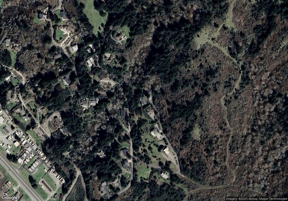
Map
Nearby Homes
- 0 Upper Benham Ln Unit 100481686
- 0 Upper Benham Ln Unit 300 380814467
- 0 Pelican Bay Dr Unit 900 412485014
- 15609 Highway 101 S
- 15780 Pelican Bay Dr
- 15765 Highway 101 S Unit 9
- 98609 Camellia Dr
- 98620 Camellia Dr
- 0 Oceanview Dr Unit 387796081
- 98707 Woodriff Ln
- 15819 U S 101
- 15289 Oceanview Dr
- 0 Harbor Hills Heights Unit 308 752763405
- 15908 Pelican Bay Dr
- 15505 Oceanview Dr Unit 16
- 15870 Pedrioli Dr
- 15422 Southwind Ln
- 98126 W Benham Ln Unit 68
- 98126 W Benham Ln Unit 7
- 98126 W Benham Ln Unit 14
- 15646 Seaside Ct
- 15620 Napa Ln
- 15610 Seaside Ct
- 15659 Upper Benham Ln
- 15662 Upper Benham Ln
- 15715 Napa Ln
- 15670 Upper Benham Ln
- 15584 Seaside Ct
- 15608 Napa Ln
- 0 Napa Ln
- 15702 Napa Ln
- 15735 Napa Ln
- 15579 Pelican Bay Dr
- 15676 Upper Benham Ln
- 0 Harbor Vista Dr
- 15720 Napa Ln
- 0 Napa Ln Unit 4100 21019144
- 0 Napa Ln Unit 20170385
- 0 Napa Ln Unit 4200 20472993
- 0 Napa Ln Unit 4100 20078203