15770 SW 133rd Ave Portland, OR 97224
Bull Mountain NeighborhoodEstimated Value: $847,000 - $979,296
4
Beds
5
Baths
2,560
Sq Ft
$358/Sq Ft
Est. Value
About This Home
This home is located at 15770 SW 133rd Ave, Portland, OR 97224 and is currently estimated at $916,324, approximately $357 per square foot. 15770 SW 133rd Ave is a home located in Washington County with nearby schools including Deer Creek Elementary School, Twality Middle School, and Tualatin High School.
Ownership History
Date
Name
Owned For
Owner Type
Purchase Details
Closed on
Jul 19, 2016
Sold by
Light Karen
Bought by
Harmon Katie
Current Estimated Value
Home Financials for this Owner
Home Financials are based on the most recent Mortgage that was taken out on this home.
Original Mortgage
$417,000
Outstanding Balance
$332,462
Interest Rate
3.54%
Mortgage Type
New Conventional
Estimated Equity
$583,862
Purchase Details
Closed on
Nov 15, 2004
Sold by
Light Sally J
Bought by
Light Sally J and Light Harold L
Create a Home Valuation Report for This Property
The Home Valuation Report is an in-depth analysis detailing your home's value as well as a comparison with similar homes in the area
Home Values in the Area
Average Home Value in this Area
Purchase History
| Date | Buyer | Sale Price | Title Company |
|---|---|---|---|
| Harmon Katie | $562,000 | First American | |
| Light Sally J | -- | -- |
Source: Public Records
Mortgage History
| Date | Status | Borrower | Loan Amount |
|---|---|---|---|
| Open | Harmon Katie | $417,000 |
Source: Public Records
Tax History Compared to Growth
Tax History
| Year | Tax Paid | Tax Assessment Tax Assessment Total Assessment is a certain percentage of the fair market value that is determined by local assessors to be the total taxable value of land and additions on the property. | Land | Improvement |
|---|---|---|---|---|
| 2025 | $9,179 | $586,000 | -- | -- |
| 2024 | $8,935 | $568,940 | -- | -- |
| 2023 | $8,935 | $552,370 | $0 | $0 |
| 2022 | $8,597 | $552,370 | $0 | $0 |
| 2021 | $8,278 | $520,670 | $0 | $0 |
| 2020 | $8,136 | $505,510 | $0 | $0 |
| 2019 | $7,910 | $490,790 | $0 | $0 |
| 2018 | $7,577 | $476,500 | $0 | $0 |
| 2017 | $7,295 | $462,630 | $0 | $0 |
| 2016 | $6,944 | $449,160 | $0 | $0 |
| 2015 | $6,654 | $436,080 | $0 | $0 |
| 2014 | $6,457 | $423,380 | $0 | $0 |
Source: Public Records
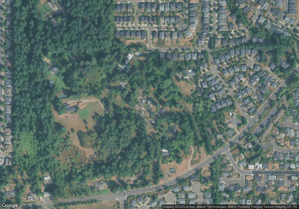
Map
Nearby Homes
- 13058 SW Black Walnut St
- 15655 SW Greenfield Dr
- 12998 SW Kostel Ln
- 15990 SW 133rd Ave
- 16051 SW Refectory Place
- 12720 SW Prince Albert St
- 16139 SW 130th Terrace Unit 38
- 15760 SW Peachtree Dr
- 12630 SW Prince Albert St
- 12719 SW Bexley Ln
- 15135 SW Albany Terrace
- 13636 SW Willow Top Ln
- 12400 SW Beef Bend Rd
- 16333 SW 129th Terrace
- 13255 SW Hazelcrest Way
- 14992 SW Lookout Dr
- 12473 SW King George Dr
- 16045 SW Queen Victoria Place
- 12483 SW Autumn View St
- 14925 SW 133rd Ave
- 15780 SW 133rd Ave
- 15650 SW 133rd Ave
- 12905 SW Beef Bend Rd
- 12998 SW Pine View St
- 15550 SW 133rd Ave
- 12984 SW Pine View St
- 12855 SW Beef Bend Rd
- 12975 SW Beef Bend Rd
- 12958 SW Pine View St
- 12888 SW Da Vinci Ln
- 12920 SW Pine View St
- 12876 SW Da Vinci Ln
- 12898 SW Pine View St
- 12867 SW Da Vinci Ln
- 12813 SW Rembrandt Ln
- 12822 SW Rembrandt Ln
- 12856 SW Da Vinci Ln
- 12892 SW Pine View St
- 12994 SW Black Walnut St
- 15605 SW Greenfield Dr