15771 State Route 301 Lagrange, OH 44050
Estimated Value: $605,000 - $801,000
4
Beds
3
Baths
3,231
Sq Ft
$208/Sq Ft
Est. Value
About This Home
This home is located at 15771 State Route 301, Lagrange, OH 44050 and is currently estimated at $672,563, approximately $208 per square foot. 15771 State Route 301 is a home located in Lorain County with nearby schools including Keystone Elementary School, Keystone Middle School, and Keystone High School.
Ownership History
Date
Name
Owned For
Owner Type
Purchase Details
Closed on
Jul 26, 2004
Sold by
Palmieri Linda L
Bought by
Palmieri Dominic E
Current Estimated Value
Purchase Details
Closed on
Apr 26, 2002
Sold by
Hiltz Murray L and Hiltz Adele R
Bought by
Palmieri Dominic E and Palmieri Linda L
Create a Home Valuation Report for This Property
The Home Valuation Report is an in-depth analysis detailing your home's value as well as a comparison with similar homes in the area
Home Values in the Area
Average Home Value in this Area
Purchase History
| Date | Buyer | Sale Price | Title Company |
|---|---|---|---|
| Palmieri Dominic E | -- | -- | |
| Palmieri Dominic E | $305,000 | Lorain County Title Co Inc |
Source: Public Records
Tax History Compared to Growth
Tax History
| Year | Tax Paid | Tax Assessment Tax Assessment Total Assessment is a certain percentage of the fair market value that is determined by local assessors to be the total taxable value of land and additions on the property. | Land | Improvement |
|---|---|---|---|---|
| 2024 | $6,853 | $167,503 | $45,878 | $121,625 |
| 2023 | $6,691 | $136,777 | $45,290 | $91,487 |
| 2022 | $6,643 | $136,777 | $45,290 | $91,487 |
| 2021 | $6,645 | $136,777 | $45,290 | $91,487 |
| 2020 | $5,874 | $107,780 | $35,690 | $72,090 |
| 2019 | $5,838 | $107,780 | $35,690 | $72,090 |
| 2018 | $5,696 | $107,780 | $35,690 | $72,090 |
| 2017 | $5,726 | $101,590 | $31,430 | $70,160 |
| 2016 | $5,686 | $101,590 | $31,430 | $70,160 |
| 2015 | $5,677 | $101,590 | $31,430 | $70,160 |
| 2014 | $4,686 | $95,850 | $29,660 | $66,190 |
| 2013 | $4,541 | $95,850 | $29,660 | $66,190 |
Source: Public Records
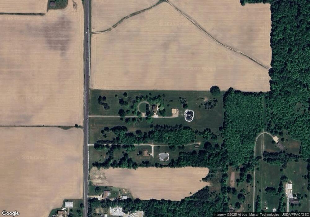
Map
Nearby Homes
- 756 N Center St
- 40725 Biggs Rd
- 829 Robinson Dr
- 831 Robinson Dr
- 822 Robinson Dr
- 808 Buckingham Dr
- 800 Buckingham Dr
- 630 Rundle St
- 128 Harvest Ct
- 548 William St
- 607 Rundle St
- 516 Appomattox Ct
- 171 Keywood Blvd
- 433 N Center St
- 0 Dill Ct Unit 5072837
- 194 Railroad St
- 41635 Parsons Rd
- 110 Railroad St
- 40175 Banks Rd
- 40185 Banks Rd
- 15861 State Route 301
- 0 Lagrange Rd
- 15917 State Route 301
- 15957 State Route 301
- 0 Biggs Rd
- 40688 40702 Biggs Rd
- 40750 Biggs Rd
- 801 N Center St
- 40700 Biggs Rd
- 19070 Lagrange Rd
- 40897 Biggs Rd
- 40849 Biggs Rd
- 15576 State Route 301
- 40801 Biggs Rd
- 40763 Biggs Rd
- 40674 Biggs Rd
- 40702 Biggs Rd
- 15552 State Route 301
- 40688 Biggs Rd
- 40636 Biggs Rd