15774 S Rolling Bluff Dr Draper, UT 84020
Estimated Value: $1,127,000 - $1,258,000
4
Beds
3
Baths
4,400
Sq Ft
$271/Sq Ft
Est. Value
About This Home
This home is located at 15774 S Rolling Bluff Dr, Draper, UT 84020 and is currently estimated at $1,191,351, approximately $270 per square foot. 15774 S Rolling Bluff Dr is a home located in Utah County with nearby schools including Ridgeline Elementary School, Timberline Middle School, and Lone Peak High School.
Ownership History
Date
Name
Owned For
Owner Type
Purchase Details
Closed on
Dec 12, 2022
Sold by
Lyman Cory and Lyman Janene
Bought by
Cory And Janene Lyman Family Trust
Current Estimated Value
Purchase Details
Closed on
Jan 31, 2020
Sold by
Eagle Pointe Builders Llc
Bought by
Lyman Cory and Lyman Janene
Home Financials for this Owner
Home Financials are based on the most recent Mortgage that was taken out on this home.
Original Mortgage
$389,000
Interest Rate
3.7%
Mortgage Type
VA
Purchase Details
Closed on
Nov 10, 2015
Sold by
Eagle Point Developers Lc
Bought by
Eagle Point Developers Llc
Home Financials for this Owner
Home Financials are based on the most recent Mortgage that was taken out on this home.
Original Mortgage
$350,000
Interest Rate
3.81%
Mortgage Type
New Conventional
Create a Home Valuation Report for This Property
The Home Valuation Report is an in-depth analysis detailing your home's value as well as a comparison with similar homes in the area
Home Values in the Area
Average Home Value in this Area
Purchase History
| Date | Buyer | Sale Price | Title Company |
|---|---|---|---|
| Cory And Janene Lyman Family Trust | -- | -- | |
| Lyman Cory | -- | Pinnacle Title | |
| Eagle Point Developers Llc | -- | Pinnacle Title |
Source: Public Records
Mortgage History
| Date | Status | Borrower | Loan Amount |
|---|---|---|---|
| Previous Owner | Lyman Cory | $389,000 | |
| Previous Owner | Eagle Point Developers Llc | $350,000 |
Source: Public Records
Tax History
| Year | Tax Paid | Tax Assessment Tax Assessment Total Assessment is a certain percentage of the fair market value that is determined by local assessors to be the total taxable value of land and additions on the property. | Land | Improvement |
|---|---|---|---|---|
| 2025 | $398 | $546,315 | -- | -- |
| 2024 | $398 | $547,305 | $0 | $0 |
| 2023 | $773 | $566,830 | $0 | $0 |
| 2022 | $2,042 | $508,970 | $0 | $0 |
| 2021 | $1,033 | $679,600 | $213,100 | $466,500 |
| 2020 | $3,882 | $654,500 | $170,500 | $484,000 |
| 2019 | $1,773 | $170,500 | $170,500 | $0 |
| 2018 | $1,667 | $152,200 | $152,200 | $0 |
| 2017 | $1,620 | $143,100 | $0 | $0 |
| 2016 | $1,581 | $130,900 | $0 | $0 |
| 2015 | $1,536 | $119,900 | $0 | $0 |
| 2014 | $1,343 | $109,600 | $0 | $0 |
Source: Public Records
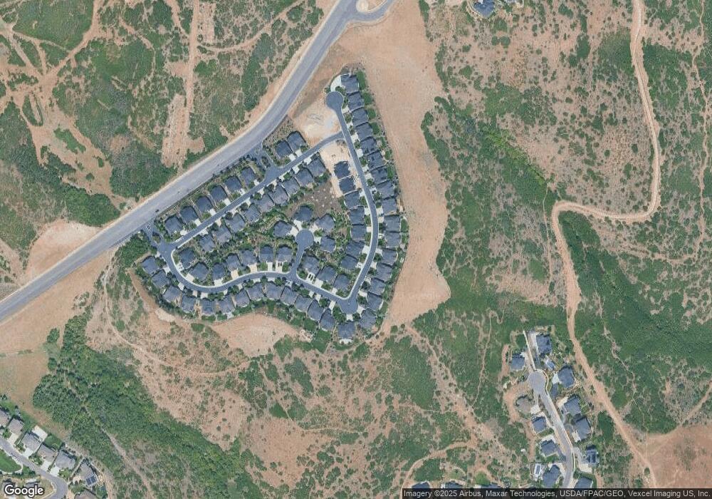
Map
Nearby Homes
- 15734 Rolling Bluff Dr
- 2203 E Fair Winns Ln
- 2154 E Viscaya Dr
- 15574 S Mercer Ct Unit 502
- 15579 S Mercer Ct
- 2116 Falcon Ridge Dr
- 2043 E Brookings Dr
- 2087 Eagle Crest Dr
- 15219 Eagle Crest Dr Unit 141
- 16065 Timber Brook Dr E
- 1887 Chimney Stone Rd
- 15193 S Eagle Crest Dr Unit 141
- 16073 Fielding Hill Ln
- 1871 E Chimney Stone Ct
- 16072 S Fielding Hill Ln E Unit 1001
- 15211 S Tall Woods Dr Unit 24
- 12219 N Bridgegate Way
- 12184 N Bridgegate Way
- 6474 W Carrick Way
- 14948 S Springtime Rd
- 15784 S Rolling Bluff Dr
- 15764 S Rolling Bluff Dr Unit 657
- 15769 S Nested Cove
- 15754 Rolling Bluff Dr
- 15787 Rolling Bluff Dr
- 15777 S Rolling Bluff Dr Unit 622
- 15787 S Rolling Bluff Dr Unit 623
- 15787 S Rolling Bluff Dr
- 2243 E Viscaya Dr
- 2237 E Viscaya Dr
- 15767 S Rolling Bluff Dr Unit 621
- 15767 S Rolling Bluff Dr
- 15767 Rolling Bluff Dr
- 15797 S Rolling Bluff Dr Unit 624
- 15797 S Rolling Bluff Dr
- 15797 S Rolling Bluff Dr
- 15797 S Rolling Bluff Dr Unit 624
- 15757 Rolling Bluff Dr
- 15753 S Nested Cove Unit 650
- 2229 Viscaya Dr
Your Personal Tour Guide
Ask me questions while you tour the home.