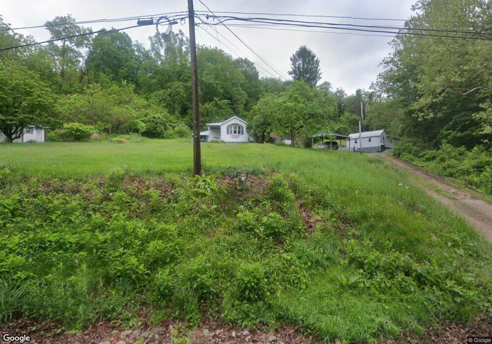
1578 Grange Rd Charleroi, PA 15022
Fallowfield Township NeighborhoodEstimated Value: $100,000 - $144,004
2
Beds
1
Bath
1,171
Sq Ft
$102/Sq Ft
Est. Value
About This Home
This home is located at 1578 Grange Rd, Charleroi, PA 15022 and is currently estimated at $119,501, approximately $102 per square foot. 1578 Grange Rd is a home located in Washington County with nearby schools including Charleroi Elementary Center, Charleroi Area Middle School, and Charleroi Area High School.
Ownership History
Date
Name
Owned For
Owner Type
Purchase Details
Closed on
Mar 17, 2009
Sold by
Keith Board
Bought by
Opferman Robert T
Current Estimated Value
Home Financials for this Owner
Home Financials are based on the most recent Mortgage that was taken out on this home.
Original Mortgage
$67,550
Outstanding Balance
$42,975
Interest Rate
5.14%
Mortgage Type
New Conventional
Estimated Equity
$76,526
Create a Home Valuation Report for This Property
The Home Valuation Report is an in-depth analysis detailing your home's value as well as a comparison with similar homes in the area
Home Values in the Area
Average Home Value in this Area
Purchase History
| Date | Buyer | Sale Price | Title Company |
|---|---|---|---|
| Opferman Robert T | $64,000 | -- |
Source: Public Records
Mortgage History
| Date | Status | Borrower | Loan Amount |
|---|---|---|---|
| Open | Opferman Robert T | $67,550 |
Source: Public Records
Tax History Compared to Growth
Tax History
| Year | Tax Paid | Tax Assessment Tax Assessment Total Assessment is a certain percentage of the fair market value that is determined by local assessors to be the total taxable value of land and additions on the property. | Land | Improvement |
|---|---|---|---|---|
| 2025 | $1,561 | $66,300 | $25,000 | $41,300 |
| 2024 | $1,507 | $66,300 | $25,000 | $41,300 |
| 2023 | $1,507 | $66,300 | $25,000 | $41,300 |
| 2022 | $1,450 | $66,300 | $25,000 | $41,300 |
| 2021 | $1,450 | $66,300 | $25,000 | $41,300 |
| 2020 | $1,407 | $66,300 | $25,000 | $41,300 |
| 2019 | $1,371 | $66,300 | $25,000 | $41,300 |
| 2018 | $1,335 | $66,300 | $25,000 | $41,300 |
| 2017 | $130 | $66,300 | $25,000 | $41,300 |
| 2016 | $130 | $5,226 | $548 | $4,678 |
| 2015 | -- | $5,226 | $548 | $4,678 |
| 2014 | $130 | $5,226 | $548 | $4,678 |
| 2013 | $130 | $5,226 | $548 | $4,678 |
Source: Public Records
Map
Nearby Homes
- 106 Level St
- 9 Meadow Dr
- 30 Evans Rd
- 0 Park Ave
- 200 Piersol Ave
- 000 Bentleyville Rd
- 227 Johnston Rd
- 0 Piersol Ave
- 801 Main St
- 265 Johnston Rd
- 118 Piersol Ave
- 102 Lincoln Ave
- 959 Bentleyville Rd
- 104 Piersol Ave
- 109 Beallsville Rd
- 0 Wood St
- 102 Forrest St
- 138 Crossridge Rd
- 321 Beallsville Rd
- 321 Beallsville Rd Unit LOT 18