Estimated Value: $762,000 - $1,065,000
3
Beds
3
Baths
4,195
Sq Ft
$208/Sq Ft
Est. Value
About This Home
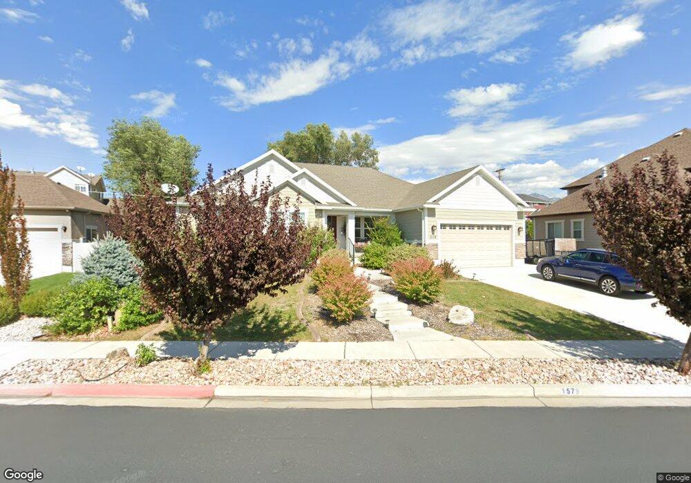
This home is located at 1579 E 280 N Unit 12, Lehi, UT 84043 and is currently estimated at $873,832, approximately $208 per square foot. 1579 E 280 N Unit 12 is a home located in Utah County with nearby schools including Sego Lily Elementary School, Lehi Junior High School, and Skyridge High School.
Ownership History
Date
Name
Owned For
Owner Type
Purchase Details
Closed on
Jan 20, 2015
Sold by
Smith Kenneth Y and Smith Janice R
Bought by
The Smith Living Trust
Current Estimated Value
Purchase Details
Closed on
Jul 30, 2013
Sold by
Bd Homes Lehi Llc
Bought by
Smith Kenneth Y and Smith Janice R
Purchase Details
Closed on
Sep 4, 2012
Sold by
Wsum Llc
Bought by
Bd Homes Lehi Llc
Create a Home Valuation Report for This Property
The Home Valuation Report is an in-depth analysis detailing your home's value as well as a comparison with similar homes in the area
Home Values in the Area
Average Home Value in this Area
Purchase History
| Date | Buyer | Sale Price | Title Company |
|---|---|---|---|
| The Smith Living Trust | -- | None Available | |
| Smith Kenneth Y | -- | Affiliated First Title Co | |
| Bd Homes Lehi Llc | -- | Affiliated First Title Compa |
Source: Public Records
Tax History Compared to Growth
Tax History
| Year | Tax Paid | Tax Assessment Tax Assessment Total Assessment is a certain percentage of the fair market value that is determined by local assessors to be the total taxable value of land and additions on the property. | Land | Improvement |
|---|---|---|---|---|
| 2025 | $3,418 | $442,420 | $291,700 | $512,700 |
| 2024 | $3,418 | $399,960 | $0 | $0 |
| 2023 | $3,179 | $403,975 | $0 | $0 |
| 2022 | $3,398 | $418,550 | $0 | $0 |
| 2021 | $3,055 | $568,900 | $168,800 | $400,100 |
| 2020 | $2,880 | $530,200 | $156,300 | $373,900 |
| 2019 | $2,545 | $487,000 | $156,300 | $330,700 |
| 2018 | $2,506 | $453,300 | $138,100 | $315,200 |
| 2017 | $2,520 | $242,385 | $0 | $0 |
| 2016 | $2,546 | $227,205 | $0 | $0 |
| 2015 | $2,622 | $222,090 | $0 | $0 |
| 2014 | $2,568 | $216,260 | $0 | $0 |
Source: Public Records
Map
Nearby Homes
- 901 N Lakota Rd
- 418 N 1322 E
- 328 N 1270 E
- 822 N 860 W Unit 317
- 822 W 800 St N Unit LOT319
- 962 N 780 St W Unit 508
- 974 N 780 St W Unit 509
- 916 N 780 St W Unit 501
- 458 N 1100 E Unit 3
- 595 N 1200 E
- 3935 W 1000 N Unit 438
- 3983 W 1000 N Unit 442
- 4007 W 1000 N
- 3947 W 1000 N Unit 439
- 3959 W 1000 N
- 1036 E 310 N Unit K1
- 893 N 1580 E
- 777 W State Rd
- 602 W 860 N
- 735 N 1000 E
- 1601 E 280 N Unit 13
- 1559 E 280 N
- 1578 E 330 N
- 1604 E 330 N
- 1556 E 330 N
- 1564 E 280 N Unit 3
- 301 N 1650 E Unit 15
- 1596 E 280 N Unit 4
- 1596 E 280 N
- 1635 E 280 N
- 1552 E 280 N Unit 2
- 1622 E 280 N Unit 5
- 350 N 1580 E
- 1561 E 330 N
- 1524 E 330 N Unit 134
- 281 N 1550 E
- 1541 E 330 N
- 1012 W 750 N
- 302 N 1650 E
- 296 N 1650 E