Estimated Value: $1,002,000 - $1,408,366
3
Beds
4
Baths
2,815
Sq Ft
$427/Sq Ft
Est. Value
About This Home
This home is located at 1579 W 350 N, Lehi, UT 84043 and is currently estimated at $1,203,092, approximately $427 per square foot. 1579 W 350 N is a home with nearby schools including River Rock Elementary, Willowcreek Middle School, and Lehi High School.
Ownership History
Date
Name
Owned For
Owner Type
Purchase Details
Closed on
Mar 10, 2023
Sold by
Killpack Amelia
Bought by
Matthew & Amelia Killpack Family Trust
Current Estimated Value
Purchase Details
Closed on
Feb 8, 2016
Sold by
Foster Construction Llc
Bought by
Killpack Matthew and Killpack Amelia
Home Financials for this Owner
Home Financials are based on the most recent Mortgage that was taken out on this home.
Original Mortgage
$538,681
Interest Rate
3.97%
Mortgage Type
Construction
Create a Home Valuation Report for This Property
The Home Valuation Report is an in-depth analysis detailing your home's value as well as a comparison with similar homes in the area
Home Values in the Area
Average Home Value in this Area
Purchase History
| Date | Buyer | Sale Price | Title Company |
|---|---|---|---|
| Matthew & Amelia Killpack Family Trust | -- | -- | |
| Killpack Matthew | -- | Utah First Title Ins Ag |
Source: Public Records
Mortgage History
| Date | Status | Borrower | Loan Amount |
|---|---|---|---|
| Previous Owner | Killpack Matthew | $538,681 |
Source: Public Records
Tax History Compared to Growth
Tax History
| Year | Tax Paid | Tax Assessment Tax Assessment Total Assessment is a certain percentage of the fair market value that is determined by local assessors to be the total taxable value of land and additions on the property. | Land | Improvement |
|---|---|---|---|---|
| 2025 | $4,935 | $667,480 | $352,900 | $860,700 |
| 2024 | $4,935 | $577,555 | $0 | $0 |
| 2023 | $7,972 | $1,013,000 | $0 | $0 |
| 2022 | $7,466 | $919,700 | $326,700 | $593,000 |
| 2021 | $3,692 | $687,500 | $204,200 | $483,300 |
| 2020 | $3,481 | $640,800 | $189,100 | $451,700 |
| 2019 | $3,349 | $640,800 | $189,100 | $451,700 |
| 2018 | $3,392 | $613,600 | $185,000 | $428,600 |
| 2017 | $3,097 | $297,880 | $0 | $0 |
| 2016 | $1,567 | $139,800 | $0 | $0 |
Source: Public Records
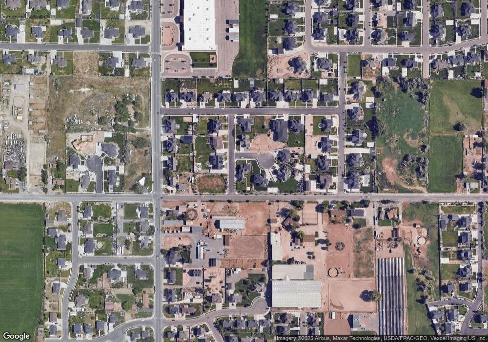
Map
Nearby Homes
- 161 S 1475 W
- 131 S 1900 W Unit 2
- 1215 W 125 S
- 2162 W Main St Unit E303
- 2178 W Main St Unit D301
- 1784 W Grays Place
- 1743 W Grays Place
- 41 N 2150 W
- 380 S 1500 W
- 202 S 2035 W
- 1356 W 425 S
- 374 S 1330 West St
- 1031 W 125 St S
- 1035 W Main St
- 1379 W 425 S
- 1363 W 425 S
- The Annie Plan at Longhorn Meadows
- The Kaitlyn Plan at Longhorn Meadows
- The Autumn Plan at Longhorn Meadows
- The Aurora Plan at Longhorn Meadows
- 1557 W 350 N
- 1576 W 350 N
- 4460 W 8800 N
- 9656 W 8800 N
- 2200 W 8800 N
- 2150 W 8800 N
- 1539 W 350 N
- 384 N 1600 W
- 361 N 1600 W Unit 21
- 1521 W 350 N
- 1515 W 400 N Unit 29
- 1515 W 400 N
- 333 N 1600 W
- 387 N 1600 W Unit 22
- 334 N 1700 W Unit 18
- 1501 W 400 N Unit 30
- 318 N 1700 W Unit 19
- 318 N 1700 W
- 362 N 1700 W
- 9031 W 8800 N