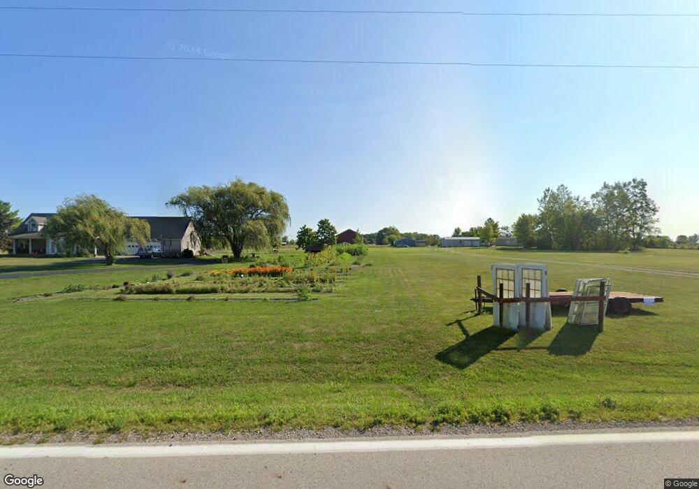
15790 State Route 56 W Mount Sterling, OH 43143
Estimated Value: $384,000 - $466,000
4
Beds
3
Baths
2,275
Sq Ft
$188/Sq Ft
Est. Value
About This Home
This home is located at 15790 State Route 56 W, Mount Sterling, OH 43143 and is currently estimated at $427,471, approximately $187 per square foot. 15790 State Route 56 W is a home located in Pickaway County with nearby schools including Westfall Elementary School, Westfall Middle School, and Westfall High School.
Ownership History
Date
Name
Owned For
Owner Type
Purchase Details
Closed on
Dec 13, 2024
Sold by
Hales Brooks and Hales Rebecca
Bought by
Brandon & Becca Brooks Trust and Brooks
Current Estimated Value
Purchase Details
Closed on
Jan 18, 2022
Sold by
Brickles Greg L and Brickles Linda K
Bought by
Brooks Brandon and Brooks Rebecca Hales
Home Financials for this Owner
Home Financials are based on the most recent Mortgage that was taken out on this home.
Original Mortgage
$333,592
Interest Rate
3.22%
Mortgage Type
VA
Create a Home Valuation Report for This Property
The Home Valuation Report is an in-depth analysis detailing your home's value as well as a comparison with similar homes in the area
Home Values in the Area
Average Home Value in this Area
Purchase History
| Date | Buyer | Sale Price | Title Company |
|---|---|---|---|
| Brandon & Becca Brooks Trust | -- | None Listed On Document | |
| Brandon & Becca Brooks Trust | -- | None Listed On Document | |
| Brandon & Becca Brooks Trust | -- | None Listed On Document | |
| Brooks Brandon | $322,000 | Valmer Land Title |
Source: Public Records
Mortgage History
| Date | Status | Borrower | Loan Amount |
|---|---|---|---|
| Previous Owner | Brooks Brandon | $333,592 |
Source: Public Records
Tax History Compared to Growth
Tax History
| Year | Tax Paid | Tax Assessment Tax Assessment Total Assessment is a certain percentage of the fair market value that is determined by local assessors to be the total taxable value of land and additions on the property. | Land | Improvement |
|---|---|---|---|---|
| 2024 | -- | $110,210 | $31,290 | $78,920 |
| 2023 | $3,515 | $110,210 | $31,290 | $78,920 |
| 2022 | $2,582 | $78,320 | $24,690 | $53,630 |
| 2021 | $2,609 | $78,320 | $24,690 | $53,630 |
| 2020 | $2,612 | $78,320 | $24,690 | $53,630 |
| 2019 | $2,036 | $65,130 | $22,600 | $42,530 |
| 2018 | $2,085 | $65,130 | $22,600 | $42,530 |
| 2017 | $2,197 | $65,130 | $22,600 | $42,530 |
| 2016 | $1,986 | $61,420 | $19,600 | $41,820 |
| 2015 | $2,028 | $61,420 | $19,600 | $41,820 |
| 2014 | $2,048 | $61,420 | $19,600 | $41,820 |
| 2013 | $2,137 | $59,420 | $17,600 | $41,820 |
Source: Public Records
Map
Nearby Homes
- 15561 Blain Rd
- 500 Wingate Place N
- 67 W Columbus St
- 60 N London St
- 230 W Columbus St
- 16185 State Route 207
- 223 W Main St
- 233 W Main St
- 94 Jefferson St
- 233 Rosewood Ave
- 178 Poplar St
- 14035 Woods Opossum Run Rd Unit R
- 8713 State Route 207
- 16270 Cook Yankeetown Rd NE
- 12265 Woods Opossum Run
- 12343 State Route 316
- 11850 Woods Opossum
- 11821 State Route 56 W
- 10586 Baldwin Rd
- 11444 Ballah Rd
- 15817 State Route 56 W
- 15762 Ohio 56
- 15850 Ohio 56
- 15705 Blain Rd
- 15687 State Route 56 W
- 15660 State Route 56 W
- 16180 Clarks Run Rd
- 15644 Blain Rd
- 15920 State Route 56 W
- 16220 Clarks Run Rd
- 15625 State Route 56 W
- 15979 Blain Rd
- 16250 Clarks Run Rd
- 15931 Blain Rd
- 16000 State Route 56 W
- 15484 Davis Rd
- 15562 Davis Rd
- 15661 Blain Rd
- 15772 Blain Rd
- 16346 Clarks Run Rd