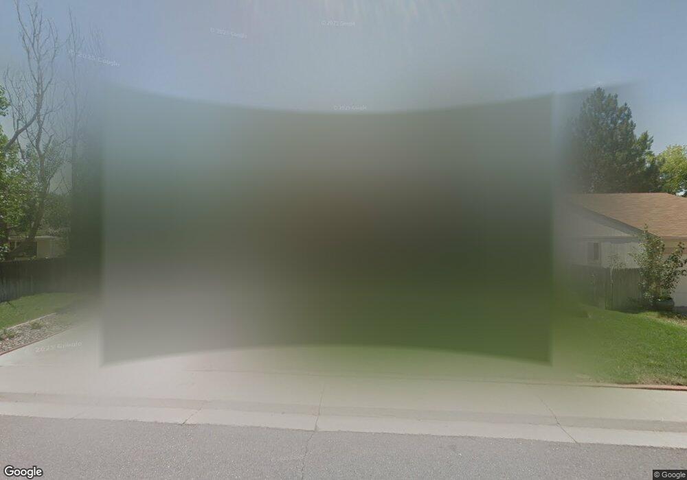
15792 E Tufts Ave Aurora, CO 80015
Pheasant Run NeighborhoodEstimated Value: $490,000 - $515,000
3
Beds
4
Baths
2,652
Sq Ft
$189/Sq Ft
Est. Value
About This Home
This home is located at 15792 E Tufts Ave, Aurora, CO 80015 and is currently estimated at $502,406, approximately $189 per square foot. 15792 E Tufts Ave is a home located in Arapahoe County with nearby schools including Independence Elementary School, Laredo Middle School, and Smoky Hill High School.
Ownership History
Date
Name
Owned For
Owner Type
Purchase Details
Closed on
Aug 13, 2019
Sold by
Smith Thomas H and Smith Jacquelyn M
Bought by
Lanier Heather E
Current Estimated Value
Home Financials for this Owner
Home Financials are based on the most recent Mortgage that was taken out on this home.
Original Mortgage
$319,500
Outstanding Balance
$278,588
Interest Rate
3.8%
Mortgage Type
New Conventional
Estimated Equity
$223,818
Purchase Details
Closed on
Jul 4, 1776
Bought by
Conversion Arapco
Create a Home Valuation Report for This Property
The Home Valuation Report is an in-depth analysis detailing your home's value as well as a comparison with similar homes in the area
Home Values in the Area
Average Home Value in this Area
Purchase History
| Date | Buyer | Sale Price | Title Company |
|---|---|---|---|
| Lanier Heather E | $355,000 | Capital Title | |
| Conversion Arapco | -- | -- |
Source: Public Records
Mortgage History
| Date | Status | Borrower | Loan Amount |
|---|---|---|---|
| Open | Lanier Heather E | $319,500 |
Source: Public Records
Tax History
| Year | Tax Paid | Tax Assessment Tax Assessment Total Assessment is a certain percentage of the fair market value that is determined by local assessors to be the total taxable value of land and additions on the property. | Land | Improvement |
|---|---|---|---|---|
| 2025 | $2,786 | $30,106 | -- | -- |
| 2024 | $2,458 | $35,309 | -- | -- |
| 2023 | $2,458 | $35,309 | $0 | $0 |
| 2022 | $1,897 | $26,007 | $0 | $0 |
| 2021 | $1,908 | $26,007 | $0 | $0 |
| 2020 | $1,726 | $23,882 | $0 | $0 |
| 2019 | $1,167 | $23,882 | $0 | $0 |
| 2018 | $824 | $18,302 | $0 | $0 |
| 2017 | $812 | $18,302 | $0 | $0 |
| 2016 | $728 | $17,297 | $0 | $0 |
| 2015 | $693 | $17,297 | $0 | $0 |
| 2014 | $552 | $13,174 | $0 | $0 |
| 2013 | -- | $14,150 | $0 | $0 |
Source: Public Records
Map
Nearby Homes
- 4607 S Joplin Way
- 15747 E Union Ave
- 4614 S Kalispell Way
- 4638 S Kittredge St
- 4557 S Laredo St
- 15552 E Temple Place
- 4678 S Lewiston Way
- 16229 E Stanford Place
- 16373 E Rice Place Unit B
- 4663 S Fraser Ct Unit E
- 16505 E Stanford Place
- 4586 S Fraser Way
- 4212 S Laredo Way
- 4245 S Granby Way Unit c
- 4229 S Mobile Cir Unit B
- 4221 S Mobile Cir Unit A
- 15463 E Princeton Ave
- 16038 E Oxford Dr
- 4767 S Olathe St
- 16646 E Rice Cir
- 15752 E Tufts Ave
- 4605 S Joplin Way
- 4615 S Joplin Way
- 4617 S Joplin Way
- 15722 E Tufts Ave
- 15791 E Tufts Ave
- 15751 E Tufts Ave
- 15803 E Tufts Ave
- 15711 E Tufts Ave
- 4625 S Joplin Way
- 15712 E Tufts Ave
- 15853 E Tufts Ave
- 4608 S Joplin Way
- 15790 E Stanford Place
- 4606 S Joplin Way
- 15750 E Stanford Place
- 15802 E Stanford Place
- 4618 S Joplin Way
- 15893 E Tufts Ave
- 4627 S Joplin Way