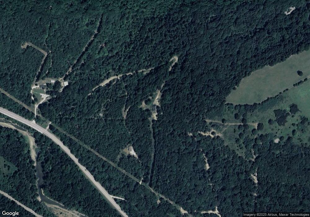
15792 S Highway 71 West Fork, AR 72774
Estimated Value: $324,887 - $424,000
--
Bed
2
Baths
2,112
Sq Ft
$178/Sq Ft
Est. Value
About This Home
This home is located at 15792 S Highway 71, West Fork, AR 72774 and is currently estimated at $376,962, approximately $178 per square foot. 15792 S Highway 71 is a home located in Washington County with nearby schools including West Fork Elementary School, West Fork Middle School, and West Fork High School.
Ownership History
Date
Name
Owned For
Owner Type
Purchase Details
Closed on
Oct 23, 2003
Sold by
Stout Beverly and Henson Carlyon
Bought by
Osborn David and Osborn Dorothy
Current Estimated Value
Home Financials for this Owner
Home Financials are based on the most recent Mortgage that was taken out on this home.
Original Mortgage
$125,000
Interest Rate
6.1%
Mortgage Type
Construction
Purchase Details
Closed on
Jan 1, 1985
Bought by
Standley Clint and Standley Elsie
Create a Home Valuation Report for This Property
The Home Valuation Report is an in-depth analysis detailing your home's value as well as a comparison with similar homes in the area
Home Values in the Area
Average Home Value in this Area
Purchase History
| Date | Buyer | Sale Price | Title Company |
|---|---|---|---|
| Osborn David | $28,000 | -- | |
| Standley Clint | -- | -- |
Source: Public Records
Mortgage History
| Date | Status | Borrower | Loan Amount |
|---|---|---|---|
| Closed | Osborn David | $125,000 | |
| Closed | Osborn David | $125,000 |
Source: Public Records
Tax History Compared to Growth
Tax History
| Year | Tax Paid | Tax Assessment Tax Assessment Total Assessment is a certain percentage of the fair market value that is determined by local assessors to be the total taxable value of land and additions on the property. | Land | Improvement |
|---|---|---|---|---|
| 2025 | $995 | $39,000 | $5,890 | $33,110 |
| 2024 | $1,026 | $39,000 | $5,890 | $33,110 |
| 2023 | $1,039 | $39,000 | $5,890 | $33,110 |
| 2022 | $1,074 | $32,020 | $4,640 | $27,380 |
| 2021 | $1,014 | $32,020 | $4,640 | $27,380 |
| 2020 | $954 | $32,020 | $4,640 | $27,380 |
| 2019 | $896 | $25,320 | $4,190 | $21,130 |
| 2018 | $921 | $25,320 | $4,190 | $21,130 |
| 2017 | $830 | $25,320 | $4,190 | $21,130 |
| 2016 | $884 | $25,320 | $4,190 | $21,130 |
| 2015 | $834 | $25,320 | $4,190 | $21,130 |
| 2014 | $863 | $25,960 | $6,470 | $19,490 |
Source: Public Records
Map
Nearby Homes
- 15558 S Highway 71
- 13829 French Rd
- 13590 Sugar Mountain Rd
- 14211 Sugar Mountain Rd
- 13608 Sugar Mountain Rd
- 16925 Carpenter Rd
- 14416 & 14425 Truelove Rd
- TBD Truelove Rd
- 14642 Truelove Rd
- TBD Brentwood Mountain Rd
- 16618 S Highway 71
- TBD Wooten Rd Rd
- 16712 S Highway 71
- 696 E Thornstone Ave
- 16801 S Highway 71
- 17441 Winn Creek Rd
- 260 Culp Trail
- 14673 Union Star Rd
- 15731 Parker Branch Rd
- 14163 Low Gap Rd
- 13.32 acres Delgado Rd
- 15836 S Highway 71
- 15826 S Highway 71
- 15889 S Highway 71 B
- 15889 S Hwy 71b
- 15889 S Hwy 71 Hwy
- 15770 Walker Hill Rd
- 0 Walker Hill Wc3120 Rd Unit 1068051
- 11754 U S 71
- 15877 Delgado Rd
- 15856 Delgado Rd
- 15912 Jacob Rd
- 15684 S Highway 71
- 15825 Seely Rd
- 15639 S Hwy 71
- 15639 S Highway 71
- 15618 S Highway 71
- 15618 U S 71
- 16099 Mesquite Rd
- 15932 S Highway 71
