15795 Port Sheldon St West Olive, MI 49460
Estimated Value: $552,000 - $718,009
3
Beds
2
Baths
2,286
Sq Ft
$279/Sq Ft
Est. Value
About This Home
This home is located at 15795 Port Sheldon St, West Olive, MI 49460 and is currently estimated at $638,502, approximately $279 per square foot. 15795 Port Sheldon St is a home located in Ottawa County with nearby schools including Sheldon Woods Elementary School, Harbor Lights Middle School, and West Ottawa High School.
Ownership History
Date
Name
Owned For
Owner Type
Purchase Details
Closed on
Jun 22, 2011
Sold by
Carini Robert S and Carini Helle
Bought by
Carini Robert S and Carini Helle
Current Estimated Value
Home Financials for this Owner
Home Financials are based on the most recent Mortgage that was taken out on this home.
Original Mortgage
$143,500
Interest Rate
4.63%
Mortgage Type
New Conventional
Create a Home Valuation Report for This Property
The Home Valuation Report is an in-depth analysis detailing your home's value as well as a comparison with similar homes in the area
Home Values in the Area
Average Home Value in this Area
Purchase History
| Date | Buyer | Sale Price | Title Company |
|---|---|---|---|
| Carini Robert S | -- | Safe Title Inc |
Source: Public Records
Mortgage History
| Date | Status | Borrower | Loan Amount |
|---|---|---|---|
| Closed | Carini Robert S | $143,500 |
Source: Public Records
Tax History Compared to Growth
Tax History
| Year | Tax Paid | Tax Assessment Tax Assessment Total Assessment is a certain percentage of the fair market value that is determined by local assessors to be the total taxable value of land and additions on the property. | Land | Improvement |
|---|---|---|---|---|
| 2025 | $5,509 | $330,400 | $0 | $0 |
| 2024 | $4,761 | $302,000 | $0 | $0 |
| 2023 | $4,594 | $253,900 | $0 | $0 |
| 2022 | $5,047 | $222,600 | $0 | $0 |
| 2021 | $4,902 | $203,600 | $0 | $0 |
| 2020 | $4,849 | $198,900 | $0 | $0 |
| 2019 | $4,640 | $187,500 | $0 | $0 |
| 2018 | -- | $179,600 | $0 | $0 |
| 2017 | -- | $179,600 | $0 | $0 |
| 2016 | -- | $182,800 | $0 | $0 |
| 2015 | -- | $174,700 | $0 | $0 |
| 2014 | -- | $168,900 | $0 | $0 |
Source: Public Records
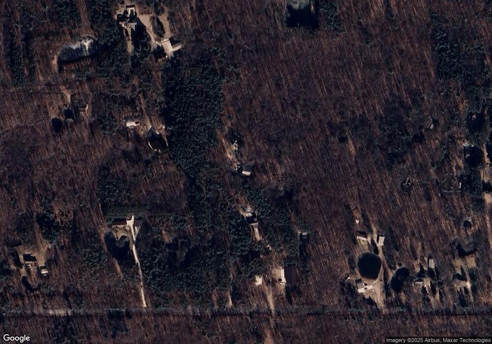
Map
Nearby Homes
- VL Blair St
- 16302 Blair St
- 6060 152nd Ave
- 15611 River Woods
- 16659 Adler Dr
- 16557 Sheldon Sands Ct
- 0 Port Sheldon St Unit Parcel A 25009245
- 5195 Sand Dr
- 7135 Lakeshore Dr
- 5577 Timberstone Ln
- 17055 Forest Lake Dr
- 16976 Lake Ave
- V/L Inland Dr
- 17110 Pimento Hill
- 15991 Croswell St
- 5285 Lakeshore Dr N
- 0 Butternut Dr (Parcel A)
- 7645 Margaret Ave
- VL Barry St Unit Par 4
- VL Barry St Unit Par 3
- 6434 Wuzawoods Dr
- 6590 160th Ave
- 6464 Wuzawoods Dr
- 15841 Port Sheldon St
- 15739 Port Sheldon St
- 15885 Port Sheldon St
- 6459 Browtine Trail
- 6459 Browtine Trail
- 6652 160th Ave
- 6570 160th Ave
- 6519 Haines Ln
- 6575 Haines Ln
- 15868 Blair St
- 15732 Blair St
- 15579 Port Sheldon St
- 6537 Haines Ln
- 6444 160th Ave
- 15640 Blair St
- 15742 Blair St
- 6572 Haines Ln