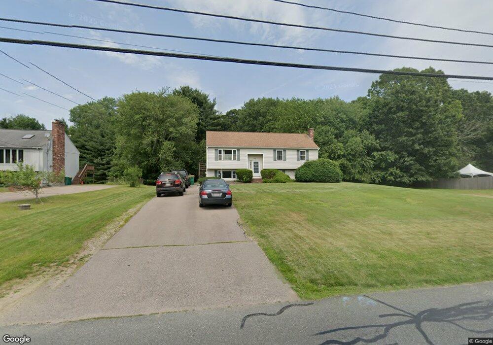
158 Branch St Mansfield, MA 02048
Estimated Value: $604,594 - $692,000
3
Beds
2
Baths
1,184
Sq Ft
$562/Sq Ft
Est. Value
About This Home
This home is located at 158 Branch St, Mansfield, MA 02048 and is currently estimated at $665,149, approximately $561 per square foot. 158 Branch St is a home located in Bristol County with nearby schools including Everett W. Robinson Elementary School, Jordan/Jackson Elementary School, and Harold L. Qualters Middle School.
Ownership History
Date
Name
Owned For
Owner Type
Purchase Details
Closed on
Aug 19, 1994
Sold by
Skidmore Michael J and Skidmore Marie A
Bought by
Prior Wiliam and Mccarthy Patricia
Current Estimated Value
Home Financials for this Owner
Home Financials are based on the most recent Mortgage that was taken out on this home.
Original Mortgage
$116,700
Interest Rate
8.61%
Mortgage Type
Purchase Money Mortgage
Purchase Details
Closed on
Feb 2, 1987
Sold by
Home Developers Inc
Bought by
Skidmore Michael J
Home Financials for this Owner
Home Financials are based on the most recent Mortgage that was taken out on this home.
Original Mortgage
$57,000
Interest Rate
9.26%
Mortgage Type
Purchase Money Mortgage
Create a Home Valuation Report for This Property
The Home Valuation Report is an in-depth analysis detailing your home's value as well as a comparison with similar homes in the area
Home Values in the Area
Average Home Value in this Area
Purchase History
| Date | Buyer | Sale Price | Title Company |
|---|---|---|---|
| Prior Wiliam | $145,900 | -- | |
| Skidmore Michael J | $144,900 | -- |
Source: Public Records
Mortgage History
| Date | Status | Borrower | Loan Amount |
|---|---|---|---|
| Open | Skidmore Michael J | $111,400 | |
| Closed | Skidmore Michael J | $116,700 | |
| Previous Owner | Skidmore Michael J | $50,000 | |
| Previous Owner | Skidmore Michael J | $57,000 |
Source: Public Records
Tax History Compared to Growth
Tax History
| Year | Tax Paid | Tax Assessment Tax Assessment Total Assessment is a certain percentage of the fair market value that is determined by local assessors to be the total taxable value of land and additions on the property. | Land | Improvement |
|---|---|---|---|---|
| 2025 | $6,855 | $520,500 | $247,400 | $273,100 |
| 2024 | $6,534 | $484,000 | $247,400 | $236,600 |
| 2023 | $6,395 | $453,900 | $247,400 | $206,500 |
| 2022 | $6,205 | $409,000 | $229,100 | $179,900 |
| 2021 | $0 | $386,700 | $200,500 | $186,200 |
| 2020 | $5,866 | $381,900 | $190,900 | $191,000 |
| 2019 | $0 | $350,000 | $159,000 | $191,000 |
| 2018 | $0 | $328,200 | $151,700 | $176,500 |
| 2017 | $4,913 | $327,100 | $147,400 | $179,700 |
| 2016 | $4,857 | $315,200 | $140,300 | $174,900 |
| 2015 | $4,512 | $291,100 | $140,300 | $150,800 |
Source: Public Records
Map
Nearby Homes
- 12 Wilson Place
- 21 East St Unit 1D
- 16 East St Unit 2
- 72 Court St Unit B
- 72 Court St Unit A
- 38 Court St
- 28 Court St
- 28 Court St Unit 4
- 76 Samoset Ave
- 99 Pleasant St
- 442 Ware St
- 241-243 N Main St
- 460 Ware St
- 14 School St
- 82 Brook St
- 22 Pleasant St Unit B
- 22 Pleasant St Unit A
- 150 Rumford Ave Unit 222
- 245 Willow St
- 34 Warren Ave