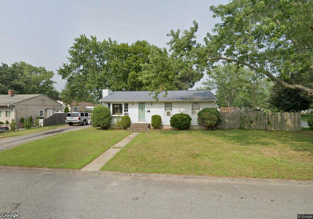
158 Burbank Dr Warwick, RI 02886
Hillsgrove NeighborhoodEstimated Value: $364,641 - $391,000
3
Beds
1
Bath
1,390
Sq Ft
$270/Sq Ft
Est. Value
About This Home
This home is located at 158 Burbank Dr, Warwick, RI 02886 and is currently estimated at $375,410, approximately $270 per square foot. 158 Burbank Dr is a home located in Kent County with nearby schools including St Rose Of Lima School.
Ownership History
Date
Name
Owned For
Owner Type
Purchase Details
Closed on
Jun 28, 2002
Sold by
Prata Joseph and Oliver Peggy Sue
Bought by
Estrella Jeffrey J and Estrella Michele L
Current Estimated Value
Home Financials for this Owner
Home Financials are based on the most recent Mortgage that was taken out on this home.
Original Mortgage
$134,900
Outstanding Balance
$56,923
Interest Rate
6.92%
Mortgage Type
Purchase Money Mortgage
Estimated Equity
$318,487
Purchase Details
Closed on
Jun 27, 2001
Sold by
Lemay Tina L and Mcsoley Gary T
Bought by
Oliver Peggy S and Pratu Joseph
Home Financials for this Owner
Home Financials are based on the most recent Mortgage that was taken out on this home.
Original Mortgage
$114,000
Interest Rate
7.14%
Mortgage Type
Purchase Money Mortgage
Create a Home Valuation Report for This Property
The Home Valuation Report is an in-depth analysis detailing your home's value as well as a comparison with similar homes in the area
Home Values in the Area
Average Home Value in this Area
Purchase History
| Date | Buyer | Sale Price | Title Company |
|---|---|---|---|
| Estrella Jeffrey J | $142,000 | -- | |
| Oliver Peggy S | $120,000 | -- |
Source: Public Records
Mortgage History
| Date | Status | Borrower | Loan Amount |
|---|---|---|---|
| Open | Oliver Peggy S | $134,900 | |
| Previous Owner | Oliver Peggy S | $114,000 |
Source: Public Records
Tax History
| Year | Tax Paid | Tax Assessment Tax Assessment Total Assessment is a certain percentage of the fair market value that is determined by local assessors to be the total taxable value of land and additions on the property. | Land | Improvement |
|---|---|---|---|---|
| 2025 | $4,059 | $319,600 | $102,600 | $217,000 |
| 2024 | $3,824 | $264,300 | $84,700 | $179,600 |
| 2023 | $3,750 | $264,300 | $84,700 | $179,600 |
| 2022 | $3,525 | $188,200 | $54,700 | $133,500 |
| 2021 | $3,525 | $188,200 | $54,700 | $133,500 |
| 2020 | $3,525 | $188,200 | $54,700 | $133,500 |
| 2019 | $3,525 | $188,200 | $54,700 | $133,500 |
| 2018 | $2,752 | $132,300 | $46,200 | $86,100 |
| 2017 | $2,678 | $132,300 | $46,200 | $86,100 |
| 2016 | $2,678 | $132,300 | $46,200 | $86,100 |
| 2015 | $2,646 | $127,500 | $56,600 | $70,900 |
| 2014 | $2,558 | $127,500 | $56,600 | $70,900 |
| 2013 | $2,523 | $127,500 | $56,600 | $70,900 |
Source: Public Records
Map
Nearby Homes
- 65 Almy St
- 38 Red Maple Ln
- 77 Buttonwoods Ave
- 79 Carpenter St
- 70 Turner St Unit F1
- 70 Turner St Unit E-6
- 71 Red Maple Ln
- 64 Ormsby Ave
- 106 Child Ln
- 211 Pinnery Ave
- 62 Red Maple Ln
- 68 Alfred St
- 62 Stone Ave
- 74 Stephens Ave
- 288 Cove Ave
- 161 Sunny Cove Dr
- 78 Keeley Ave
- 224 Palace Ave
- 11 Midway Dr
- 233 Palace Ave
- 63 Perkins St
- 150 Burbank Dr
- 88 Deerfield Dr
- 163 Burbank Dr
- 55 Perkins St
- 155 Burbank Dr
- 80 Deerfield Dr
- 174 Burbank Dr
- 56 Perkins St
- 171 Burbank Dr
- 99 Deerfield Dr
- 47 Perkins St
- 72 Deerfield Dr
- 137 Burbank Dr
- 91 Deerfield Dr
- 83 Deerfield Dr
- 184 Burbank Dr
- 177 Burbank Dr
- 44 Perkins St
- 75 Deerfield Dr