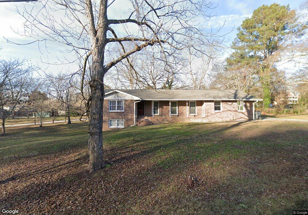
158 Burnside St Jonesboro, GA 30236
Estimated Value: $232,878 - $265,000
3
Beds
2
Baths
1,837
Sq Ft
$136/Sq Ft
Est. Value
About This Home
This home is located at 158 Burnside St, Jonesboro, GA 30236 and is currently estimated at $249,970, approximately $136 per square foot. 158 Burnside St is a home located in Clayton County with nearby schools including Suder Elementary School, Mundys Mill Middle School, and Jonesboro High School.
Ownership History
Date
Name
Owned For
Owner Type
Purchase Details
Closed on
Aug 9, 2019
Sold by
The Smith Liv Trust
Bought by
Day Rosie
Current Estimated Value
Home Financials for this Owner
Home Financials are based on the most recent Mortgage that was taken out on this home.
Original Mortgage
$128,250
Outstanding Balance
$112,323
Interest Rate
3.7%
Mortgage Type
New Conventional
Estimated Equity
$137,647
Purchase Details
Closed on
May 31, 2006
Sold by
Moseley Tom C
Bought by
Smith Living Trust
Create a Home Valuation Report for This Property
The Home Valuation Report is an in-depth analysis detailing your home's value as well as a comparison with similar homes in the area
Home Values in the Area
Average Home Value in this Area
Purchase History
| Date | Buyer | Sale Price | Title Company |
|---|---|---|---|
| Day Rosie | $135,000 | -- | |
| Smith Living Trust | -- | -- |
Source: Public Records
Mortgage History
| Date | Status | Borrower | Loan Amount |
|---|---|---|---|
| Open | Day Rosie | $128,250 |
Source: Public Records
Tax History Compared to Growth
Tax History
| Year | Tax Paid | Tax Assessment Tax Assessment Total Assessment is a certain percentage of the fair market value that is determined by local assessors to be the total taxable value of land and additions on the property. | Land | Improvement |
|---|---|---|---|---|
| 2024 | $4,265 | $109,320 | $7,200 | $102,120 |
| 2023 | $3,320 | $91,960 | $7,200 | $84,760 |
| 2022 | $3,248 | $82,760 | $7,200 | $75,560 |
| 2021 | $2,811 | $71,160 | $7,200 | $63,960 |
| 2020 | $2,160 | $54,000 | $7,200 | $46,800 |
| 2019 | $2,182 | $53,757 | $5,600 | $48,157 |
| 2018 | $2,119 | $52,195 | $5,600 | $46,595 |
| 2017 | $1,880 | $46,197 | $5,600 | $40,597 |
| 2016 | $1,675 | $41,158 | $5,600 | $35,558 |
| 2015 | $1,666 | $0 | $0 | $0 |
| 2014 | $1,217 | $30,591 | $5,600 | $24,991 |
Source: Public Records
Map
Nearby Homes
- 116 Stewart Ave
- 192 Cloud St
- 0 State Highway 54
- 7559 Tara Blvd
- 135 Main St
- 776 Jeb Stuart Dr
- 8857 Woodridge Ct
- 761 Robert e Lee Pkwy
- 738 Dunaire Way
- 755 Dunaire Way
- 109 Stockbridge Rd
- 181 Dean St
- 215 King St
- 657 Utoy Ct
- 8469 Shiloh Ct
- 8474 Magnolia Dr
- 242 Lake Jodeco Rd
- 151 Irvin St
- 597 Wilmont Dr
- 556 Maggie Ln
- 150 Burnside St
- 161 College St
- 168 Fayette Ave
- 168 Fayette Ave Unit 241
- 159 Burnside St
- 157 Burnside St Unit B
- 157 Burnside St
- 157 Burnside St Unit A
- 167 College St
- 151 College St
- 149 Burnside St
- 146 Burnside St
- 170 Fayette Ave
- 145 College St
- 160 College St
- 156 College St
- 147 Burnside Unit 2 St Unit 2
- 147 Burnside Unit 2 St
- 154 College St
- 175 College St