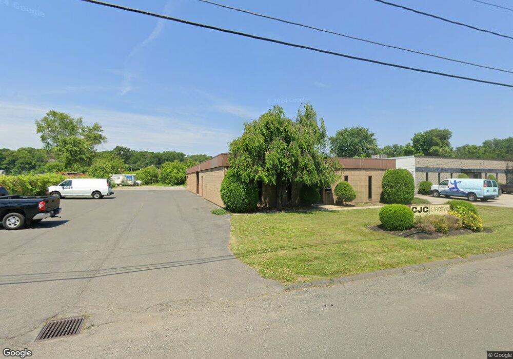
158 Doty Cir West Springfield, MA 01089
Estimated Value: $319,692
--
Bed
2
Baths
3,000
Sq Ft
$107/Sq Ft
Est. Value
About This Home
This home is located at 158 Doty Cir, West Springfield, MA 01089 and is currently priced at $319,692, approximately $106 per square foot. 158 Doty Cir is a home located in Hampden County with nearby schools including West Springfield High School, Holyoke Community Charter School, and Pope Francis High School.
Ownership History
Date
Name
Owned For
Owner Type
Purchase Details
Closed on
Sep 19, 2024
Sold by
Tariff Realty Llc
Bought by
Holyoke Property Mgmt Llc
Current Estimated Value
Home Financials for this Owner
Home Financials are based on the most recent Mortgage that was taken out on this home.
Original Mortgage
$1,350,000
Outstanding Balance
$1,334,825
Interest Rate
6.47%
Mortgage Type
Purchase Money Mortgage
Purchase Details
Closed on
Jan 29, 2016
Sold by
Jws Inc
Bought by
Tariff Realty Llc
Home Financials for this Owner
Home Financials are based on the most recent Mortgage that was taken out on this home.
Original Mortgage
$328,000
Interest Rate
3.97%
Mortgage Type
Commercial
Purchase Details
Closed on
Dec 10, 1985
Bought by
Jws Inc
Create a Home Valuation Report for This Property
The Home Valuation Report is an in-depth analysis detailing your home's value as well as a comparison with similar homes in the area
Home Values in the Area
Average Home Value in this Area
Purchase History
| Date | Buyer | Sale Price | Title Company |
|---|---|---|---|
| Holyoke Property Mgmt Llc | $1,707,850 | None Available | |
| Holyoke Property Mgmt Llc | $1,707,850 | None Available | |
| Tariff Realty Llc | $181,250 | -- | |
| Tariff Realty Llc | $181,250 | -- | |
| Jws Inc | -- | -- |
Source: Public Records
Mortgage History
| Date | Status | Borrower | Loan Amount |
|---|---|---|---|
| Open | Holyoke Property Mgmt Llc | $1,350,000 | |
| Closed | Holyoke Property Mgmt Llc | $1,350,000 | |
| Previous Owner | Tariff Realty Llc | $328,000 |
Source: Public Records
Tax History Compared to Growth
Tax History
| Year | Tax Paid | Tax Assessment Tax Assessment Total Assessment is a certain percentage of the fair market value that is determined by local assessors to be the total taxable value of land and additions on the property. | Land | Improvement |
|---|---|---|---|---|
| 2025 | $13,369 | $441,500 | $114,500 | $327,000 |
| 2024 | $11,139 | $373,800 | $114,500 | $259,300 |
| 2023 | $10,807 | $353,400 | $114,500 | $238,900 |
| 2022 | $10,034 | $324,500 | $103,800 | $220,700 |
| 2021 | $9,585 | $295,100 | $98,000 | $197,100 |
| 2020 | $9,635 | $295,100 | $98,000 | $197,100 |
| 2019 | $9,606 | $295,100 | $98,000 | $197,100 |
| 2018 | $9,709 | $295,100 | $98,000 | $197,100 |
| 2017 | $9,780 | $295,100 | $98,000 | $197,100 |
| 2016 | $9,900 | $298,100 | $94,200 | $203,900 |
| 2015 | $9,708 | $292,500 | $92,400 | $200,100 |
| 2014 | $2,363 | $292,500 | $92,400 | $200,100 |
Source: Public Records
Map
Nearby Homes
- 80 Brush Hill Ave Unit 35
- 80 Brush Hill Ave Unit 28
- 40 Wilfred St
- 0 School St
- 26 Clayton Dr
- 27 Abbey St
- 12 Victorian Dr
- 87 Blanchwood Ave
- 9 Annie's Way
- 11 Annie's Way
- Lot 3 Hyde Rd
- 59 Clayton Dr
- 39 Bonnie Brae Dr
- 36 Lapa Farm Rd
- 168 Hampden St
- 126 Casino Ave
- 81 Poplar St
- 119 Grape St
- 35 Lower Grape St
- 57- 59 Stearns Terrace
- 136 Doty Cir
- 136 Doty Cir
- 136-150 Doty Cir
- 142 Doty Cir Unit 3
- 150 Doty Cir
- 138 Doty Cir
- 163 Doty Cir
- 161 Doty Cir
- 171 Doty Cir
- 190 Doty Cir
- 1547 Riverdale St
- 1583 Riverdale St
- 1583 Riverdale St
- 57 Wayside Ave
- 100 Doty Cir
- 1461 Riverdale St
- 92 Doty Cir
- 65 Wayside Ave
- 63 Brush Hill Ave Unit 63 3
- 1472 Riverdale St Unit A