158 Lowe Rd Deer Isle, ME 04627
Estimated Value: $455,000 - $679,000
3
Beds
2
Baths
2,800
Sq Ft
$193/Sq Ft
Est. Value
About This Home
This home is located at 158 Lowe Rd, Deer Isle, ME 04627 and is currently estimated at $540,175, approximately $192 per square foot. 158 Lowe Rd is a home located in Hancock County with nearby schools including Deer Isle-Stonington Elementary School and Deer Isle-Stonington High School.
Ownership History
Date
Name
Owned For
Owner Type
Purchase Details
Closed on
Apr 11, 2014
Sold by
Field Patricia W and Weith James S
Bought by
Weith Peter W and Wei James S
Current Estimated Value
Home Financials for this Owner
Home Financials are based on the most recent Mortgage that was taken out on this home.
Original Mortgage
$100,000
Outstanding Balance
$76,105
Interest Rate
4.37%
Mortgage Type
Purchase Money Mortgage
Estimated Equity
$464,070
Create a Home Valuation Report for This Property
The Home Valuation Report is an in-depth analysis detailing your home's value as well as a comparison with similar homes in the area
Home Values in the Area
Average Home Value in this Area
Purchase History
| Date | Buyer | Sale Price | Title Company |
|---|---|---|---|
| Weith Peter W | -- | -- |
Source: Public Records
Mortgage History
| Date | Status | Borrower | Loan Amount |
|---|---|---|---|
| Open | Weith Peter W | $100,000 |
Source: Public Records
Tax History Compared to Growth
Tax History
| Year | Tax Paid | Tax Assessment Tax Assessment Total Assessment is a certain percentage of the fair market value that is determined by local assessors to be the total taxable value of land and additions on the property. | Land | Improvement |
|---|---|---|---|---|
| 2024 | $2,725 | $315,400 | $71,000 | $244,400 |
| 2023 | $2,548 | $315,400 | $71,000 | $244,400 |
| 2022 | $2,444 | $315,400 | $71,000 | $244,400 |
| 2021 | $2,413 | $315,400 | $71,000 | $244,400 |
| 2020 | $2,429 | $193,600 | $23,500 | $170,100 |
| 2019 | $4,182 | $193,600 | $23,500 | $170,100 |
| 2018 | $4,250 | $193,600 | $23,500 | $170,100 |
| 2017 | $4,114 | $193,600 | $23,500 | $170,100 |
| 2016 | $4,097 | $195,100 | $23,500 | $171,600 |
| 2015 | $4,273 | $195,100 | $23,500 | $171,600 |
| 2014 | $4,452 | $195,100 | $23,500 | $171,600 |
| 2013 | $4,452 | $195,100 | $23,500 | $171,600 |
Source: Public Records
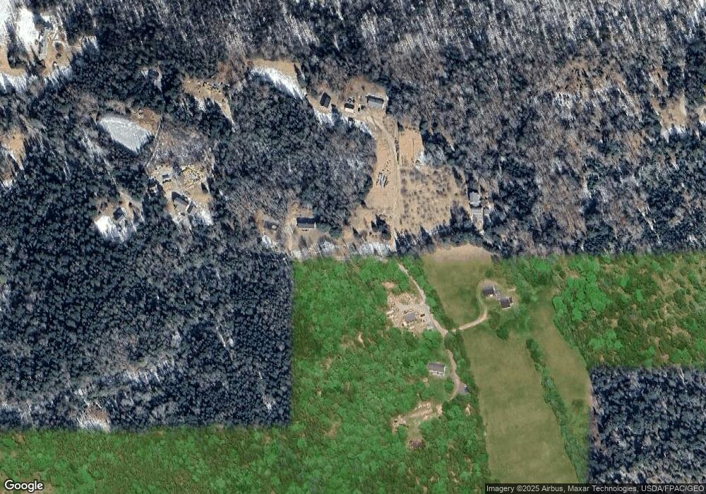
Map
Nearby Homes
- 39 Eastman Ln
- 633 N Deer Isle Rd
- 70 Owens Way
- 30 Hardys Hill Rd
- 90 Quaco Rd
- 0 Quaco Rd Unit 1625807
- 13 Dow Rd
- 94 Weed Point Rd
- 005-054 Bridge St
- 31 Pressey Village Rd
- 113 Pressey Village Rd
- 36 Greenlaw District Rd
- 36 Treasure Ln
- 36 Wiegand Place
- 87 Carter Point Rd
- 92 Silver Mine Ln
- 293 Sunset Rd
- 2 Twin Oaks Ln
- 78 Howland Ln
- 27 Spofford Dr