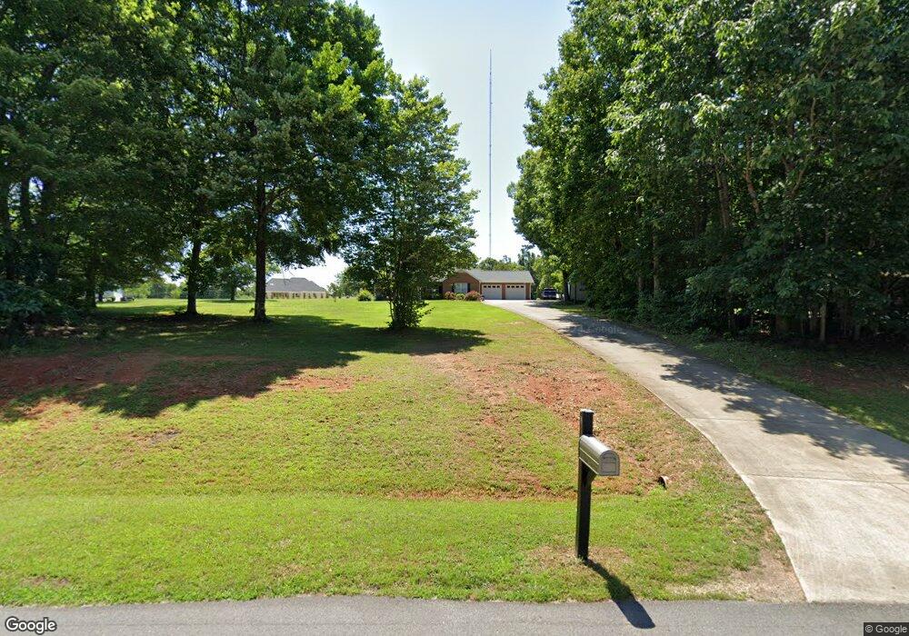
158 Mae Ave Stokesdale, NC 27357
Estimated Value: $288,026 - $335,000
Studio
--
Bath
1,425
Sq Ft
$214/Sq Ft
Est. Value
About This Home
This home is located at 158 Mae Ave, Stokesdale, NC 27357 and is currently estimated at $304,757, approximately $213 per square foot. 158 Mae Ave is a home located in Rockingham County with nearby schools including Huntsville Elementary School, John W. Dillard Academy, and Western Rockingham Middle School.
Ownership History
Date
Name
Owned For
Owner Type
Purchase Details
Closed on
Dec 30, 2021
Sold by
Brown Deborah D and Cummings Deborah Dunlap
Bought by
Brown Deborah D and Brown Francis J
Current Estimated Value
Purchase Details
Closed on
Feb 15, 2008
Sold by
Thomas Donald E and Thomas Patricia E
Bought by
Cummings Deborah Dunlap
Home Financials for this Owner
Home Financials are based on the most recent Mortgage that was taken out on this home.
Original Mortgage
$65,000
Interest Rate
6.06%
Mortgage Type
Purchase Money Mortgage
Create a Home Valuation Report for This Property
The Home Valuation Report is an in-depth analysis detailing your home's value as well as a comparison with similar homes in the area
Purchase History
| Date | Buyer | Sale Price | Title Company |
|---|---|---|---|
| Brown Deborah D | -- | None Available | |
| Cummings Deborah Dunlap | $162,000 | None Available |
Source: Public Records
Mortgage History
| Date | Status | Borrower | Loan Amount |
|---|---|---|---|
| Closed | Cummings Deborah Dunlap | $65,000 |
Source: Public Records
Tax History
| Year | Tax Paid | Tax Assessment Tax Assessment Total Assessment is a certain percentage of the fair market value that is determined by local assessors to be the total taxable value of land and additions on the property. | Land | Improvement |
|---|---|---|---|---|
| 2025 | $1,774 | $251,525 | $30,800 | $220,725 |
| 2024 | $1,734 | $251,525 | $30,800 | $220,725 |
| 2023 | $1,734 | $150,658 | $28,000 | $122,658 |
| 2022 | $1,198 | $150,658 | $28,000 | $122,658 |
| 2021 | $1,198 | $150,658 | $28,000 | $122,658 |
| 2020 | $1,198 | $150,658 | $28,000 | $122,658 |
| 2019 | $1,198 | $150,658 | $28,000 | $122,658 |
| 2018 | $1,185 | $148,926 | $39,000 | $109,926 |
| 2017 | $1,185 | $148,926 | $39,000 | $109,926 |
| 2015 | $1,197 | $148,926 | $39,000 | $109,926 |
| 2014 | $1,185 | $148,926 | $39,000 | $109,926 |
Source: Public Records
Map
Nearby Homes
- 147 Northcrest Dr
- 162 Albert Rd
- 215 Northcrest Dr
- 198 Twin Creeks Dr
- 129 Willowbrooke Ct
- 130 Willowbrooke Ct
- 129 Willowbrooke Way
- 125 Willowbrooke Ct
- 121 Longleaf Ct
- 125 Willowbrooke Way
- 152 W Farm Loop
- 146 W Farm Loop
- 142 W Farm Loop
- 136 W Farm Loop
- 118 Willowbrooke Ct
- 118 Willowbrooke Way
- 410 Willowbrooke Way
- 9685 Nc Highway 65
- 115 E Holly Oak Way
- 368 Willowbrooke Ct
Your Personal Tour Guide
Ask me questions while you tour the home.