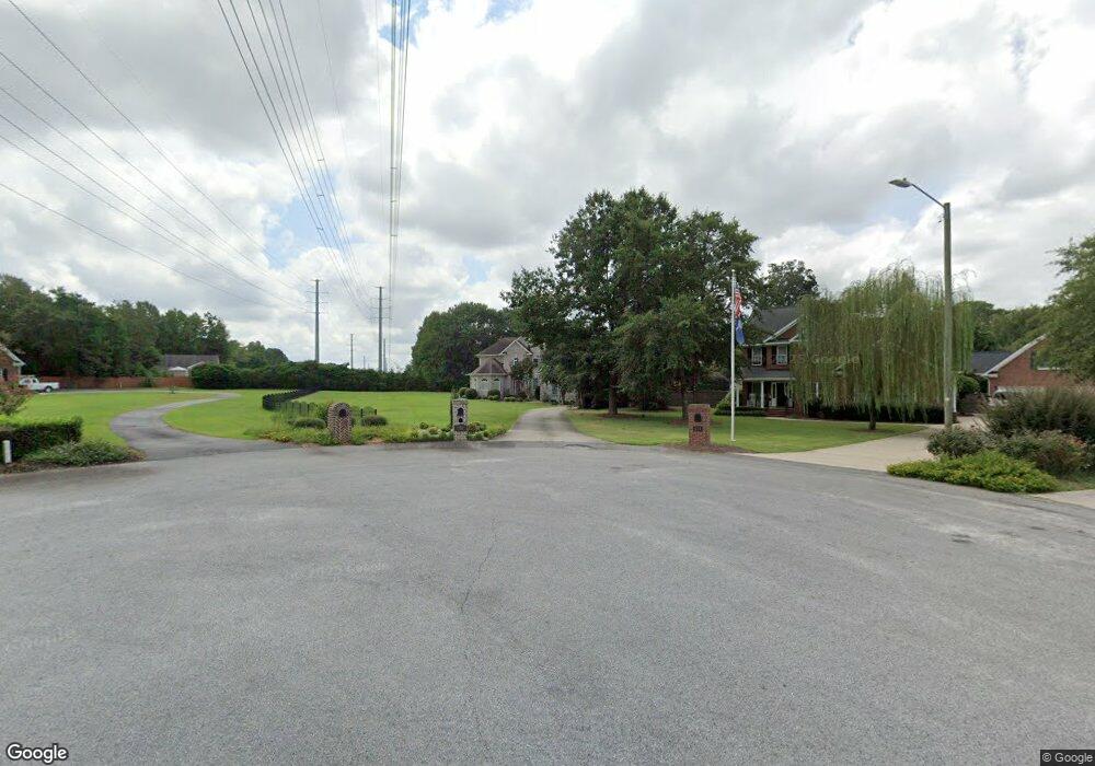
158 Manning Dr West Columbia, SC 29169
Estimated Value: $432,000 - $678,198
5
Beds
6
Baths
4,531
Sq Ft
$122/Sq Ft
Est. Value
About This Home
This home is located at 158 Manning Dr, West Columbia, SC 29169 and is currently estimated at $552,300, approximately $121 per square foot. 158 Manning Dr is a home located in Lexington County with nearby schools including Riverbank Elementary, Cyril B. Busbee Creative Arts Academy, and Brookland-Cayce High School.
Ownership History
Date
Name
Owned For
Owner Type
Purchase Details
Closed on
Mar 13, 2025
Sold by
Chambers Candra S and Chambers Nicholas A
Bought by
Nicholas A Chambers Living Trust and Candra S Chambers Living Trust
Current Estimated Value
Purchase Details
Closed on
Nov 10, 2006
Sold by
Hornsby Kristi M and Hornsby Matthew R
Bought by
Chambers Nicholas A and Chambers Candra M
Home Financials for this Owner
Home Financials are based on the most recent Mortgage that was taken out on this home.
Original Mortgage
$30,375
Interest Rate
6.27%
Mortgage Type
New Conventional
Purchase Details
Closed on
Jun 19, 2006
Sold by
The Hook Partnership
Bought by
Hornsby Matthew R and Hornsby Kristi M
Home Financials for this Owner
Home Financials are based on the most recent Mortgage that was taken out on this home.
Original Mortgage
$20,000
Interest Rate
6.49%
Mortgage Type
New Conventional
Create a Home Valuation Report for This Property
The Home Valuation Report is an in-depth analysis detailing your home's value as well as a comparison with similar homes in the area
Home Values in the Area
Average Home Value in this Area
Purchase History
| Date | Buyer | Sale Price | Title Company |
|---|---|---|---|
| Nicholas A Chambers Living Trust | -- | None Listed On Document | |
| Chambers Nicholas A | $38,500 | None Available | |
| Hornsby Matthew R | $32,000 | None Available |
Source: Public Records
Mortgage History
| Date | Status | Borrower | Loan Amount |
|---|---|---|---|
| Previous Owner | Chambers Nicholas A | $30,375 | |
| Previous Owner | Hornsby Matthew R | $20,000 |
Source: Public Records
Tax History Compared to Growth
Tax History
| Year | Tax Paid | Tax Assessment Tax Assessment Total Assessment is a certain percentage of the fair market value that is determined by local assessors to be the total taxable value of land and additions on the property. | Land | Improvement |
|---|---|---|---|---|
| 2024 | $3,140 | $16,432 | $1,600 | $14,832 |
| 2023 | $3,140 | $16,432 | $1,600 | $14,832 |
| 2022 | $3,170 | $16,432 | $1,600 | $14,832 |
| 2020 | $3,045 | $16,432 | $1,600 | $14,832 |
| 2019 | $2,876 | $15,205 | $1,352 | $13,853 |
| 2018 | $2,906 | $15,205 | $1,352 | $13,853 |
| 2017 | $2,789 | $15,205 | $1,352 | $13,853 |
| 2016 | $2,869 | $15,204 | $1,352 | $13,852 |
| 2014 | $2,088 | $14,560 | $1,350 | $13,210 |
| 2013 | -- | $14,560 | $1,350 | $13,210 |
Source: Public Records
Map
Nearby Homes
- 212 Alexandria St
- 309 Hammond Ave
- 1802 D Ave
- 116 Silver Run Place
- 135 Silver Run Place
- 1608 Crapps Ave
- 2024 Platt Springs Rd
- 153 Cavendish Dr
- 151 Cavendish Dr
- 157 Cavendish Dr
- 1734 C Ave
- 339 Gum Swamp Trail
- 349 Gum Swamp Trail
- 1628 C Ave
- 1610 D Ave
- 706 Westside Dr
- Oak Plan at Faith Hills
- 1452 C Ave
- 1445 D Ave
- 215 Sandel Ln