158 Mount Hunger Shore Rd Windham, ME 04062
Estimated Value: $402,000 - $429,217
3
Beds
2
Baths
1,465
Sq Ft
$279/Sq Ft
Est. Value
About This Home
This home is located at 158 Mount Hunger Shore Rd, Windham, ME 04062 and is currently estimated at $409,054, approximately $279 per square foot. 158 Mount Hunger Shore Rd is a home located in Cumberland County with nearby schools including Manchester School, Windham Primary School, and Windham Middle School.
Ownership History
Date
Name
Owned For
Owner Type
Purchase Details
Closed on
Sep 8, 2025
Sold by
Franklin Angela S
Bought by
Dunphe Wayne G and Hunter Susan
Current Estimated Value
Home Financials for this Owner
Home Financials are based on the most recent Mortgage that was taken out on this home.
Original Mortgage
$319,920
Outstanding Balance
$319,366
Interest Rate
6.74%
Mortgage Type
New Conventional
Estimated Equity
$89,688
Purchase Details
Closed on
Aug 28, 2014
Sold by
Abrol Paul J and Abrol Julia M
Bought by
Franklin Angela S
Home Financials for this Owner
Home Financials are based on the most recent Mortgage that was taken out on this home.
Original Mortgage
$192,500
Interest Rate
4.14%
Mortgage Type
New Conventional
Create a Home Valuation Report for This Property
The Home Valuation Report is an in-depth analysis detailing your home's value as well as a comparison with similar homes in the area
Home Values in the Area
Average Home Value in this Area
Purchase History
| Date | Buyer | Sale Price | Title Company |
|---|---|---|---|
| Dunphe Wayne G | $399,900 | -- | |
| Franklin Angela S | -- | -- | |
| Franklin Angela S | -- | -- | |
| Franklin Angela S | -- | -- |
Source: Public Records
Mortgage History
| Date | Status | Borrower | Loan Amount |
|---|---|---|---|
| Open | Dunphe Wayne G | $319,920 | |
| Previous Owner | Franklin Angela S | $192,500 |
Source: Public Records
Tax History Compared to Growth
Tax History
| Year | Tax Paid | Tax Assessment Tax Assessment Total Assessment is a certain percentage of the fair market value that is determined by local assessors to be the total taxable value of land and additions on the property. | Land | Improvement |
|---|---|---|---|---|
| 2024 | $4,790 | $417,600 | $129,300 | $288,300 |
| 2023 | $4,474 | $399,500 | $120,700 | $278,800 |
| 2022 | $4,098 | $353,000 | $104,900 | $248,100 |
| 2021 | $3,577 | $283,900 | $81,100 | $202,800 |
| 2020 | $3,830 | $255,300 | $82,300 | $173,000 |
| 2019 | $3,738 | $255,300 | $82,300 | $173,000 |
| 2018 | $618 | $241,900 | $81,700 | $160,200 |
| 2017 | $3,597 | $218,900 | $74,400 | $144,500 |
| 2016 | $3,437 | $218,900 | $74,400 | $144,500 |
| 2015 | $3,686 | $243,300 | $98,800 | $144,500 |
| 2014 | $3,423 | $243,300 | $98,800 | $144,500 |
| 2013 | -- | $243,300 | $98,800 | $144,500 |
Source: Public Records
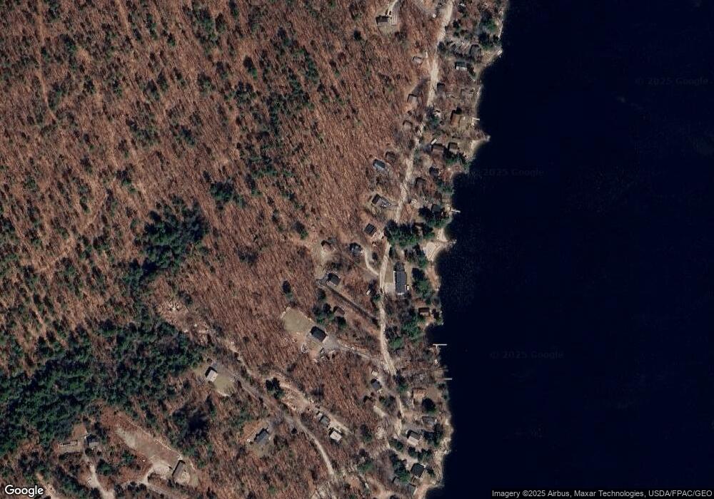
Map
Nearby Homes
- 15 Worcester Dr
- lot #8 Bedrock Terrace
- 99 Enterprise Dr
- 107 Harvest Hill Rd
- 20 Bittersweet Way
- 8 Lily Ln
- 1083 Roosevelt Trail
- 3 Pride Ln
- 24 Hillside Dr
- 18 Hillside Dr
- 1042 Roosevelt Trail
- 36 Whites Bridge Rd Unit 8
- 56 Qualey Rd
- 34 Trails End Rd
- 80 Sky Dr
- 35 Webbs Mills Rd
- 16 Peterson Rd
- 14 Sabbady Point Rd
- 1 Matinicus Way Unit 1
- 219 Tandberg Trail
- 162 Mount Hunger Shore Rd
- 154 Mount Hunger Shore Rd
- 152 Mt Hunger Shore Rd
- 152 Mount Hunger Shore Rd
- 152 Mt Hunger Shore Rd
- 152 Mount Hunger Shore Rd
- 166 Mount Hunger Shore Rd
- 337 Mount Hunger Shore Rd
- 161 Mount Hunger Shore Rd
- 352 Mount Hunger Shore Rd
- 157 Mount Hunger Shore Rd
- 148 Mount Hunger Shore Rd
- 165 Mount Hunger Shore Rd
- 265 Mount Hunger Shore Rd
- 0 Mount Hunger Shore Rd
- 0 Mount Hunger Shore Rd
- 210 Mount Hunger Shore Rd
- 210 Mount Hunger Shore
- 352 Mt Hunger Shore Rd
- 169 Mount Hunger Shore Rd