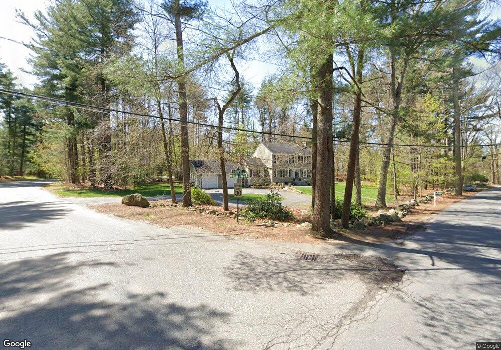
158 Powers Rd Sudbury, MA 01776
Estimated Value: $958,229 - $1,125,000
4
Beds
3
Baths
2,008
Sq Ft
$513/Sq Ft
Est. Value
About This Home
This home is located at 158 Powers Rd, Sudbury, MA 01776 and is currently estimated at $1,029,557, approximately $512 per square foot. 158 Powers Rd is a home located in Middlesex County with nearby schools including Josiah Haynes Elementary School, Ephraim Curtis Middle School, and Lincoln-Sudbury Regional High School.
Ownership History
Date
Name
Owned For
Owner Type
Purchase Details
Closed on
Sep 27, 2007
Sold by
Howe Jack Clifford
Bought by
Ten-Brinke Kevin J and Talancy Kalah A
Current Estimated Value
Home Financials for this Owner
Home Financials are based on the most recent Mortgage that was taken out on this home.
Original Mortgage
$300,000
Outstanding Balance
$191,581
Interest Rate
6.65%
Mortgage Type
Purchase Money Mortgage
Estimated Equity
$837,976
Create a Home Valuation Report for This Property
The Home Valuation Report is an in-depth analysis detailing your home's value as well as a comparison with similar homes in the area
Home Values in the Area
Average Home Value in this Area
Purchase History
| Date | Buyer | Sale Price | Title Company |
|---|---|---|---|
| Ten-Brinke Kevin J | $536,000 | -- |
Source: Public Records
Mortgage History
| Date | Status | Borrower | Loan Amount |
|---|---|---|---|
| Open | Ten-Brinke Kevin J | $300,000 |
Source: Public Records
Tax History Compared to Growth
Tax History
| Year | Tax Paid | Tax Assessment Tax Assessment Total Assessment is a certain percentage of the fair market value that is determined by local assessors to be the total taxable value of land and additions on the property. | Land | Improvement |
|---|---|---|---|---|
| 2025 | $12,349 | $843,500 | $440,800 | $402,700 |
| 2024 | $11,898 | $814,400 | $428,000 | $386,400 |
| 2023 | $11,343 | $719,300 | $396,400 | $322,900 |
| 2022 | $11,168 | $618,700 | $364,000 | $254,700 |
| 2021 | $10,869 | $577,200 | $364,000 | $213,200 |
| 2020 | $10,649 | $577,200 | $364,000 | $213,200 |
| 2019 | $10,338 | $577,200 | $364,000 | $213,200 |
| 2018 | $10,441 | $582,300 | $388,000 | $194,300 |
| 2017 | $9,963 | $561,600 | $369,200 | $192,400 |
| 2016 | $9,646 | $541,900 | $355,200 | $186,700 |
| 2015 | $9,233 | $524,600 | $341,600 | $183,000 |
| 2014 | $9,210 | $510,800 | $331,600 | $179,200 |
Source: Public Records
Map
Nearby Homes
- 16 Blacksmith Dr
- 369 Border Rd
- 42 Dakin Rd
- 67 Powder Mill Rd
- 29 Black Birch Ln Unit 29
- 57 Longfellow Rd
- 9 Black Birch Ln Unit 9
- 96 Forest Ridge Rd Unit 96
- 589 North Rd
- 5 Oak Ridge Dr Unit 7
- 40 Rookery Ln Unit 5
- 72 Rookery Ln Unit 3
- 10 Oak Ridge Dr Unit 5
- 80 N Branch Rd
- 401 Emery Ln Unit 104
- 24 Rookery Ln Unit 6
- 56 Rookery Ln Unit 4
- 1844 Main St Unit 1844
- 1 Maillet Dr
- 2 & 6 Powder Mill Rd
- 111 Willard Grant Rd
- 150 Powers Rd
- 161 Powers Rd
- 126 Willard Grant Rd
- 118 Willard Grant Rd
- 112 Willard Grant Rd
- 147 Powers Rd
- 105 Willard Grant Rd
- 105 Willard Grant Rd Unit 105
- 153 Powers Rd
- 169 Powers Rd
- 142 Powers Rd
- 106 Willard Grant Rd
- 139 Powers Rd
- 175 Powers Rd
- 10 Barnet Rd
- 11 Barnet Rd
- 97 Willard Grant Rd
- 96 Willard Grant Rd
- 84 Cedar Creek Rd