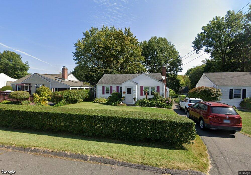
158 Randal Ave West Hartford, CT 06110
Estimated Value: $327,000 - $364,000
3
Beds
1
Bath
966
Sq Ft
$359/Sq Ft
Est. Value
About This Home
This home is located at 158 Randal Ave, West Hartford, CT 06110 and is currently estimated at $346,837, approximately $359 per square foot. 158 Randal Ave is a home located in Hartford County with nearby schools including Wolcott School, Sedgwick Middle School, and Conard High School.
Ownership History
Date
Name
Owned For
Owner Type
Purchase Details
Closed on
Sep 8, 2008
Sold by
Benney Christopher J
Bought by
Fernandez Max M and Fernandez Paula L
Current Estimated Value
Home Financials for this Owner
Home Financials are based on the most recent Mortgage that was taken out on this home.
Original Mortgage
$172,000
Interest Rate
6.69%
Purchase Details
Closed on
Aug 26, 2005
Sold by
Long Catherine S
Bought by
Benney Christopher J
Home Financials for this Owner
Home Financials are based on the most recent Mortgage that was taken out on this home.
Original Mortgage
$168,000
Interest Rate
5.68%
Purchase Details
Closed on
Jan 2, 2002
Sold by
Scott Julia F
Bought by
Long Catherine S
Create a Home Valuation Report for This Property
The Home Valuation Report is an in-depth analysis detailing your home's value as well as a comparison with similar homes in the area
Home Values in the Area
Average Home Value in this Area
Purchase History
| Date | Buyer | Sale Price | Title Company |
|---|---|---|---|
| Fernandez Max M | $215,000 | -- | |
| Benney Christopher J | $210,000 | -- | |
| Long Catherine S | $134,000 | -- |
Source: Public Records
Mortgage History
| Date | Status | Borrower | Loan Amount |
|---|---|---|---|
| Open | Long Catherine S | $174,040 | |
| Closed | Long Catherine S | $172,000 | |
| Previous Owner | Long Catherine S | $200,000 | |
| Previous Owner | Long Catherine S | $168,000 |
Source: Public Records
Tax History Compared to Growth
Tax History
| Year | Tax Paid | Tax Assessment Tax Assessment Total Assessment is a certain percentage of the fair market value that is determined by local assessors to be the total taxable value of land and additions on the property. | Land | Improvement |
|---|---|---|---|---|
| 2025 | $6,275 | $140,140 | $55,510 | $84,630 |
| 2024 | $5,935 | $140,140 | $55,510 | $84,630 |
| 2023 | $5,735 | $140,140 | $55,510 | $84,630 |
| 2022 | $5,701 | $140,140 | $55,510 | $84,630 |
| 2021 | $5,547 | $130,760 | $53,340 | $77,420 |
| 2020 | $4,916 | $117,600 | $44,940 | $72,660 |
| 2019 | $4,922 | $117,740 | $44,940 | $72,800 |
| 2018 | $4,827 | $117,740 | $44,940 | $72,800 |
| 2017 | $4,832 | $117,740 | $44,940 | $72,800 |
| 2016 | $4,904 | $124,110 | $52,290 | $71,820 |
| 2015 | $4,755 | $124,110 | $52,290 | $71,820 |
| 2014 | $4,638 | $124,110 | $52,290 | $71,820 |
Source: Public Records
Map
Nearby Homes
- 305 Hampton Ct
- 20 Surrey Dr Unit B16 aka B4
- 148 Colonial St
- 107 Westgate St
- 54 Red Top Dr
- 479 S Main St
- 16 Thornton Dr
- 61 Colonial St
- 121 Cambridge St
- 18 Federal St
- 31 Dacosta Dr
- 24 Thorne Rd Unit 24
- 49 Somerset St
- 47 Francis Dr
- 25 Fowler Dr
- 41 Page Ave
- 228 Reservoir Rd
- 29 Sunnyside Rd
- 140 Camp Ave
- 1145 New Britain Ave