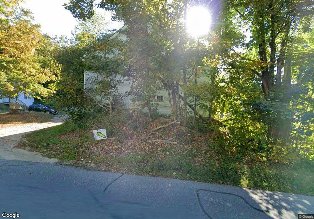
158 River St Dunstable, MA 01827
Estimated Value: $879,000 - $975,000
4
Beds
3
Baths
2,997
Sq Ft
$312/Sq Ft
Est. Value
About This Home
This home is located at 158 River St, Dunstable, MA 01827 and is currently estimated at $934,265, approximately $311 per square foot. 158 River St is a home located in Middlesex County with nearby schools including Groton Dunstable Regional High School and 2nd Nature Academy.
Create a Home Valuation Report for This Property
The Home Valuation Report is an in-depth analysis detailing your home's value as well as a comparison with similar homes in the area
Home Values in the Area
Average Home Value in this Area
Tax History
| Year | Tax Paid | Tax Assessment Tax Assessment Total Assessment is a certain percentage of the fair market value that is determined by local assessors to be the total taxable value of land and additions on the property. | Land | Improvement |
|---|---|---|---|---|
| 2025 | $9,694 | $704,990 | $268,790 | $436,200 |
| 2024 | $8,925 | $639,360 | $245,060 | $394,300 |
| 2023 | $9,173 | $612,735 | $243,435 | $369,300 |
| 2022 | $8,602 | $564,046 | $241,546 | $322,500 |
| 2021 | $8,790 | $535,676 | $220,076 | $315,600 |
| 2020 | $8,654 | $513,876 | $220,076 | $293,800 |
| 2019 | $8,748 | $512,762 | $218,962 | $293,800 |
| 2018 | $8,424 | $480,284 | $214,584 | $265,700 |
| 2017 | $8,191 | $481,253 | $215,553 | $265,700 |
| 2016 | $7,713 | $466,034 | $203,534 | $262,500 |
| 2015 | $7,390 | $441,694 | $175,994 | $265,700 |
| 2014 | $6,966 | $441,726 | $176,026 | $265,700 |
Source: Public Records
Map
Nearby Homes
- 24 Unkety Brook Way
- 147 Nashua Rd
- 77 Birchwood Dr
- 6 Testament Cir Unit 5
- 8 Casie Ln
- 1 Pats Way
- 21 Shawn Ave
- 4 Southgate Rd
- 38 Tarbell St Unit 5B
- 38 Tarbell St Unit 1D
- 29 Tarbell St
- 28-30 Groton St
- 208 North St
- 1 Ladd Ln
- 9-48-8 Ladd Ln
- 39 Hollis St Unit A
- 179 Wyman Rd
- 14 Brookline St
- 194 Dow Rd
- 235 Kemp St
Your Personal Tour Guide
Ask me questions while you tour the home.