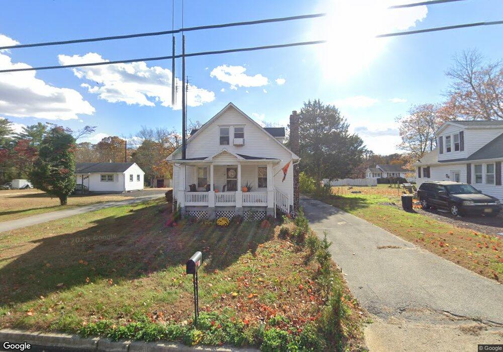
158 Roadstown Rd Unit 160 Bridgeton, NJ 08302
Estimated Value: $186,684 - $286,000
--
Bed
--
Bath
1,327
Sq Ft
$186/Sq Ft
Est. Value
About This Home
This home is located at 158 Roadstown Rd Unit 160, Bridgeton, NJ 08302 and is currently estimated at $246,171, approximately $185 per square foot. 158 Roadstown Rd Unit 160 is a home located in Cumberland County with nearby schools including Hopewell Crest School, Cumberland Regional High School, and Bridgeton Christian School.
Ownership History
Date
Name
Owned For
Owner Type
Purchase Details
Closed on
Apr 18, 2024
Sold by
West Emma R and West Emma F
Bought by
D Locicero Llc
Current Estimated Value
Home Financials for this Owner
Home Financials are based on the most recent Mortgage that was taken out on this home.
Original Mortgage
$158,820
Interest Rate
6.74%
Mortgage Type
Construction
Purchase Details
Closed on
Dec 27, 1993
Sold by
West Carl L
Bought by
West John D and West Emma R
Purchase Details
Closed on
Jun 26, 1980
Bought by
West Emma
Create a Home Valuation Report for This Property
The Home Valuation Report is an in-depth analysis detailing your home's value as well as a comparison with similar homes in the area
Home Values in the Area
Average Home Value in this Area
Purchase History
| Date | Buyer | Sale Price | Title Company |
|---|---|---|---|
| D Locicero Llc | $125,000 | Dominion Title | |
| West John D | $47,500 | -- | |
| West Emma | -- | -- |
Source: Public Records
Mortgage History
| Date | Status | Borrower | Loan Amount |
|---|---|---|---|
| Closed | D Locicero Llc | $158,820 |
Source: Public Records
Tax History Compared to Growth
Tax History
| Year | Tax Paid | Tax Assessment Tax Assessment Total Assessment is a certain percentage of the fair market value that is determined by local assessors to be the total taxable value of land and additions on the property. | Land | Improvement |
|---|---|---|---|---|
| 2025 | $6,475 | $177,800 | $37,700 | $140,100 |
| 2024 | $6,475 | $177,800 | $37,700 | $140,100 |
| 2023 | $6,170 | $177,800 | $37,700 | $140,100 |
| 2022 | $5,875 | $177,800 | $37,700 | $140,100 |
| 2021 | $5,710 | $177,800 | $37,700 | $140,100 |
| 2020 | $6,049 | $177,800 | $37,700 | $140,100 |
| 2019 | $5,960 | $177,800 | $37,700 | $140,100 |
| 2018 | $5,761 | $177,800 | $37,700 | $140,100 |
| 2017 | $5,583 | $177,800 | $37,700 | $140,100 |
| 2016 | $4,941 | $132,300 | $32,200 | $100,100 |
| 2015 | $4,597 | $132,300 | $32,200 | $100,100 |
| 2014 | $4,616 | $132,300 | $32,200 | $100,100 |
Source: Public Records
Map
Nearby Homes
- 395 W Broad St
- 34 Townsend Ave
- 262 Roadstown Rd
- 47 Westwood Ave
- 225 W Commerce St
- 28 Osborn Ln
- 151 W Commerce St
- 262 W Park Dr
- 252 W Park Dr
- 242 Belmont Ave
- 4 Tipton Dr
- 16 Field Stone Ct
- 16 New St
- 642 Shiloh Pike
- 195 Mary Elmer Dr
- 159 Fayette St
- 26 Franklin Dr
- 24 Nestler Rd
- 57 Vine St
- 43 Franklin Dr
- 158 Roadstown Rd
- 162 Roadstown Rd
- 166 Roadstown Rd
- 168 Roadstown Rd
- 163 Roadstown Rd
- 167 Roadstown Rd
- 159 Roadstown Rd
- 169 Roadstown Rd Unit 171
- 153 Roadstown Rd
- 2 Gressman Ln
- 4 Gressman Ln
- 180 Roadstown Rd
- 6 Gressman Ln
- 154 Roadstown Rd
- 150 Roadstown Rd
- 144 Roadstown Rd
- 184 Roadstown Rd
- 145 Roadstown Rd
- 170 Roadstown Rd Unit 172
- 0 Roadstown Rd Unit 1007474634