Estimated Value: $503,000 - $521,903
2
Beds
1
Bath
1,849
Sq Ft
$276/Sq Ft
Est. Value
About This Home
This home is located at 158 S 1970 W, Lehi, UT 84043 and is currently estimated at $509,726, approximately $275 per square foot. 158 S 1970 W is a home located in Utah County with nearby schools including Snow Springs Elementary, Willowcreek Middle School, and Lehi High School.
Ownership History
Date
Name
Owned For
Owner Type
Purchase Details
Closed on
Nov 29, 2017
Sold by
Minson Stanley H and Minson Kathryn P
Bought by
Minson Stanley H and Minson Kathryn P
Current Estimated Value
Purchase Details
Closed on
Jan 25, 2010
Sold by
Leisure Villas Inc
Bought by
Minson Stanley H and Minson Kathryn P
Home Financials for this Owner
Home Financials are based on the most recent Mortgage that was taken out on this home.
Original Mortgage
$204,517
Interest Rate
5.37%
Mortgage Type
FHA
Purchase Details
Closed on
Jan 19, 2007
Sold by
Redwood Group Llc
Bought by
Leisure Villas Inc
Home Financials for this Owner
Home Financials are based on the most recent Mortgage that was taken out on this home.
Original Mortgage
$6,220,000
Interest Rate
6.11%
Mortgage Type
Purchase Money Mortgage
Create a Home Valuation Report for This Property
The Home Valuation Report is an in-depth analysis detailing your home's value as well as a comparison with similar homes in the area
Home Values in the Area
Average Home Value in this Area
Purchase History
| Date | Buyer | Sale Price | Title Company |
|---|---|---|---|
| Minson Stanley H | -- | None Available | |
| Minson Stanley H | -- | Metro National Title | |
| Leisure Villas Inc | -- | Merrill Title Company |
Source: Public Records
Mortgage History
| Date | Status | Borrower | Loan Amount |
|---|---|---|---|
| Previous Owner | Minson Stanley H | $204,517 | |
| Previous Owner | Leisure Villas Inc | $6,220,000 |
Source: Public Records
Tax History Compared to Growth
Tax History
| Year | Tax Paid | Tax Assessment Tax Assessment Total Assessment is a certain percentage of the fair market value that is determined by local assessors to be the total taxable value of land and additions on the property. | Land | Improvement |
|---|---|---|---|---|
| 2025 | $2,418 | $273,075 | $73,000 | $423,500 |
| 2024 | $2,418 | $283,030 | $0 | $0 |
| 2023 | $2,090 | $265,540 | $0 | $0 |
| 2022 | $2,011 | $247,775 | $0 | $0 |
| 2021 | $1,819 | $338,700 | $50,800 | $287,900 |
| 2020 | $1,794 | $330,200 | $49,500 | $280,700 |
| 2019 | $1,615 | $309,100 | $46,400 | $262,700 |
| 2018 | $1,327 | $240,000 | $35,000 | $205,000 |
| 2017 | $1,372 | $132,000 | $0 | $0 |
| 2016 | $1,479 | $132,000 | $0 | $0 |
| 2015 | $1,558 | $132,000 | $0 | $0 |
| 2014 | $1,391 | $117,150 | $0 | $0 |
Source: Public Records
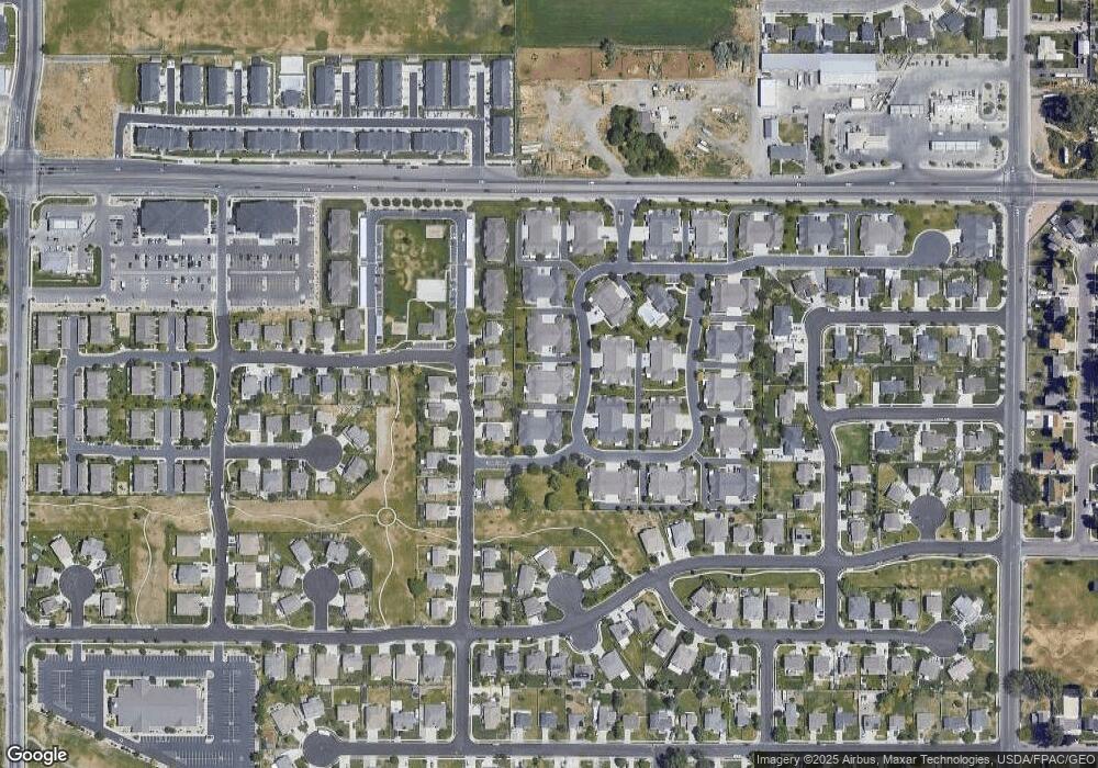
Map
Nearby Homes
- 202 S 2035 W
- 131 S 1900 W Unit 2
- 2162 W Main St Unit E303
- 2178 W Main St Unit D301
- 1784 W Grays Place
- 41 N 2150 W
- 1743 W Grays Place
- 210 S Tamarak Cir
- 161 S 1475 W
- 380 S 1500 W
- 122 N 2430 W Unit 1
- 105 N 2430 W
- The Roslyn Plan at Carla's Cove
- The Tracie Plan at Carla's Cove
- The Brooke Plan at Carla's Cove
- The Jackie Plan at Carla's Cove
- 581 S 1500 W
- 1379 W 425 S
- 603 S 2500 W
- 1363 W 425 S
- 158 S 1970 W
- 158 S 1970 W
- 158 S 1970 W
- 158 S 1970 W Unit K-2
- 158 S 1970 W Unit 4
- 158 S 1970 W Unit 1
- 158 S 1970 W Unit 3
- 158 S 1970 W Unit K-1
- 158 S 1970 W Unit K-4
- 126 S 1970 W
- 126 S 1970 W
- 126 S 1970 W
- 126 S 1970 W
- 126 S 1970 W Unit J2
- 126 S 1970 W Unit 3
- 126 S 1970 W Unit 4
- 188 S 1970 W
- 188 S 1970 W
- 188 S 1970 W Unit 1
- 188 S 1970 W